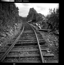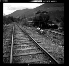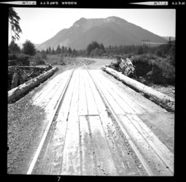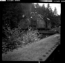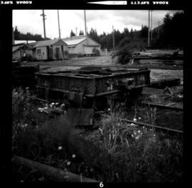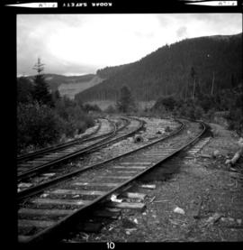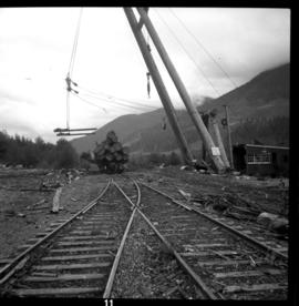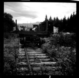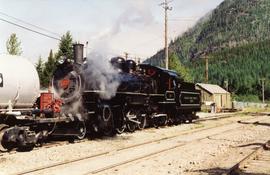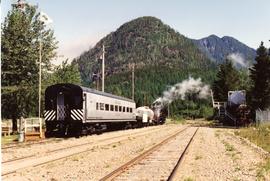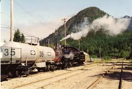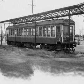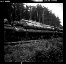
2013.6.36.1.052.04
·
Item
·
8 Aug. 1975
Part of David Davies Railway Collection
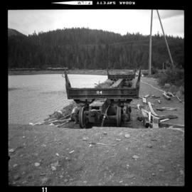
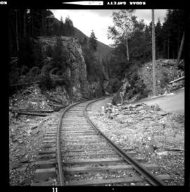
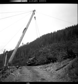
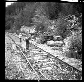
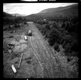
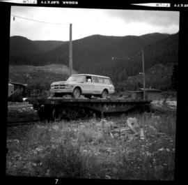
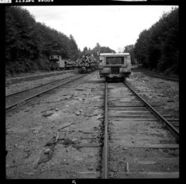
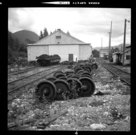
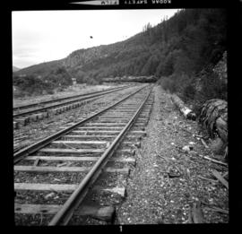
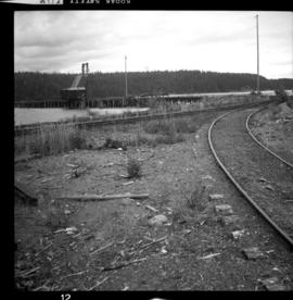
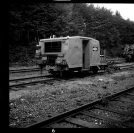
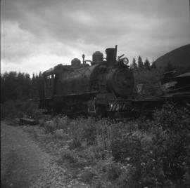
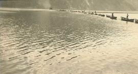
Photograph taken at Beaver Cove. Image captures part of a log train that had arrived at the terminal and was waiting to be dumped into the sea. Log car #606 was built in December 1922.