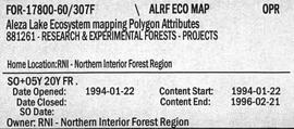
2007.1.60.03.8
·
Item
·
[1994 or 1995]
Part of Aleza Lake Research Forest fonds
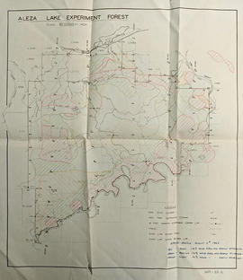
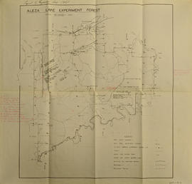
Item is a photocopied Aleza Lake Forest map with forest cover labels, annotated to show 1995 sample transects.