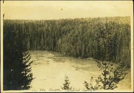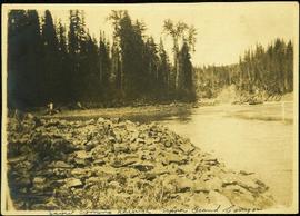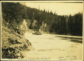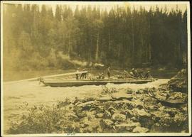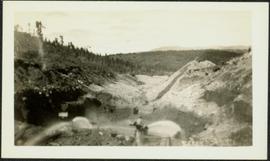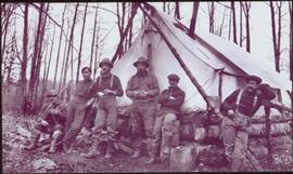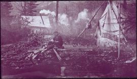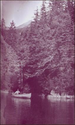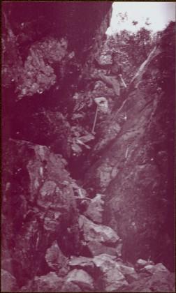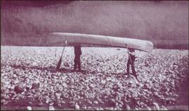
2009.5.3.109
·
Item
·
[1911?]
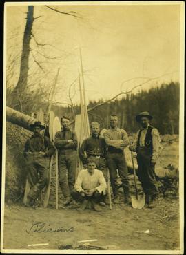
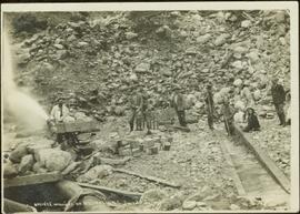
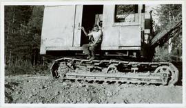
Part of Taylor-Baxter Family Photograph Collection
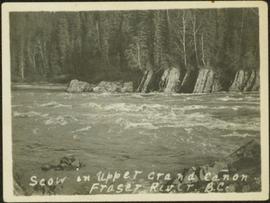
Photograph depicts men on river scow in distance. Rocks in foreground, trees and cliffs on opposite shore in background. Handwritten annotation on verso of photograph: "Scow in Upper Grand Canon. Fraser River. B.C.."