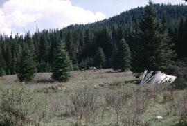
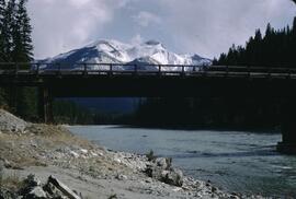
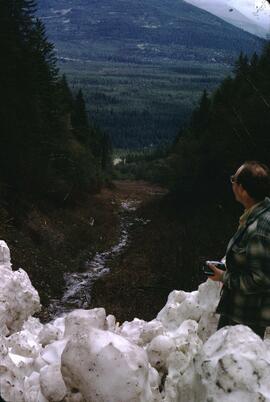
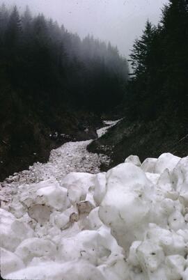
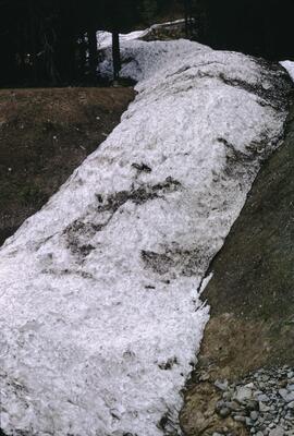
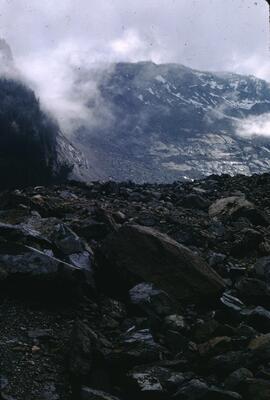
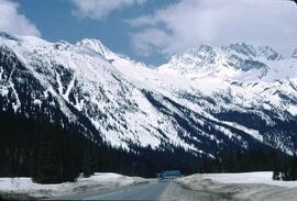
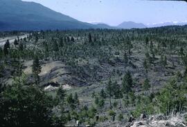
Photograph depicts the rockslide that occurred three years previous, which resulted in four fatalities and several kilometres of the Hope-Princeton Highway (Highway 3) impacted.
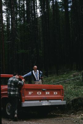
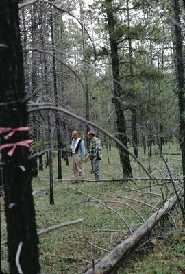
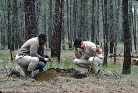
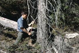
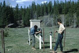
Photograph depicts Neville Gough (at left) and Gavin Young (at right) examining soil during soil survey in Glenemma.
This fonds consists of the administrative and business papers of Mr. Adam Zimmerman during his tenure as a senior level executive with Noranda Inc., Noranda Mines Ltd, and Macmillan Bloedel Ltd., particularly in Ontario, Quebec, and British Columbia with the majority of these records relating to the senior level operations of these companies. It includes textual records relate to the creation and development of Northwood Pulp & Timber Ltd. in Prince George including all aspects of its regional operations throughout Northcentral BC). The fonds also includes records related to Noranda Inc.’s successful and unsuccessful attempts at business acquisitions in both forestry and mining operations internationally, particularly in Mexico, Brazil, the Netherlands and Tasmania.
The fonds also contains textual records generated by Zimmerman in his directorship and chairman positions on various forest industry association boards. It includes his notes, general correspondence, minutes, as well as booklets and brochures notably from the Canadian Forest Industries Council, the Canadian Pulp and Paper Association, the Forest Sector Advisory Council and other similar industry associations. Much of this material relates to the issue of the softwood lumber dispute and Zimmerman’s involvement in the lobbying efforts regarding Canada/U.S. Free Trade issues and includes bound reports, agreements, and publications as well as correspondence to/from Zimmerman and his handwritten notes within the files. The fonds also includes general business information (annual reports, brochures, publications) pertaining to other Canadian forestry and mining companies.
The fonds also contains Adam Zimmerman’s speeches and correspondence related to his involvement in numerous charities, foundations and corporate fundraising initiatives with numerous Canadian educational institutions, non-profit societies and federal election campaigns.
Business records of Noranda Inc. are extensive and include administrative, business, personnel, financial and legal records. Record types include correspondence, memos, handwritten notes, business proposals and meeting notes, merger proposals and notes, prospectuses, board meeting agendas and minutes, annual reports, financial statements, resumes, portfolios, printed brochures, publications and other ephemera related to the business operations of Noranda Inc., Noranda Mines and MacMillan Bloedel [during Noranda Mines take-over of MB] all during Zimmerman’s tenure as Chair and/or CEO. The fonds includes correspondence, financial reports, legal testimony transcripts resulting from the Gaspe Copper Mine labour strike in Quebec in 1957 and the subsequent Gaspe Law Suit of 1960 between Noranda and the United Steel Workers of America. The fonds also includes extensive correspondence between Zimmerman and various levels of government regarding the lobbying of government on forestry policy and correspondence with various environmental lobbying groups in the 1980s including correspondence with well-known environmentalist David Suzuki.
Subjects include all facets of business operations pertaining to Canadian forestry and mining sectors including labour issues, environmental impacts of industrial developments, industry and effects on the Canadian economy, the free trade debate, the softwood lumber issue etc.
The fonds provides a detailed archival record of Mr. Zimmerman’s contribution to the building of Noranda Forest in Canada, Northwood Pulp & Timber in BC and Noranda Inc. as a resource-based conglomerate. Many records were utilized by Mr. Zimmerman in the writing of his book, Who’s in Charge Here, Anyway?: reflections from a life in business, (Don Mills, Ontario: Stoddart; Distributed in Canada by General Distribution Services), 1997.
Sin títuloThis scrapbook, entitled "My Two Year Term on the Teen Town Council", was created by Howard Foot to document his involvement in the Prince George Teen Town Council. Howard Foot was the elected "mayor" of the Prince George Teen Town Council for the 1958-1959 term. The British Columbia centennial year was 1958; Teen Town was involved in centennial event planning. The scrapbook includes newspaper clippings from the Prince George Citizen relating to Prince George Teen Town events and the Teen Town Council. These clippings include mention of other Teen Town Council members, including Brian Fawcett who later became a nationally-recognized Canadian writer.
Original photographic prints and reproduced photographs relating to Prince George Teen Town are pasted in and interleaved into the scrapbook. Also interleaved into the scrapbook is a 26 February 1959 issue of the Prince George Echo newspaper. The newspaper issue has a feature article about a Prince George custom car show organized by Howard Foot.
File consists of records relating to the Agricultural Land Commission and Gary Runka's consulting work for the ALC in 1993. Includes a G.G. Runka Land Sense Ltd. invoice to the ALC for his services for the 1993 ALC symposium and the "preparation of a framework approach to land suitability for agriculture mapping for a range of crops within the Okanagan Valley, as follow up to the land suitability for tree fruits initiative of the Okanagan Valley Tree Fruit Authority", as well as a copy of the government contract for the latter. Also includes correspondence, news clippings, data, and background information.
Item is a 1997 report by Bernard McKay entitled Valleau River Caribou Study that includes interviews with area residents about caribou.
Dr. Robin Fisher was a member of the Northern Interior Regional Advisory Committee for treaty process in British Columbia. File consists of meeting minutes, correspondence, documents for discussion, agendas, and notes. Includes:
- Provincial response to Ts'kw'aylaxw First Nations Position Paper
- Yekooche First Nation Governance: A Discussion Paper
- Cheslatta Treaty Discussions Community Profile: Carrier Nation Traditional Territory
- Carrier songs adapted to Lheidli T'enneh dialect
Collection consists of the original typescript for the "Bacon, Beans 'n Brave Hearts" book publication written by Russell R. Walker. "Bacon, Beans 'n Brave Hearts" is a history of the early years of settlement in Fort George and Prince George. The book was published in 1972 by Lillooet Publishers Ltd. (Lillooet, B.C.) and printed by the Alaska Highway News (Fort St. John, B.C.). The manuscript is accompanied by original photographs, most of which were taken by the author, Russell Walker.
Sin títuloFile consists of original photographs, most of which were taken by Russell Walker that accompanied the original typescript for the "Bacon, Beans 'n Brave Hearts".
File consists of the original typescript for the "Bacon, Beans 'n Brave Hearts" book publication written by Russell R. Walker. "Bacon, Beans 'n Brave Hearts" is a history of the early years of settlement in Fort George and Prince George. The book was published in 1972 by Lillooet Publishers Ltd. (Lillooet, B.C.) and printed by the Alaska Highway News (Fort St. John, B.C.).
Collection consists of photographs of restoration work on Hagwilget Bridge near Hazelton performed by Buckland & Taylor Ltd., a structural engineering company. The photographs depict inspection work on the bridge, main cables, and other structural elements, as well as general photographs of the bridge from various angles including detailed imagery of the structural components of the bridge. The photographs also show rehabilitation work underway on the bridge and employees at work.
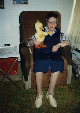
Sin títuloPhotograph depicts Norah Doherty, seated and holding a stuffed Big Bird toy, likely at her Prince George senior's residence. No annotation on photograph verso.
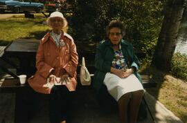
Photograph depicts Norah Doherty and companion on a picnic at West Lake near Prince George.
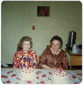
Photograph depicts Norah Doherty and another unknown woman celebrating at a table with birthday cakes in front of them. The photograph may have been taken at the senior's home where Norah Doherty resided. No annotation on photograph verso.
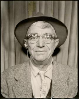
Annotation on photograph verso: "Uncle Irwin, 1959". Item is believed to be a passport photograph of Irwin Doherty.
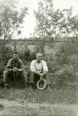
Annotation on photograph verso: "Uncle Irwin with the Hat, No Date". Photograph depicts Irwin Doherty (at right) and another unnamed man sitting in the brush in front of a fence.
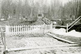
Annotation on photograph verso: "Auntie Lily's Home - Red Rock". "Auntie Lily" represents Norah Banbery Doherty, whose middle initial was "L". Photograph depicts a fenced yard with plank walkways, steps, a house and an outbuilding in the background. The fence has a nameplate reading "Glenora".
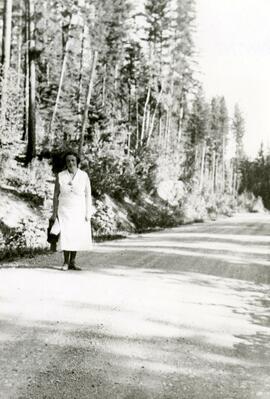
Annotation on photograph verso: "Auntie Lily - Red Rock, 1938". "Auntie Lily" represents Norah Banbery Doherty, whose middle initial was "L". Photograph depicts Norah Banbery Doherty walking along a dirt road.
