Industries

Elements area

Taxonomy

Code

Scope note(s)

  • Resource industries (eg. mining, forestry, fishing, etc.)
  • Resource industry cooperatives
  • Processing, packing and shipping industries
  • Construction, ship building
  • Salvage companies and operations
  • SEE ALSO: Agriculture; Business and Commerce; Transportation and Utilities

Source note(s)

  • MemoryBC Subject Groups

Display note(s)

    Hierarchical terms

    Industries

      Equivalent terms

      Industries

        Associated terms

        Industries

          26 Archival description results for Industries

          26 results directly related Exclude narrower terms
          Upper Fraser Mill
          2012.13.1.87.046 · Item · [between 1975 and 1995]
          Part of J. Kent Sedgwick fonds

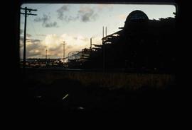
          Image depicts Upper Fraser mill yard with log deck and beehive burner in silhouette across railroad tracks. Located in Upper Fraser, B.C. Map coordinates 54°07'01.5"N 121°56'29.6"W

          Upper Fraser Mill
          2012.13.1.87.064 · Item · [between 1975 and 1995]
          Part of J. Kent Sedgwick fonds

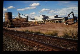
          Image depicts numerous log decks at the Upper Fraser sawmill. Map coordinates 54°07'10.8"N 121°56'51.7"W

          Upper Fraser Mill
          2012.13.1.87.062 · Item · [between 1975 and 1995]
          Part of J. Kent Sedgwick fonds

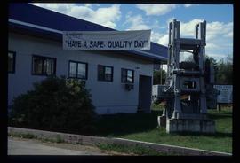
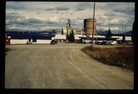
          Image depicts the entrance to the Upper Fraser mill yard in Upper Fraser, B.C. Map coordinates 54°07'10.8"N 121°56'51.7"W

          Upper Fraser Mill
          2012.13.1.87.063 · Item · [between 1975 and 1995]
          Part of J. Kent Sedgwick fonds

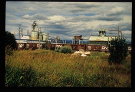
          Image depicts the Upper Fraser mill yard with a CN train in Upper Fraser, B.C. Map coordinates 54°07'10.8"N 121°56'51.7"W

          Upper Fraser Mill
          2012.13.1.87.061 · Item · [between 1975 and 1995]
          Part of J. Kent Sedgwick fonds

          Image depicts the entrance to the Upper Fraser mill yard in Upper Fraser, B.C. Map coordinates 54°07'10.8"N 121°56'51.7"W

          Upper Fraser Mill
          2012.13.1.87.066 · Item · [between 1975 and 1995]
          Part of J. Kent Sedgwick fonds

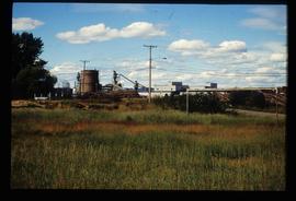
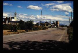
          Image depicts the Upper Fraser Road running through Upper Fraser, B.C. A newer style round burner is seen in the background. Map coordinates 54°07'05.7"N 121°56'38.9"W