Geographic Features

Elements area

Taxonomy

Code

Scope note(s)

  • Includes both natural and artificial features
  • Physical landscape, built landscape
  • Urban and industrial landscapes
  • Topography
  • Site plans
  • Boundaries, districts, reserves, parks, sanctuaries, towns, etc.
  • NOTE: Mainly but not exclusively pertaining to photographic and cartographic records
  • SEE ALSO: Land, Settlement and Immigration

Source note(s)

  • MemoryBC Subject Groups

Display note(s)

    Hierarchical terms

    Geographic Features

      Equivalent terms

      Geographic Features

        Associated terms

        Geographic Features

          9 Archival description results for Geographic Features

          9 results directly related Exclude narrower terms
          Dawson Creek
          2012.13.1.91.01 · Item · Sep. 1974
          Part of J. Kent Sedgwick fonds

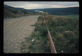
          Image depicts a road with a guardrail and open fields somewhere near Dawson Creek, B.C.

          Dunlevy Creek?
          2012.13.1.50.138 · Item · 2006
          Part of J. Kent Sedgwick fonds

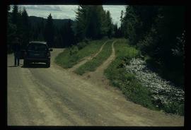
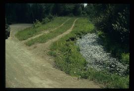
          Image depicts the Dunlevy Creek area somewhere near Dawson Creek, B.C. The slide is simply labelled "Dunlevy irrigation" for uncertain reasons.

          Dunlevy Creek?
          2012.13.1.50.137 · Item · 2006
          Part of J. Kent Sedgwick fonds

          Image depicts the Dunlevy Creek area somewhere near Dawson Creek, B.C. The slide is simply labelled "Dunlevy irrigation" for uncertain reasons.

          Geographic Features
          2006.20.11 · File · [ca. 1890 - 1940]
          Part of Northern BC Archives Historical Photograph Collection

          Photographs within this file document natural and artificial features across the landscape of Northern British Columbia. This landscape also includes the physical, built, urban and industrial landscapes; topography; site plans; boundaries, districts, reserves, parks, sanctuaries, towns, villages and cities, etc.