2020.08.78
·
Item
·
[between 1913 and 1923]
Part of Pacific Great Eastern Railway Region Photograph Collection
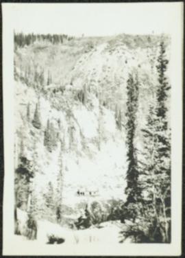
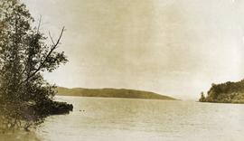
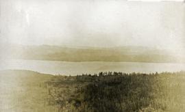
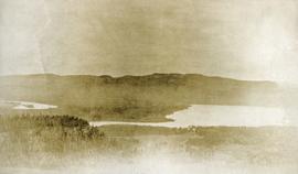
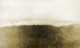
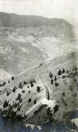
Photograph depicts a view of a train crossing the Sallus Creek wooden trestle along the Pacific Great Eastern Railway line near Lillooet, Fountain, and Pavilion. The angle of the photograph is looking north towards the Fraser River.