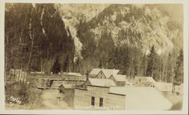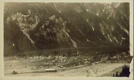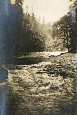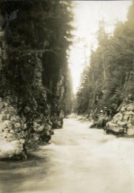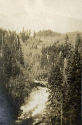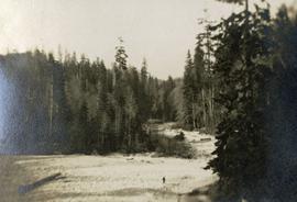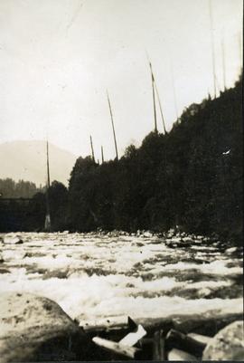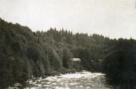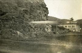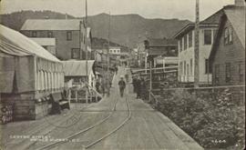
2011.13.39
·
Item
·
[ca. 1910-1930]
Part of Parker Photograph Collection
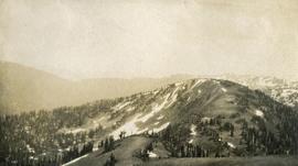
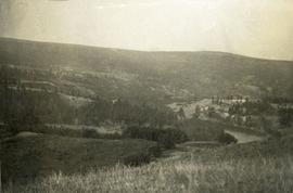
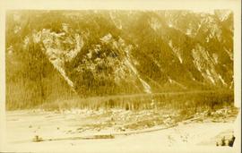
Wide angle photograph of a forested mountain. The town of Stewart, BC is visible at the mountain's foot.