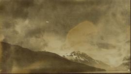
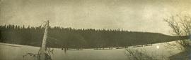
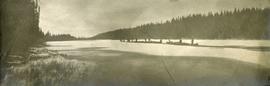
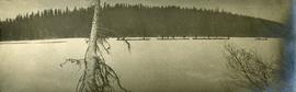
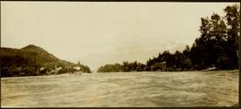
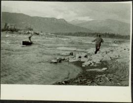
2012.13.1.98.28
·
Item
·
1999
Part of J. Kent Sedgwick fonds
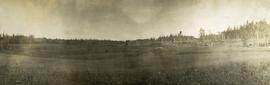
Image depicts what appears to be a footbridge at an uncertain location.