2012.13.2.14.01
·
File
·
1978-2005
Part of J. Kent Sedgwick fonds
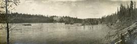
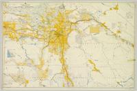
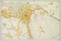
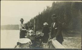
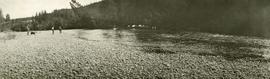
File consists of clippings, notes, and reproductions relating to Fort George Park (renamed in 2015 to Lheidli T'enneh Memorial Park). Includes: "Fort George Park" typescript document; "Plan No17962" reproduction of downtown map and plan no 17962 (1969); "Fort George Park" handwritten notes by Kent Sedgwick; and "Park No. JK 85 Fort George Park" map depicting plans for Fort George Park (28 June 1978).