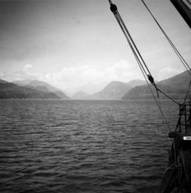
2013.6.36.1.003.015
·
Item
·
Aug. 1964
Part of David Davies Railway Collection
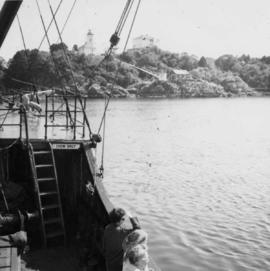
Photograph depicts a view of Friendly Cove, near Nootka, on the west coast of Vancouver Island. View is taken from the M.V. Uchuck III.