Geographic Features

Elements area

Taxonomy

Code

Scope note(s)

  • Includes both natural and artificial features

  • Physical landscape, built landscape

  • Urban and industrial landscapes

  • Topography

  • Site plans

  • Boundaries, districts, reserves, parks, sanctuaries, towns, etc.

  • NOTE: Mainly but not exclusively pertaining to photographic and cartographic records

  • SEE ALSO: Land, Settlement and Immigration

Source note(s)

  • MemoryBC Subject Groups

Display note(s)

    Hierarchical terms

    Geographic Features

      Equivalent terms

      Geographic Features

        Associated terms

        Geographic Features

          4130 Archival description results for Geographic Features

          4130 results directly related Exclude narrower terms
          Large Group Near a Bridge
          2012.13.1.91.34 · Item · 1979
          Part of J. Kent Sedgwick fonds

          Image depicts a large group of people sitting and eating near a bridge at an uncertain location, though possibly near Hudson's Hope, B.C.

          2009.7.1.249 · Item · ca. 1880-1920
          Part of Archdeacon W. H. Collison fonds

          Large crowd is gathered around main building in a harbor. Many boats visible in foreground. Smoke from tugboat partially obscures the scene. Annotation on recto reads: "Prince Rupert BC. Photo by MCrae Bros."

          Lanezi Lake - Cirque
          2012.13.1.55.25 · Item · 1971
          Part of J. Kent Sedgwick fonds

          Image depicts a cirque in the mountains surrounding Lanezi Lake. Two individuals can also be seen canoeing on the lake.

          Landslides
          2000.1.1.3.06 · File · 1979 - 1989
          Part of Cassiar Asbestos Corporation Ltd. fonds

          File contains images depicting various landslides near Cassiar BC. Set of 20 photographs (with 9 corresponding negative strips) date stamped June 1987 depict landslide near creek and dirt road with a Cassiar company truck. Set of 5 black and white photographs found in envelope marked "D. Stewart" are likely from 1988-1989 and depict a rockslide on the south western side of the pit mine, near the tramline. Album entitled “6200 DUMP SLIDE / SPRING, 1979” contains 34 photographs depicting aerial shots of a massive rockslide on the eastern slope of McDame Mountain, originating from the mine waste dump. Several images from album show greenish water pooling in the toe of the slide.

          Landslide?
          2012.13.1.59.15 · Item · July 1980
          Part of J. Kent Sedgwick fonds

          Image depicts what is possibly the remaining traces of a small land or rock slide; located somewhere near Bralorne, B.C.

          Landscape - Fraser River
          2012.13.1.65.38 · Item · June 1975
          Part of J. Kent Sedgwick fonds

          Image depicts an aerial view of the land near the Fraser River. The Fraser River is barely visible on the right side of the image.

          Landscape
          2012.13.1.65.48 · Item · [1976?]
          Part of J. Kent Sedgwick fonds

          Image depicts a view of a mountainous landscape at an uncertain location.

          Landscape
          2012.13.1.65.53 · Item · [1976?]
          Part of J. Kent Sedgwick fonds

          Image depicts a view of the landscape in an uncertain location, though possibly somewhere near the Fraser River.

          Landscape
          2012.13.1.65.56 · Item · [1976?]
          Part of J. Kent Sedgwick fonds

          Image depicts a view of the landscape in an uncertain location, though possibly somewhere near the Fraser River.

          Landscape
          2012.13.1.65.21 · Item · May 1975
          Part of J. Kent Sedgwick fonds

          Image depicts a view of the landscape of the Chilcotin Wildlife Area.

          Landscape
          2012.13.1.65.22 · Item · May 1975
          Part of J. Kent Sedgwick fonds

          Image depicts a view of the landscape of the Chilcotin Wildlife Area.

          Landscape
          2012.13.1.65.18 · Item · May 1975
          Part of J. Kent Sedgwick fonds

          Image depicts a view of the landscape of the Chilcotin Wildlife Area.

          Landscape
          2012.13.1.65.23 · Item · May 1975
          Part of J. Kent Sedgwick fonds

          Image depicts a view of the landscape of the Chilcotin Wildlife Area.

          Land survey information
          2012.13.2.02.25 · File · 1997-2006
          Part of J. Kent Sedgwick fonds

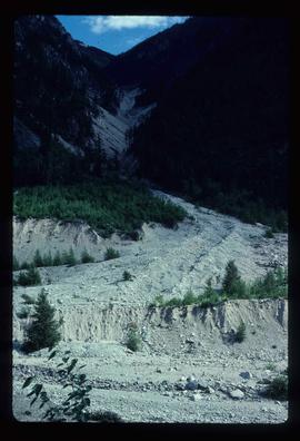
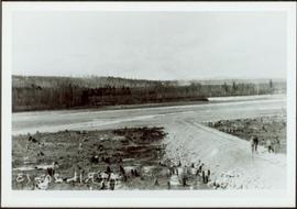
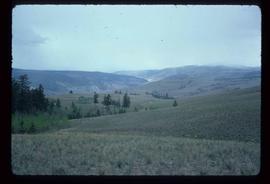
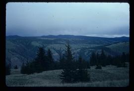
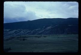
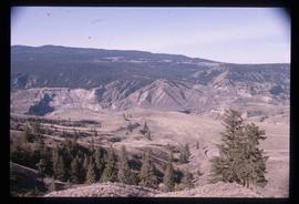
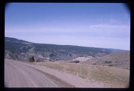
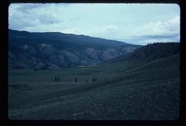
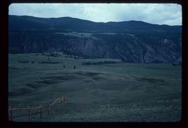
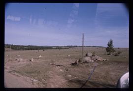
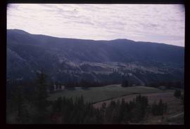
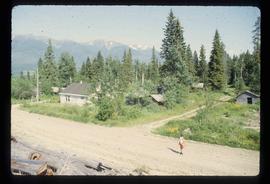
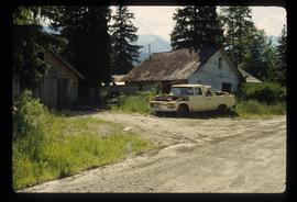
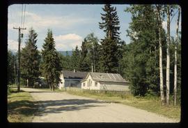
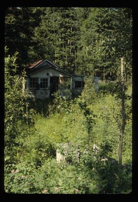
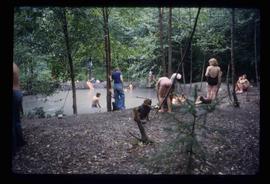
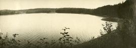
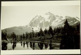
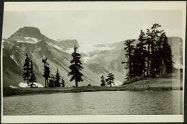
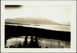
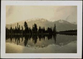
          File consists of notes, clippings, and reproductions relating to contemporary and historical land surveying in British Columbia, includes material on Hunter Joseph who surveyed Quesnel to Salmon River in 1874; F.P. Burden and the surveying of the Cariboo District; and Mr. J.D. Pemberton, the colonial surveyor in 1851. File primarily consists of Kent Sedgwick's handwritten notes on land surveying in British Columbia and printed search results for the College of New Caledonia and BC Archives on land surveying. Includes: "Owning land: what you should know" pamphlet published by The Canadian Council of Land Surveyors (2004) and "Survey Systems in BC" email chain between Kent Sedgwick and John Whittaker, a B.C. Land Surveyor, discussing past land survey systems and surveyed areas in British Columbia (6 Oct. 2009).

          Lakelse Hot Spring
          2012.13.1.67.05 · Item · 1979
          Part of J. Kent Sedgwick fonds

          Image depicts a large group of people enjoying the Mount Layton Hot springs in the Lakelse Lake Provincial Park north of Kitimat, B.C.

          Lake below Mountains
          2009.5.2.82 · Item · [3 August 1936?]
          Part of Taylor-Baxter Family Photograph Collection

          Photograph depicts a large lake, trees in foreground, mountains in background. Area speculated to be near Atlin, B.C. Handwritten annotations on recto of photograph: "36", "Aug 3 on way to A '[Homell?]'."

          2006.20.11.18 · Item · June 1923
          Part of Northern BC Archives Historical Photograph Collection

          Photograph depicts a glassy body of water with trees on opposite bank crossing mid ground. Mountains visible in distant background. A clear reflection of the trees and mountains is mirrored in the water. Handwritten photo caption below photograph reads: "The Whistlers across Lake Beau Vert (7. AM.)"

          Lake Beauvert
          2006.20.11.20 · Item · June 1923
          Part of Northern BC Archives Historical Photograph Collection

          Photograph depicts a body of water with trees on opposite bank crossing mid ground. Trees and rocks in foreground, hills visible in distant background. Handwritten photo caption below photograph reads: "Lake Beau Vert."