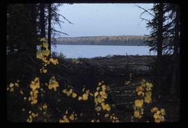
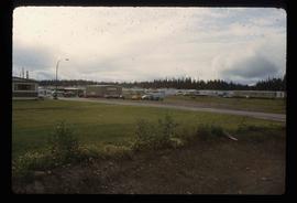
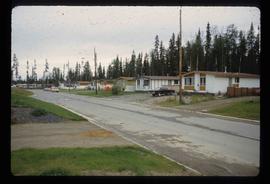
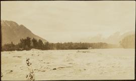
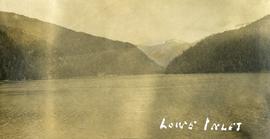
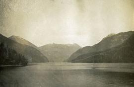
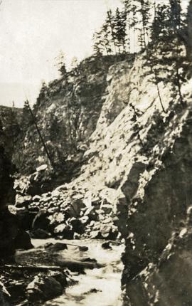
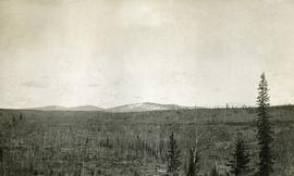
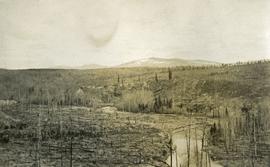
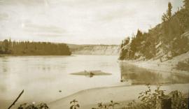
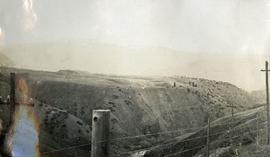
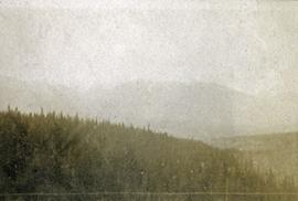
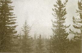
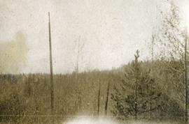
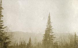
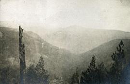
2012.13.1.070
·
Subseries
·
[between 1973 and 2000]
Part of J. Kent Sedgwick fonds
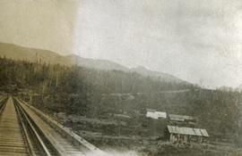
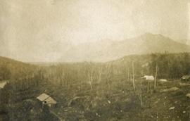
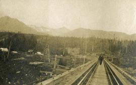
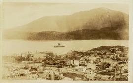
File contains slides depicting places in and around Mackenzie Town.