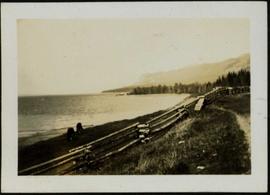
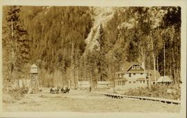
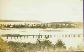
2012.13.1.69.32
·
Item
·
[1981?]
Part of J. Kent Sedgwick fonds
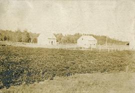
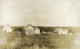
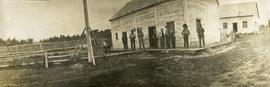
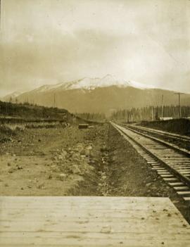
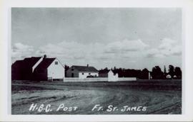
Image depicts the town of Horsefly, B.C.