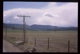
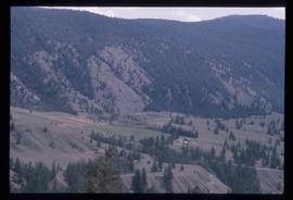
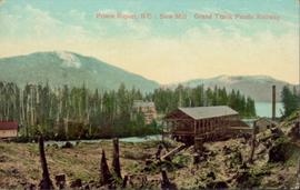
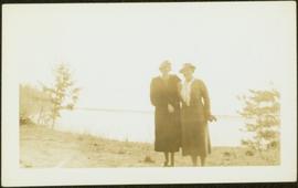
2012.13.1.081
·
Subseries
·
1997
Part of J. Kent Sedgwick fonds
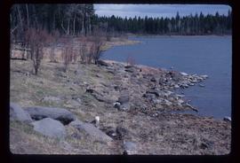
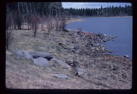
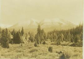
File contains slides depicting Sechelt, B.C.