Geographic Features

Elements area

Taxonomy

Code

Scope note(s)

  • Includes both natural and artificial features
  • Physical landscape, built landscape
  • Urban and industrial landscapes
  • Topography
  • Site plans
  • Boundaries, districts, reserves, parks, sanctuaries, towns, etc.
  • NOTE: Mainly but not exclusively pertaining to photographic and cartographic records
  • SEE ALSO: Land, Settlement and Immigration

Source note(s)

  • MemoryBC Subject Groups

Display note(s)

    Hierarchical terms

    Geographic Features

      Equivalent terms

      Geographic Features

        Associated terms

        Geographic Features

          4133 Archival description results for Geographic Features

          2012.13.1.87.104 · Item · [between 1975 and 1995]
          Part of J. Kent Sedgwick fonds

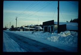
          Image depicts a snowy street in Willow River, B.C. There are several buildings, one is an Esso station and another is labelled as "Red & White Food Store."

          Willow River Houses
          2012.13.1.87.105 · Item · [between 1975 and 1995]
          Part of J. Kent Sedgwick fonds

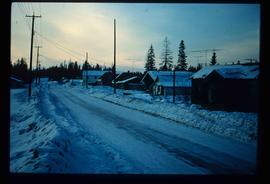
          Image depicts a snowy street in Willow River, B.C. with a row of houses. The white building on the end with the Pepsi sign is the Willow River General Store. Map coordinates 54°04'18.3"N 122°28'14.7"W

          Willow River - Playground
          2012.13.1.89.139 · Item · 1999
          Part of J. Kent Sedgwick fonds

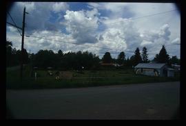
          Image depicts a playground in Willow River, B.C. The slide labels it as being a "former hotel site." Map coordinates 54°04'23.7"N 122°28'26.9"W

          Willow River - Lloyd Edwards
          2012.13.1.89.131 · Item · 1985
          Part of J. Kent Sedgwick fonds

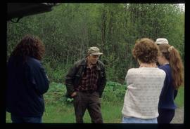
          Image depicts a group of people somewhere in Willow River, B.C. The man in the plaid shirt and beige cap is identified on the slide as being Lloyd Edwards.

          2012.13.1.50.115 · Item · 1980
          Part of J. Kent Sedgwick fonds

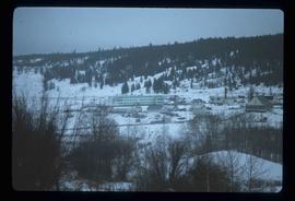
          Image depicts the St. Joseph's Residential School in Williams Lake, B.C.

          According to the National Centre for Truth and Reconciliation Archives (https://archives.nctr.ca/Cariboo-Residential-School) :

          "Cariboo (Williams Lake) Indian Residential School (IRS) was located southwest of Williams Lake on highway #97 approximately halfway between Quesnel and Kamloops in the BC interior. The IRS operated from 1891 - 1981 (90 years) and closed on June 30, 1981.

          Other names identifying the residential school include Williams Lake Industrial School and St. Joseph’s Industrial School from 1891 - 1920; Cariboo Industrial School and Cariboo Indian Industrial School from 1920 - 1927; Cariboo Residential School and Cariboo Indian Residential School from 1923 - 1981; St. Joseph’s Mission School (1929 - 1981), St. Joseph’s Indian Residential School (1932 and 1935), and St. Joseph’s Residential School (1963 and 1969); Cariboo Student Residence and Cariboo Indian Student Residence from 1967 - 1981. The school was also frequently referred to as the Indian School at 150 Mile House because of its location.

          The Government of Canada was responsible for funding the school, which was managed and operated by the Roman Catholic Church from July 1891 - March 31, 1969. From April 1, 1969 - June 1981, the federal government managed and operated the IRS. In 1962, an agreement was signed between Her Majesty the Queen in Right of Canada represented by the Minister of Citizenship and Immigration and Indianescom (Oblate Indian and Eskimo Commission) for the management and operation of the Cariboo IRS.

          No information regarding which grades were taught at the IRS exists.

          Students were from the following bands: Alexandria, Alexis Creek, Alkali Lake, Anaham, Anderson Lake, Ashcroft, Bonaparte, Bridge River, Canim Lake, Canoe Creek, Clinton, Coldwater, Cowichan, Dog Creek, Euchinico, Fountain, High Bar, Kamloops, Kluskus Lake (Kluxkux Lake), Kuklinko, Lake Babine, Lillooet, Little Shuswap, Moricetown, Mount Currie, Natzoo, Nazko, Nemiah Valley, North Thompson, Pavillion, Pemberton, Quesnel, Redstone, Riske Creek, Seton Lake, Skwah, Soda Creek, Squamish, Stone (Stoney), Taodistan, Toosey, Ulkatcho (Ulgatcho), and Williams Lake. "was opened was opened by Roman Catholic missionaries in 1891. In 1902 nine boys ran away from the school, one of them dying of exposure. In 1920, nine boys ate poisonous water hemlock in what parents believed to be a response to discipline at the school. One of these boys died. The school closed in 1981. In the 1980s and 1990s two former staff members pled guilty to charges of sexually abusing students in the 1950s and 1960s. In 1998, a former principal apologized to a former student and school employee who had charged him with a series of sex offences. "
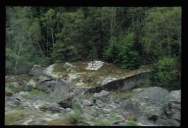
          2009.6.1.512 · Item · 1990
          Part of The Honourable Iona Campagnolo fonds

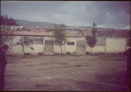
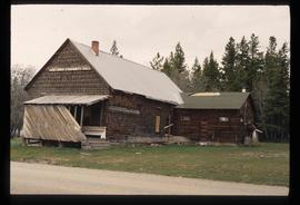
          Rock pile, unknown building, and hills can be seen in background.

          Photograph is one of 11 images taken during a World Health Organization (WHO) trip, Human Rights of Women and Children, Peru, 1990. Possibly affiliated with World Council of Churches, International Ecumenical Delegation to Lima, Peru, 14-25 October 1990. See also items 2009.6.1.505 - 2009.6.1.515.

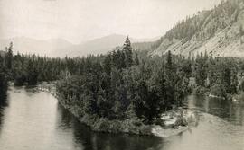
          2009.6.1.511 · Item · 1990
          Part of The Honourable Iona Campagnolo fonds

          Trees in foreground, hills in background. Unidentified man stands on far left.

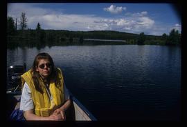
          Photograph is one of 11 images taken during a World Health Organization (WHO) trip, Human Rights of Women and Children, Peru, 1990. Possibly affiliated with World Council of Churches, International Ecumenical Delegation to Lima, Peru, 14-25 October 1990. See also items 2009.6.1.505 - 2009.6.1.515.

          White Pass Train
          2012.13.1.100 · Subseries · 1999
          Part of J. Kent Sedgwick fonds

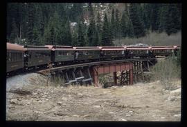
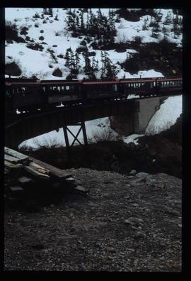
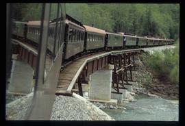
          File contains slides depicting locations along the White Pass railway through Alaska, British Columbia, and the Yukon Territories.

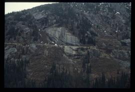
          White Pass - Mountain Side
          2012.13.1.100.12 · Item · 1999
          Part of J. Kent Sedgwick fonds

          Image depicts a mountain side somewhere along the White Pass railway. The thin ridge along the mountain side is possibly either a highway or part of the railway.

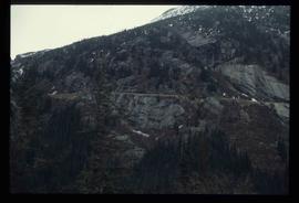
          White Pass - Mountain Side
          2012.13.1.100.11 · Item · 1999
          Part of J. Kent Sedgwick fonds

          Image depicts a mountain side somewhere along the White Pass railway. The thin ridge along the mountain side is possibly either a highway or part of the railway.

          Wells Hospital building
          2012.13.1.37.23 · Item · 1978
          Part of J. Kent Sedgwick fonds

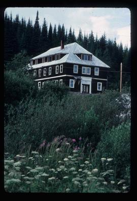
          Photograph depicts the old hospital building in Wells. At the time the photo was taken, 1978, it was being used as an apartment building, and that is still its current use.