Geographic Features

Zone des éléments

Référentiel

Code

Note(s) sur la portée et contenu

  • Includes both natural and artificial features
  • Physical landscape, built landscape
  • Urban and industrial landscapes
  • Topography
  • Site plans
  • Boundaries, districts, reserves, parks, sanctuaries, towns, etc.
  • NOTE: Mainly but not exclusively pertaining to photographic and cartographic records
  • SEE ALSO: Land, Settlement and Immigration

Note(s) sur la source

  • MemoryBC Subject Groups
Note(s) d'affichage

    Termes hiérarchiques

    Geographic Features

      Termes équivalents

      Geographic Features

        Termes associés

        Geographic Features

          321 Archival description résultats pour Geographic Features

          321 résultats directement liés Exclure les termes spécifiques
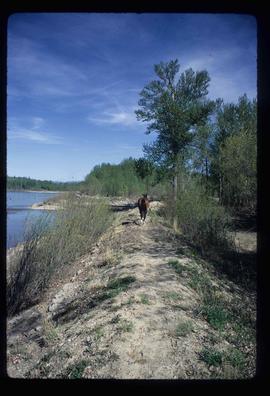
          A Horse
          2012.13.1.23.02 · Pièce · 1973
          Fait partie de J. Kent Sedgwick fonds

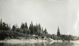
          Image depicts a horse on Cottonwood Island.

          2006.20.9.28 · Pièce · ca. 1954
          Fait partie de Northern BC Archives Historical Photograph Collection

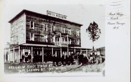
          Postcard featuring a photograph of a photograph of the arrival of the first stage coach at the Hotel Northern in South Fort George, BC on 19 October 1911. Handwritten annotation on recto of photograph reads: “Arrival of first stage at So. Ft. George B.C. Oct. 19, 1911. 28” Printed caption on the recto of the postcard reads: “First stage coach Prince George, B.C.” Handwritten annotation in pen on verso of postcard reads: “Mrs. C. Morris, Box 925, Penticton, BC. Thurs. 6pm, Dear Mother. Arr. Safely, good trip (bad pen!) Lovely weather. Hope all are well. Bia (?) Mary & Ed”

          Bare Logs
          2012.13.1.122.17 · Pièce · [1979?]
          Fait partie de J. Kent Sedgwick fonds

          Image depicts numerous logs that have been stripped of their bark at a saw mill in Prince George, B.C.

          Blackburn Schools
          2012.13.1.3.128 · Pièce · 13 Aug. 1989
          Fait partie de J. Kent Sedgwick fonds

          Image depicts a view of Blackburn Schools, possibly taken from Tabor Mountain.

          Bob Harkins interviews Ted Williams
          2002.12.29.1 · Pièce · c.1970-c.1989
          Fait partie de Bob Harkins fonds

          Item consists of transcript and taped summary of recorded interview with long-time resident Ted Williams who discusses his father' Chuck Williams early years in Prince George c.1920s. He also discusses river transportation, steam boats on the Fraser River and river scowing adventures on the Grand Canyon (BC) and fatalities that occurred.

          Sans titre
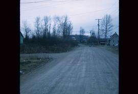
          Bridge
          2012.13.1.7.163 · Pièce · June 1986
          Fait partie de J. Kent Sedgwick fonds

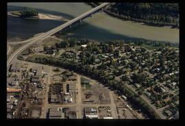
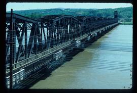
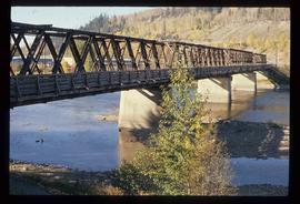
          Image depicts a bridge in Prince George, B.C.

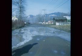
          Bridge
          2012.13.1.7.164 · Pièce · 12 Oct. 1989
          Fait partie de J. Kent Sedgwick fonds

          Image depicts a bridge in Prince George, B.C.

          Bridge
          2012.13.1.7.165 · Pièce · 12 Oct. 1989
          Fait partie de J. Kent Sedgwick fonds

          Image depicts a bridge in Prince George, B.C.

          2011.3.2.20 · Pièce · [ca. 1910-1924]
          Fait partie de North Coast & Central BC Postcard Collection

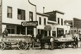
          Street view photograph of a commercial section in downtown Prince George with several "Campbell's" delivery carts parked along the road. Visible establishments include "Campbell's All Cash Store" and "Club Cafe." Handwritten annotation in blue ballpoint pen on recto reads: "Howdy from Prince George! Going easy with all these kids- good to see Kathee. Snow here. Have fun at the sports show & don't over do it. Thinking of you guys, love Judy and Vic. P.S. Can't wait to go home to somewhere peaceful and quiet. 2-27-83." Postcard is addressed to: "Mr. & Mrs. Hauffer 8429-221 PL. Sn. Edmonds, WA. U.S. 98020." Verso is affixed with four Canadian 8-cent stamps.

          Canadian National Railway Yards
          2012.13.1.122.14 · Pièce · 1979
          Fait partie de J. Kent Sedgwick fonds

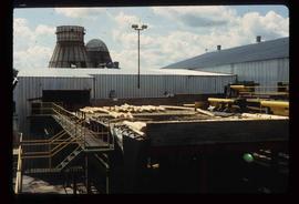
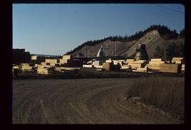
          Image depicts numerous piles of wood planks at the Canadian National Railway Yards in Prince George, B.C. The cutbanks are seen in the background.

          Carney Hill
          2012.13.1.124.08 · Pièce · 1973
          Fait partie de J. Kent Sedgwick fonds

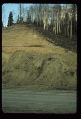
          Image depicts a small slope on Carney Hill in Prince George, B.C.

          Cars along Third Ave., Prince George, BC
          2011.12.03 · Pièce · ca. 1950
          Fait partie de Giscome, BC Historical Photograph collection

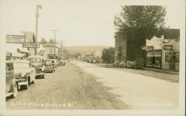
          Photo depicts a street perspective cars lining Third Avenue, in Prince George, BC, ca. 1950. Annotation recto reads: "3rd Ave Prince George BC Photo J. Wrathall." Handwritten annotation in pen on verso of postcard reads: “This is the equivalent of our Granville Street. Both theatres are located here as well as Hudson Bay Co., banks, library & stores.”

          Central Avenue, Fort George, BC
          2011.3.2.09 · Pièce · 1913
          Fait partie de North Coast & Central BC Postcard Collection

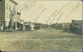
          Printed annotation on recto reads: “Central Avenue Fort George B.C. Copyright Canada June 25th 1913”. Handwritten annotation in ink on recto reads: “Hotel Fort George; Pool room; Men’s furnishing; General store; Bank Vancouver; Telephone office; Temperance House; Trust-company; Grand stand & fair grounds; Hospital; Ware house and general store.” Cancelled 1 cent Canadian stamp on verso is dated: "Fort George BC Jul 14 13". Handwritten message in ink on verso is addressed to Mr. Chas H Wilson 94 Gould St Toronto: "Fort George. B.C> Box 65, July 13/ 13. Dear Father, This is a 'bird's eye view' of our main street - ha! ha! some class alright. We live right behind the bakery lunch room on the right hand side of the picture, on 1st avenue, some people eh? Will be moving to Cassiar Ave soon. How are all the folks. Mae is writing. Peace. M."

          City of Prince George
          2012.13.2.01.03.3 · Pièce · [after 1970]
          Fait partie de J. Kent Sedgwick fonds

          Map depicts the city of Prince George with annotations of the boundary expansions from 1915 to 1964.

          2023.5.1.28 · Pièce · 1 Nov. 1993
          Fait partie de UNBC School of Planning and Sustainability fonds

          This map is part of Schedule B of the 1993 Official Community Plan, Bylaw No. 5909 for the City of Prince George. This particular map depicts the central area of the City of Prince George, including the Bowl area, the VLA, the Crescents, South Fort George, Heritage, and Peden Hill.

          2023.5.1.29 · Pièce · 1 Nov. 1993
          Fait partie de UNBC School of Planning and Sustainability fonds

          This map is part of Schedule B of the 1993 Official Community Plan, Bylaw No. 5909 for the City of Prince George. This particular map depicts the northeast area of the City of Prince George, including the industrial areas on Prince George Pulpmill Road and Northwood Pulpmill Road along the Fraser River.