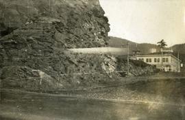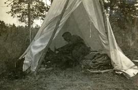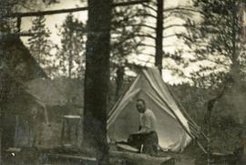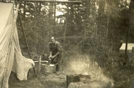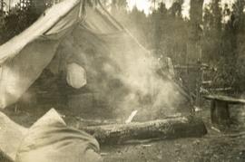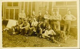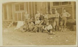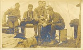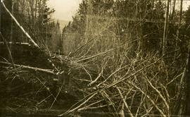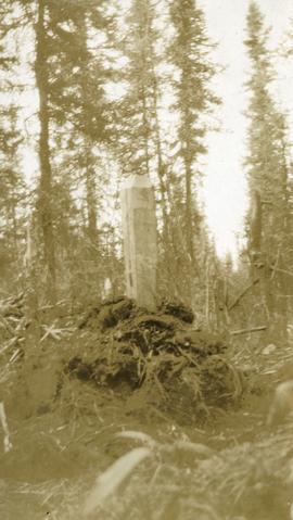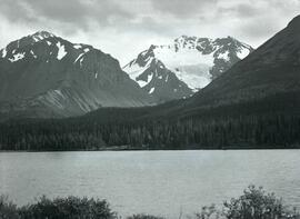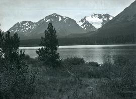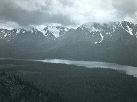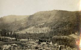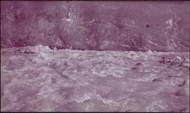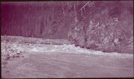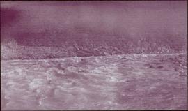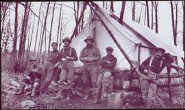
2014.10.1.475
·
Item
·
[ca. 1920]
Part of Arthur Holland Land Surveying Collection
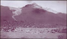
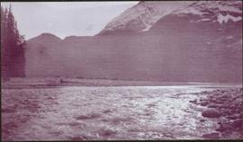
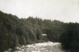
Photograph depicts a stream, forest and buildings. Location is not named.