Environment

Elements area

Taxonomy

Code

Scope note(s)

  • Includes: environmental issues; nature, wilderness and scenery; climate and weather; environmentalists; environmental organizations and businesses; parks and natural areas; wildlife management; habitat and species protection/recovery; conservation activities.

Source note(s)

  • MemoryBC Subject Groups

Display note(s)

    Hierarchical terms

    Environment

      Equivalent terms

      Environment

        Associated terms

        Environment

          4525 Archival description results for Environment

          4525 results directly related Exclude narrower terms
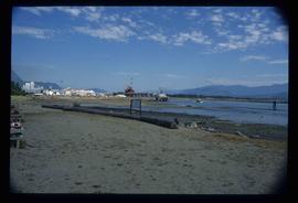
          Hospital Beach?
          2012.13.1.84.43 · Item · 1994
          Part of J. Kent Sedgwick fonds

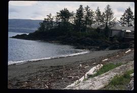
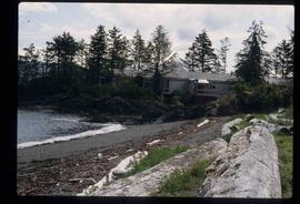
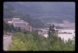
          Image depicts what is possibly Hospital Beach in Kitimat, B.C. The facility in the background is possibly the Alcan smelter.

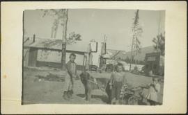
          2009.5.3.73 · Item · 1912
          Part of Taylor-Baxter Family Photograph Collection

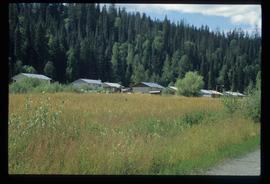
          Photograph depicts three small children (Henry, Charlie and Mary) standing at Sand Creek settlement. A dog stands beside them pulling a small wagon of firewood. Tent and wood buildings in background, including a cafe on far right. Hillside can be seen in distance. Handwritten annotation on recto of photograph reads: "Houghtaling Sand Creek Bourchier 1912".

          2009.5.3.74 · Item · 1912
          Part of Taylor-Baxter Family Photograph Collection

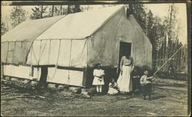
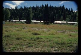
          Photograph depicts Mrs. Houghtaling standing with four small children near doorway of tent building (Gertrude, Mary, Henry, and Charlie). This photograph is believed to have been taken at Sand Creek, BC. Forest trees in background. Handwritten annotation on recto of photograph reads: "Tete Jaune 1912".

          House 40
          2012.13.1.84.46 · Item · 1994
          Part of J. Kent Sedgwick fonds

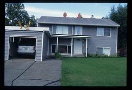
          Image depicts a house with a vehicle in a garage and the number 40 on it; location is uncertain.

          House in Giscome
          2012.13.1.87.159 · Item · [between 1975 and 1995]
          Part of J. Kent Sedgwick fonds

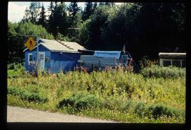
          Image depicts a house in Giscome, B.C. Map coordinates 54°04'17.6"N 122°22'06.1"W

          2003.4.3.100 · File · 1993
          Part of Kemano Completion Project Dispute Collection

          File consists of copies of House of Commons debates for May 28, 1993. Brian Gardiner, MP for Prince George-Bulkley Valley made a motion "That this House condemns the government for its failure to protect Canadian interests regarding the interbasin transfer of water as exemplified by the Kemano project, the North Thompson River, and both the Columbia River Treaty and the North American free trade agreement."

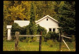
          House with Ivy
          2012.13.1.87.116 · Item · [between 1970 and 1990]
          Part of J. Kent Sedgwick fonds

          Image depicts a house with ivy growing over it. The location is uncertain.

          Houses
          2012.13.1.6.151 · Item · Oct. 1980
          Part of J. Kent Sedgwick fonds

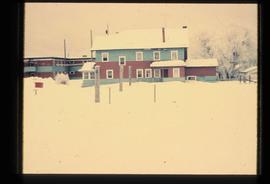
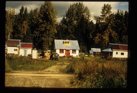
          Image depicts a number of houses at an uncertain location, possibly Williams Lake, B.C.

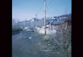
          Houses
          2012.13.1.22.12 · Item · 1970
          Part of J. Kent Sedgwick fonds

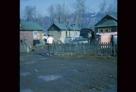
          Image depicts numerous houses, and an unknown child standing in a street at Island Cache.

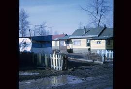
          Houses
          2012.13.1.22.30 · Item · 1970
          Part of J. Kent Sedgwick fonds

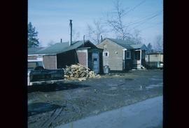
          Image depicts a few houses in Island Cache. There are two unknown individuals present.

          Houses
          2012.13.1.22.17 · Item · 1970
          Part of J. Kent Sedgwick fonds

          Image depicts a few houses and a dog on a porch at Island Cache.

          Houses and a Ballpark
          2012.13.1.93.01 · Item · 1978
          Part of J. Kent Sedgwick fonds

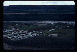
          Image depicts a view of numerous houses and a ballpark at an uncertain location. It is possibly located somewhere in the Peace River Region.

          Houses and Three Goats
          2012.13.1.87.021 · Item · [between 1975 and 1995]
          Part of J. Kent Sedgwick fonds

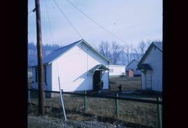
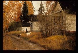
          Image depicts several houses, and three goats standing on a narrow dirt road. The location is uncertain, likely Sinclair Mills, B.C.

          Houses on Stilts
          2012.13.1.6.106 · Item · Nov. 1980
          Part of J. Kent Sedgwick fonds

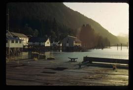
          Image depicts a number of houses built on stilts over a body of water in an uncertain location.

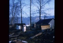
          Hydraulic
          2012.13.1.69.30 · Item · [1981?]
          Part of J. Kent Sedgwick fonds

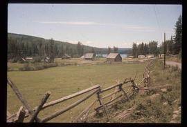
          Image depicts the old log buildings of the town of Hydraulic, B.C.

          2009.5.2.59 · Item · [ca. 1930?]
          Part of Taylor-Baxter Family Photograph Collection

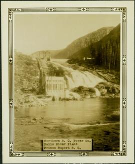
          Photograph depicts power plant by waterfall. Extensive construction materials and structures can be seen scattered to left of plant. River in foreground, forest and hills in background. Typed annotation on verso of photograph: "Northern B.C. Power Co. Falls River Plant Prince Rupert B.C."

          Ice Jam at Princeton Bridge
          2009.5.2.162 · Item · [ca. 1930?]
          Part of Taylor-Baxter Family Photograph Collection

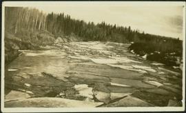
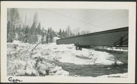
          Photograph depicts man standing on ice over river, near unidentified bridge. Trees on opposite shore in background. Handwritten annotation on recto: "This was the way the ice Jammed up in the river at Princeton. This bridge is normally 13 ft above the water."

          Ice Rafted Boulders
          2012.13.1.125.22 · Item · [1982?]
          Part of J. Kent Sedgwick fonds

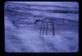
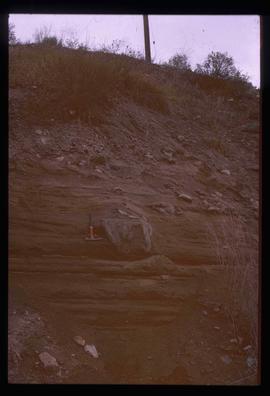
          Image depicts a boulder protruding from layers of sediment with a hammer beside it for size reference. It is located somewhere in Soda Creek, B.C.

          2006.25.1.79 · Item · Apr. 1963
          Part of Al Elsey Moving Images Collection

          There are three different sections of film footage on this reel.

          The first is of two men and a young boy going fishing from a river bank, gutting and cleaning the fish they catch and baiting their hooks with mill eggs. There is more filming of three other men going down the river in a small boat and then banking it to fish. They gut and clean their fish as-well. They load their small boat into the back of a red pick-up truck after they are finished their day.

          The second part of this film reel begins with a map of Tweedsmuir Provincial Park. Men on snowmobiles traveling to an abandoned log home and acreage. They then break through the ice on the nearby lake and begin to retrieve their previously set beaver trap, which has a caught beaver. The men then travel to a different location and set up a beaver trap. There is some additional footage of two moose in the snow as the men travel to a third location and retrieve another caught beaver from under the ice. The men return to their cabin and skin the beavers.
          The third part of this film is footage of Anahim Lake village, birds in the area, wild flowers, cattle drive, children fishing on the river and swimming, a pelican on a lake, and people in a boat traveling.

          Possible other locations of filming include Bella Coola River, Dean River, Ulkatcho, Ulkatcho Mountains, and Tweedsmuir Provincial park.