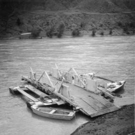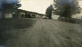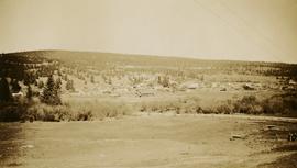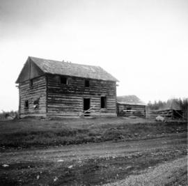
2013.6.36.1.079.02
·
Item
·
[22 May 1972]
Part of David Davies Railway Collection
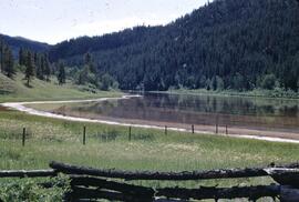
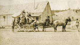
Photograph depicts an abandoned settlement.