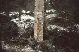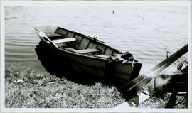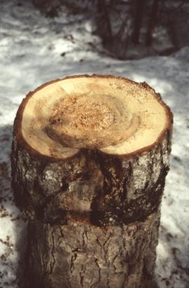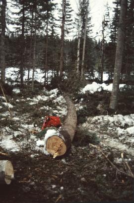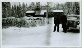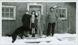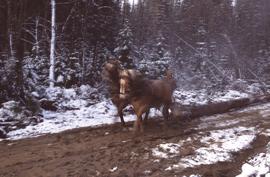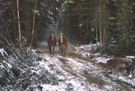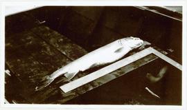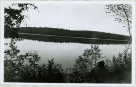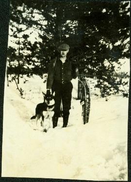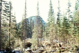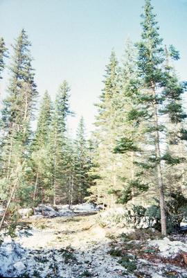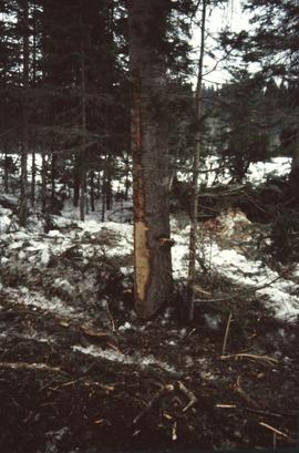
2006.18.6.06.32
·
Item
·
Apr. 1992
Part of Aleza Lake Research Forest Society fonds
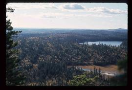
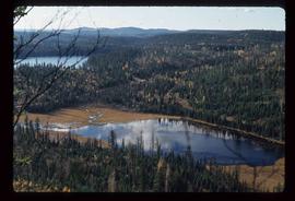
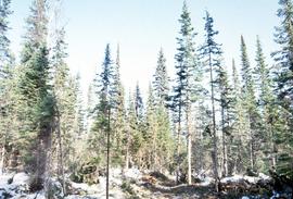
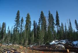
No annotation provided on slide.