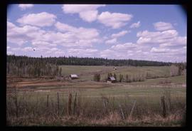
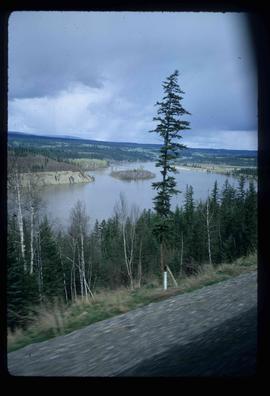
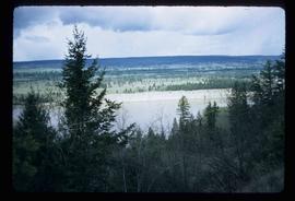
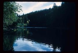
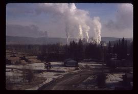
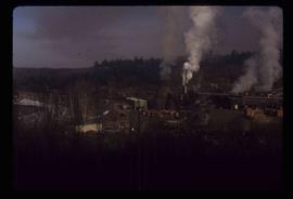
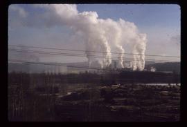
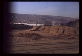
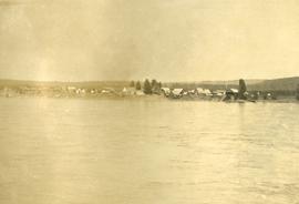
Image depicts a view of the property at 153 Mile House, near Quesnel, B.C.
Quesnel, BC
35 Archival description results for Quesnel, BC
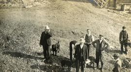
Photograph depicts a group of men and dogs standing outdoors in the sunshine.
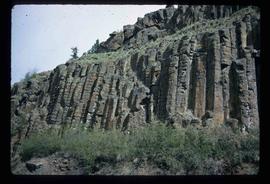
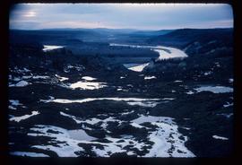
Image depicts a basalt landform somewhere in or near Quesnel, B.C.
Subseries contains material collected and created by Kent Sedgwick for research on various areas in British Columbia and Alberta. Includes written notes by Kent Sedgwick, pamphlets, and newspaper clippings relating to towns and settlements. These areas include Quesnel, Likely, the Yukon Telegraph Trail, Barkerville, Wells, the Cariboo region, Fort Alexandria, Soda Creek, the Chilcotin region, Jasper, the Rocky Mountains, Mackenzie, Tumbler Ridge, the Peace River region, Fort St. James, the Omineca region, Kitimat, Lethbridge, the Bulkley Valley, and Fort Mcleod. These files cover a variety of topics including Chinese people in British Columbia, land settlement, tourism, and historic information on the regions.
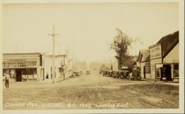
Street view photograph looking down Carson Avenue at the Front St. intersection in Quesnel, BC. Several identified businesses line the gravel avenue on the right; however Cowan's Hardware store is visible at the intersection on the left. Printed annotation on recto reads: "Carson Ave., Quesnel, B.C. 1930 Looking East."
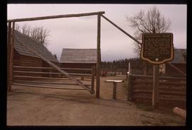
Image depicts the Cottonwood House Historic Site along Barkerville Highway, east of Quesnel, B.C. A sign posted by the fence reads: "For over half a century the Boyd family operated this haven for man and beast. Here weary travellers found lodging, food, and drink. Here fresh horses were hitched to stage-coaches and miners bought supplies. This historic road-house, built in 1864, stood as an oasis of civilization on the frontier of a rich new land."
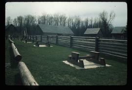
Image depicts the picnic site of the Cottonwood House Historic Site, located on the Barkerville Highway, east of Quesnel, B.C.
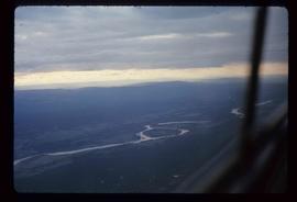
Image depicts an aerial view of Diamond Island, near Quesnel, B.C.
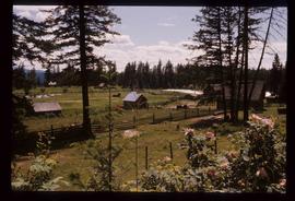
Image depicts a farm on the west side of the Fraser, south of Quesnel, B.C.
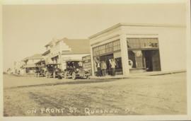
Street view photograph taken at the intersection of Front Street and Carson Avenue. Several men are gathered at Cowan's Hardware store on the corner. Also visible in this photograph is the Cariboo Hotel (visible furthest to the left), and the British American Hotel which is partially visible behind the J.A. Fraser store. Printed annotation on recto reads: "On Front Street, Quesnel, B.C."
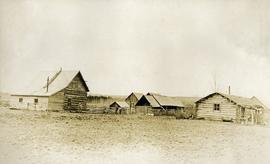
Photograph depicts a cluster of log buildings with fences and corrals. A field in the foreground, trees and low hills in the distance. On the road from Quesnell to Fraser Lake 1911.
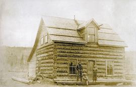
Photograph depicts three men standing and sitting on a porch deck in front of a log house, trees in the background.
Photograph depicts a group of men standing near a building with the sign, "James Reid Ltd. General Merchants". There are a few fences and buildings in the background.
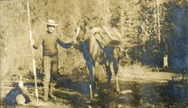
Photograph depicts man (presumably A.H. Holland) with survey pole standing next to loaded pack horse.
File contains slides depicting landforms at various locations.
File contains postcard photographs portraying life in various Northern BC Communities. Images depict buildings and streets, church structures, harbours and docks, and views of the shore from the water to name a few.
Image possibly depicts the Fraser River from Highway 97 near Quesnel, B.C.
Image possibly depicts the Fraser River from Highway 97 near Quesnel, B.C.
Image depicts the Fraser River from Highway 97 near Quesnel, B.C.
Image depicts a sawmill somewhere in Quesnel, B.C.
Image depicts a sawmill somewhere in Quesnel, B.C.
Image depicts a sawmill somewhere in Quesnel, B.C.
Image depicts numerous wood piles near the sawmill somewhere in Quesnel, B.C.
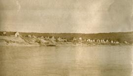
Photograph depicts a long row of buildings bordering a river.
Photograph depicts a long row of buildings bordering a river. A scow is anchored near the river bank.
Photograph depicts several buildings lining the river bank at Quesnel BC.
Photograph depicts a view of buildings lining the river bank, a steamship is anchored near shore.
Image depicts the location of a slump type of landslide at Moose Heights, north of Quesnel, B.C.
Photograph depicts men on sternwheeler in river, opposite shore in background.
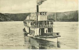
Printed annotation on recto reads: “S.S. “Charlotte,” Quesnel. B.C.” Handwritten message on verso is addressed to “Mr. O. Winter 1016 V Park St. Victoria B.C.” Cancellation stamp on Canadian 1 cent stamp reads: "ASHCROFT B.C. JUN [10?] 11".
Stern wheeler in river. Printed annotation on recto reads: “S.S. “Charlotte,” Quesnel. B.C.” Handwritten message on verso is addressed to “Mr. O. Winter 1016 V Park St. Victoria B.C.” The dates on the canceled 1 cent Canadian stamp on verso are not readable.
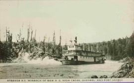
Stern wheeler in river. Printed annotation on recto reads: “Steamer B.X. Monarch of New B.C. Soda Creek, Quesnel and Fort George”
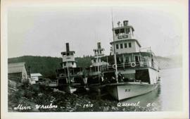
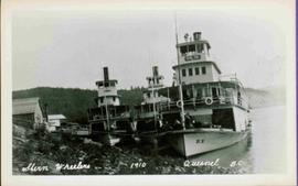
Photograph depicts three steamboats anchored near the shore of the Fraser river at Quesnel, BC.
3 Sternwheelers tied to a river bank. Printed annotation on recto reads: “Stern Wheelers 1910 Quesnel B.C.” Handwritten annotation on verso in pencil reads: “BX, B.C. Express, Charlotte”
Photograph features three sternwheelers tied to river bank. Buildings visible on far left, hills on shore visible in background.
Printed annotation on recto reads: “Stern Wheelers 1910 Quesnel B.C.” Handwritten annotation on verso in pencil reads: “BX, B.C. Express, Charlotte”
Photograph depicts a man standing on the deck of a ferry boat. A long row of building line the riverbank in the background.
