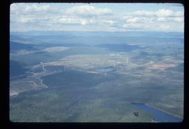
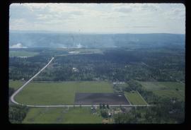
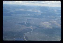
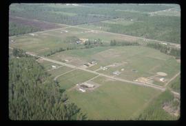
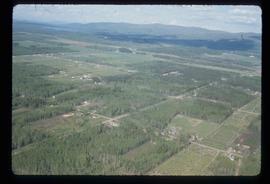
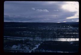
Image depicts an aerial view of areas that have been used for logging around Prince George, B.C.
Prince George, BC
356 Archival description results for Prince George, BC
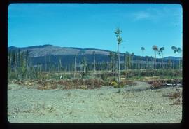
Image depicts a highway, and a section of mountain in the background which is bare due to clear-cut logging. It is possibly somewhere near Prince George, B.C.
Image depicts a logging area, and a section of mountain in the background which is bare due to clear-cut logging. The slide is also labelled "logging show." It is possibly somewhere near Prince George, B.C.
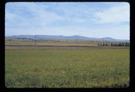
Image depicts Tabor Mountain in the distance, located in Prince George, B.C.
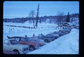
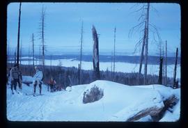
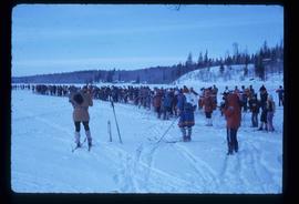
Image depicts a long line of people cross country skiing somewhere on Tabor Mountain in Prince George, B.C.
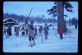
Image depicts a skier in a costume with a fake sword, somewhere on the Birchleg Ski route on Tabor Mountain in Prince George, B.C.
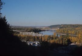
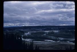
Image depicts Prince George from the view of Peden Hill.
Image depicts Prince George near the Airport Road.
Image depicts an aerial view of the Ahbau area somewhere near Prince George, B.C.
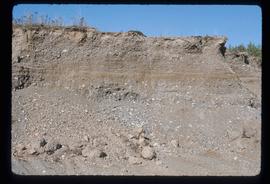
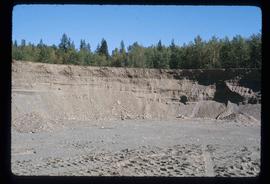
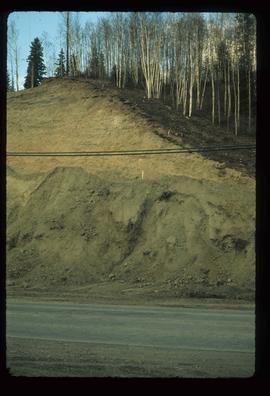
Image depicts layers of gravel at the BCR site in Prince George, B.C.
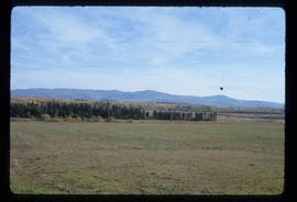
Image depicts a view of the area around Tabor Mountain in Prince George, B.C.
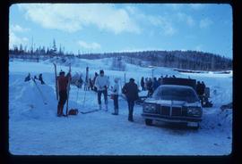
Image depicts a vehicle and a large group of skiers somewhere on Tabor Mountain in Prince George, B.C.
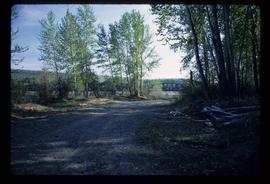
Image depicts a clearing in Prince George, B.C., possibly in the Pineview area.
Image depicts a clearing in Prince George, B.C.
Image depicts Tabor Mountain from the airport in Prince George, B.C.
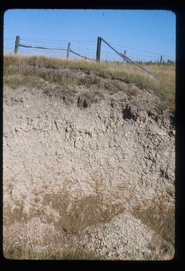
Image depicts an example of varves, an annual layer of sediment or rock, possibly located at the airport in Prince George, B.C.
Image depicts layers of gravel at the BCR site in Prince George, B.C.
Image depicts a long line of people cross country skiing along the Birchleg route on Tabor Mountain in Prince George, B.C.
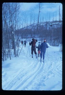
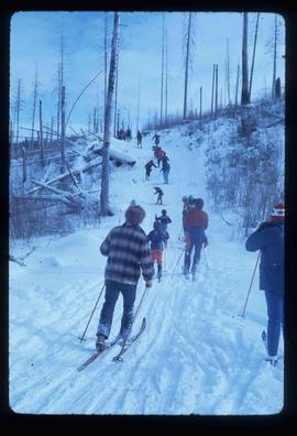
Image depicts numerous skiers cross-country skiing on a trail through trees on the Birchleg Ski route on Tabor Mountain in Prince George, B.C.
Image depicts numerous skiers on the Birchleg Ski route on Tabor Mountain in Prince George, B.C.
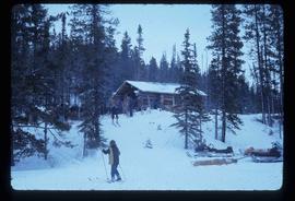
Image depicts numerous skiers at the cabin located at Troll Lake on Tabor Mountain in Prince George, B.C.
File is a Resource Folio of maps and accompanying information created by Northwood Pulp & Timber regarding Timber Sale Harvesting Licence A01847, Willow River Block, Willow River P.S.Y.U. Includes maps that depict ungulates, waterfowl, recreation areas, special influence areas, and timber types. Most of the sheets have a duplicate, some with very slight variations. The following maps are supposed to be included in the but were missing upon arrival at the Archives: fish & topography, cutting permits & roads, and soils.
Image depicts a small slope on Carney Hill in Prince George, B.C.
Image depicts miocene gravels on Carney Hill in Prince George, B.C.
Image depicts Cottonwood Island.
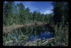
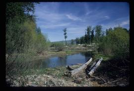
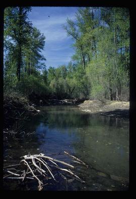
Image depicts a small stream somewhere on Cottonwood Island.
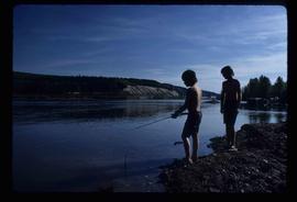
Image depicts two youths fishing from the bank of the Nechako River on Cottonwood Island.
File consists of records created and collected by Kent Sedgwick regarding Cottonwood Island in connection with his employment with the City of Prince George Planning Department. Includes briefs, proposals, memoranda, correspondence, newspaper clippings, questionnaires, legal correspondence, meeting minutes, and photocopied excerpts from maps/plans. Also includes two polaroid photo prints depicting garbage in Cottonwood Island Park circa 1979. Highlights include:
- Prince George Kiwanis Club, "Brief to City Council, City of Prince George, re: Nechako Riverfront Park", 12 Mar. 1973.
- New Caledonia Institute of Environmental Studies, "Proposal for Cottonwood Island as a Park Reserve", Summer 1973.
- "Cottonwood Island Study", [before 1975] (photocopy).
- Mary Fallis, "Letter to the Editor of The Citizen", 5 Mar. 1976 (photocopy).
- City of Prince George Planning Department, "Ownership, Legal and Assessment Data - Private and School District Properties within the Proposed Replot Area [Island Cache]", 11 Oct. 1978.
- "Assessed Values for City and Crown Lands within the Proposed Replot Area North of First Ave" (handwritten table), 16 Oct. 1978.
Image depicts what is possibly a small section of the Nechako River on Cottonwood Island.
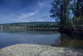
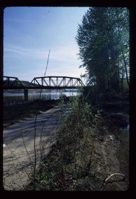
Image depicts the Fraser River and the Grand Trunk Pacific Bridge from Cottonwood Island Park.
Image depicts Prince George at night from the cutbanks.
File contains slides depicting Cottonwood Island in Prince George, B.C.
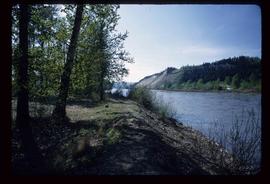
Image depicts the Nechako River on Cottonwood Island.
Image depicts a horse on Cottonwood Island.
Image depicts the Nechako River from Cottonwood Island.
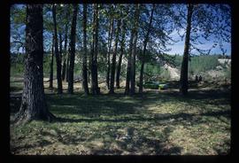
Image depicts a green car among some trees on Cottonwood Island.
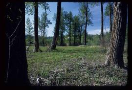
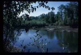
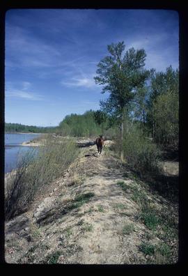
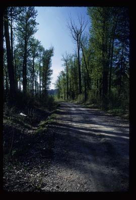
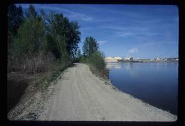
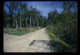
Image depicts a nature trail on Cottonwood Island.
Image depicts a nature trail on Cottonwood Island.
Image depicts a nature trail on Cottonwood Island.
Image depicts a nature trail on Cottonwood Island.
Image depicts Cottonwood Island.
Image depicts a small stream somewhere on Cottonwood Island.
Image depicts a nature trail on Cottonwood Island.
File consists of records created and collected by Kent Sedgwick regarding Cottonwood Island. Includes: "Welcome to Cottonwood Island Nature Park" brochure [197-?]; "A Brief History of Cottonwood Island Park" by Kent Sedgwick (2001); "History of Cottonwood Island Park and Side Channel Restoration" (2001?); a Regional District of Fraser-Fort George "Notice of Public Hearing" (1973); an outline for "Cottonwood Island Brief" (1973); an original copy of the "Cottonwood Island Study" by the Regional District of Fraser-Fort George (1975); annotated hand-drawn small maps of Cottonwood Island; photocopied aerial photographs; and photocopied newspaper clippings about Cottonwood Island and Island Cache. Also includes 15 colour photographic prints and accompanying negatives taken of Cottonwood Island by Bob Nelson.
File consists of proposals and documents by Kent Sedgwick regarding Cottonwood Island. Includes: "Proposal for Cottonwood Island as a Park Reserve" and "Some Comments on the Cottonwood Island Park Designation of the Official Community Plan".
Image depicts a view of Prince George from the cutbanks.
File consists of original and photocopied newspaper clippings regarding Cottonwood Island and Island Cache, predominantly from the Prince George Citizen.
File consists of maps and plans depicting the Cottonwood Island area in Prince George. Includes:
- "Plan of Subdivision pursuant to the replotting provisions of the Municipal Act of Parcel A of Plan 25046, of District Lots 343, 662, 1511, 4736, and 7813, Cariboo District" by McWilliam, Whyte, Goble & Associates B.C. Land Surveyors for the City of Prince George, 26 July 1979 (reproduction on 2 sheets)
- "Cottonwood Island" original draft map with annotations by Kent Sedgwick; the map may have been created by Sedgwick during his time as Senior City Planner with the City of Prince George [197-?]
- "Prince George B.C., Fraser Subdivision, Mile 146.05" plan for Canadian National Railways by Lockwood Survey Corporation Ltd., 1967. This very large technical drawing shows CN leases and private property buildings on Island Cache in detail.
- McWilliam-Whyte-Goble & Associates, B.C. Land Surveyors, "Plan Showing Sections in Proposed Lakeland Mill Site", July 1978 (original reproduction).
- Carroll, Hatch & Associates, "Lakeland Mills (1973) Ltd., Prince George, B.C., Stud Mill Studies, Site Plan", 31 July 1978 (original reproduction).
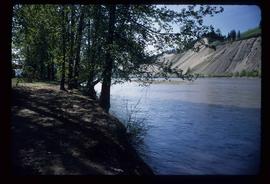
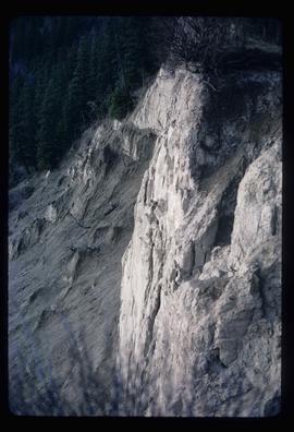
Image depicts a cutbank on the Nechako River in Prince George, B.C.
Image depicts the Fraser River from the vantage point of the cutbanks in Prince George, B.C.
