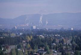
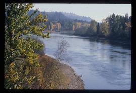
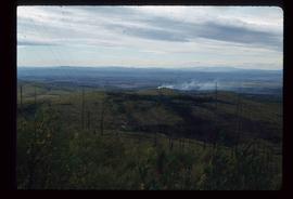
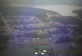
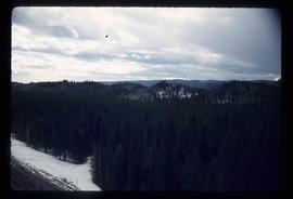
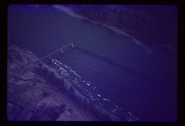
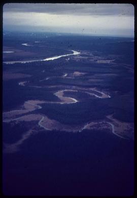
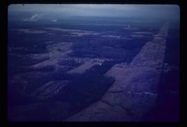
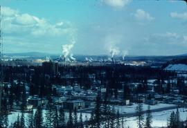
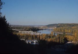
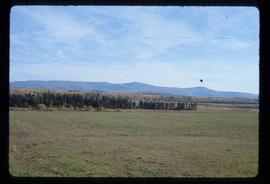
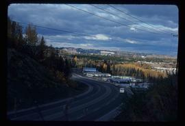
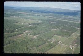
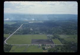
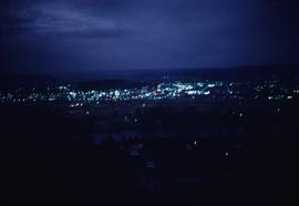
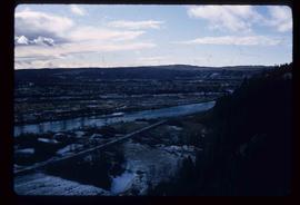
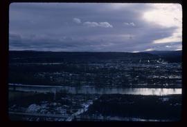
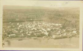
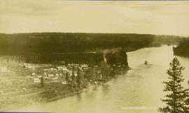
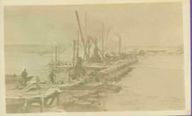
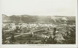
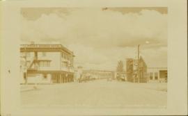
Image depicts a view of Prince George.
Prince George, BC
321 Archival description results for Prince George, BC
Image depicts a river, possibly the Nechako, in Prince George, B.C. Possibly taken from the Foothills Bridge.
Image depicts an aerial view of Fort George Park.
Image depicts a view of Prince George, from Gunn Point in the L.C. Gunn Park.
Image depicts the Tabor Lake Subdivision in Prince George, B.C.
Image depicts an esker at the Foothills Boulevard in Prince George, B.C.
Image depicts the flows from a pulp mill in Prince George, B.C.
Image depicts natural meadows, possibly east of Prince Georg, B.C.
Image depicts power lines east of the pulp mills in Prince George, B.C.
Image depicts a view of Prince George from Carney Hill.
Image depicts Prince George from the view of Peden Hill.
Image depicts Tabor Mountain from the airport in Prince George, B.C.
Image depicts a view of Peden Hill in Prince George, B.C.
Image depicts a clearing in Prince George, B.C.
Image depicts Prince George near the Airport Road.
Image depicts Prince George at night from the cutbanks.
Image depicts a view of Prince George from the cutbanks on the Nechako river.
Image depicts a view of Prince George from the cutbanks.
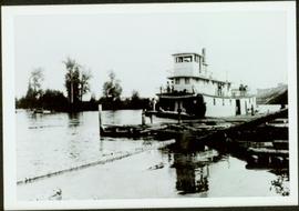
Water and dock in foreground, trees and cliffs in background.
Handwritten annotation on verso “’Boat Hammond at South Fort Geroge”.
Unidentified man can be seen walking on railroad tracks on far right. Utility poles, field, small building and background hills are visible in image.
Railroad track, utility poles, field, small building and background hills are visible in image.
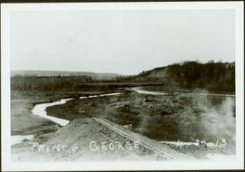
Early spring landscape with roadbed and track in foreground, river in midground, and hill in background.
Handwritten annotation on recto: “PRINCE GEORGE 4-20-13”.
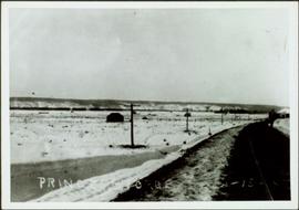
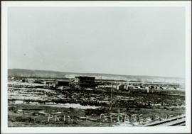
Winter landscape taken from behind railroad track. Cleared land in foreground, buildings in midground, low hills in background.
Handwritten annotation on recto: “PRINCE GEORGE 3-15-14”.
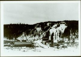
Winter scene with buildings, street, and utility poles. Hill in background.
Handwritten annotation on verso: “South Ft. George 1912”.
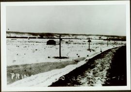
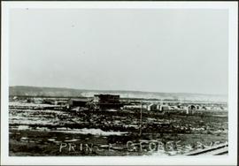
Winter landscape taken from behind railroad track. Cleared land in foreground, buildings in midground, low hills in background.
Handwritten annotation on recto: “PRINCE GEORGE 3-15-14”.
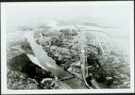
Aerial view of Prince George featuring roadways and the confluence of the Fraser and Nechako rivers.
Annotation on verso: “Prince George from air 1936”.
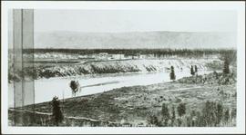
Photograph depicts landscape with cleared land in foreground, river in middle, building and trees in background.
Handwritten annotation on verso: "Central Fort George 1911".
Collection contains photographs depicting community life in Prince George, B.C. Images depict holiday events, sports teams, government buildings, businesses (hotels, banks, retail, newspaper office), riverboats, railroad construction, fishing, a cemetery, street scenes, aerials, and landscapes. Also includes photos taken outside of the Prince George vicinity including Prairie Creek, Thomas Creek and Barkerville, B.C.
Fonds consists of photographs, scrapbooks of newspaper clippings and memorabilia, correspondence, reports and other textual material. The photographs relate to Mr. Williston’s life from childhood to the late 1990s, the scrapbooks document Mr. Williston’s years in political office, and the textual materials relate to both Mr. Williston’s public life and private interests.
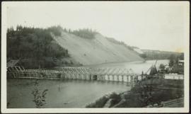
Williston, Ray GillisPhotograph depicts bridge over Nechako River. Sloped cutbanks on opposite shore in background. Buildings and railroad tracks can be seen on town shore in right foreground.
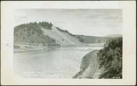
Photograph depicts bridge over Nechako River. Sloped cutbanks on opposite shore in background. Railroad tracks can be seen on town shore in right foreground. Handwritten annotation on verso of photograph: "NECHAKO RIVER NEAR PRINCE GEORGE B.C. N.H.D."
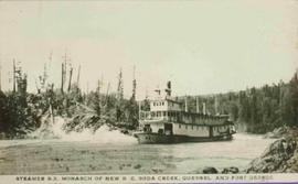
Stern wheeler in river. Printed annotation on recto reads: “Steamer B.X. Monarch of New B.C. Soda Creek, Quesnel and Fort George”
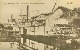
Stern wheelers “Operator” and “Conveyor” in dock. Printed annotation on recto reads: “S.S. “Operator” and “Conveyer” at Fort George, B.C. No. 107.”
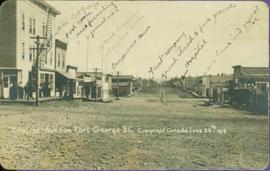
Printed annotation on recto reads: “Central Avenue Fort George B.C. Copyright Canada June 25th 1913”. Handwritten annotation in ink on recto reads: “Hotel Fort George; Pool room; Men’s furnishing; General store; Bank Vancouver; Telephone office; Temperance House; Trust-company; Grand stand & fair grounds; Hospital; Ware house and general store.” Cancelled 1 cent Canadian stamp on verso is dated: "Fort George BC Jul 14 13". Handwritten message in ink on verso is addressed to Mr. Chas H Wilson 94 Gould St Toronto: "Fort George. B.C> Box 65, July 13/ 13. Dear Father, This is a 'bird's eye view' of our main street - ha! ha! some class alright. We live right behind the bakery lunch room on the right hand side of the picture, on 1st avenue, some people eh? Will be moving to Cassiar Ave soon. How are all the folks. Mae is writing. Peace. M."
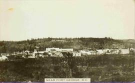
View of Cluster of buildings with treed hill in the background. Printed annotation on verso reads: “NEAR FORT GEORGE B.C.”
Lofty view of South Fort George, river and treed hills in the background. Printed annotation on verso reads: “South Fort George - 1913.” Handwritten message on recto is addressed to “Ethel M. Heurris Norton Maps Bristol County" reads: "11-1-13 an excellent view of south Fort George taken recently. Power Station at cross near water. This does not give all the south residence view. Population approx 1500”.
Lofty view of Fort George, B.C., river and paddle wheeler on right. Treed hills can be seen in background. Printed annotation on verso reads: “Fort George B. C.”
Photograph depicts pier under construction, workers, buildings smokestacks and river with chunks of ice. Handwritten annotation in pencil on recto reads: “S. FT. GEORGE G.T.P. BRIDGE”.
Overhead photograph of Prince George, BC ca. 1950 with hills in background. Annotation on recto reads: "Prince George, B.C."
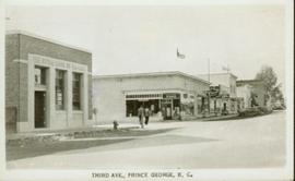
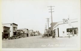
Photo depicts a street perspective cars lining Third Avenue, in Prince George, BC, ca. 1950. Annotation recto reads: "3rd Ave Prince George BC Photo J. Wrathall." Handwritten annotation in pen on verso of postcard reads: “This is the equivalent of our Granville Street. Both theatres are located here as well as Hudson Bay Co., banks, library & stores.”
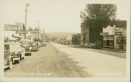
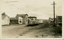
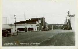
Photo depicts a street perspective of George St., in Prince George, BC, ca. 1950. Annotation recto reads: "George St. Prince George BC Photo by J Wrathall." Handwritten annotation in pen on verso of postcard reads: “This is the Hastings Street of Prince George. This & 3rd Streets are the main thoroughfares.”
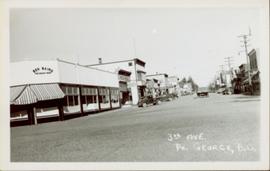
Photo depicts a street perspective of Third Ave., in Prince George, BC, ca. 1950. Handwritten annotation in pen on verso of postcard reads: “You will undoubtedly notice that there are no tall buildings. I don’t think that there is one building in Prince George that is even five stories tall.”
This photograph collection consists of 53 photographs featuring primarily Giscome with a few of Prince George. Subjects include the Eagle Lake Sawmill, Eagle Lake, Giscome townsite (including specific buildings and general road perspectives), Giscome School, Division II class photos (1950-51), and the Giscome School teacherage.
Consists of legal records and documents related to the holdings and activities of J. B. Henderson-Roe and his father, C.H. Henderson-Roe, including a hand-drawn map of Prince George, Fort George, and South Fort George, as well as a surveyor's plan for a subdivision.
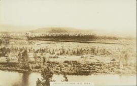
Wide angle photograph of a forested area with Prince George in the distance. Printed annotation on recto reads: "Prince George, B.C. 1924."
Street level photo of George Street in Prince George, Visible businesses include the "Prince George Hotel" and "Ford" dealership. Printed annotation on recto reads: "George St. Looking North Prince George, B.C. N&D."
Street level photo of Third Avenue in Prince George. Visible businesses include "Cut Rate Grocery" and "C.N.R. Cafe." Printed annotation on recto reads: "3rd Ave. Prince George."
Street level photo of George Street in Prince George. Visible businesses include "B-A" and "Astoria Hotel." Printed annotation on recto reads: "George St. Prince George."
Photograph taken from the intersection of 3rd Avenue and an unidentified street. Visible businesses include "Ben Baird The Smart Shop" and "C.N.R. Cafe." Printed annotation on recto reads: "3rd Ave. PR. George, B.C."
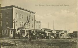
Street view of some vehicles parked in front of commercial buildings in Prince/Fort George. Businesses include "J.P. Robertson 'The Men's Store'" and "James & Co. Clothing and Shoes." Printed annotation on recto reads: "Fort George- Corner Hammond and Central."
