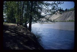
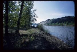
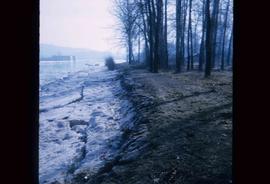
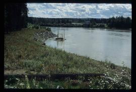
Forest cover map showing a crossing area of the McGregor River is annotated with a road and ferry crossing.
Prince George, BC
356 Archival description results for Prince George, BC
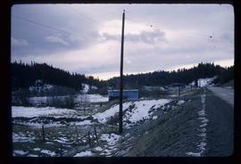
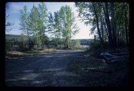
Image depicts the McMillan Creek from Northwood Pulpmill Road, in Prince George, B.C.
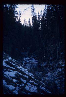
Image depicts part of the McMillan Regional Park in Prince George, B.C.
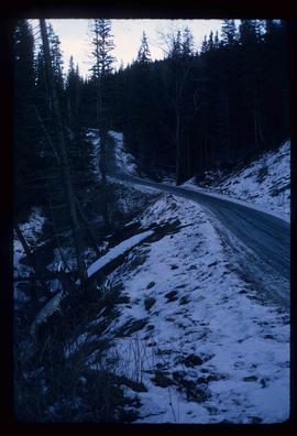
Image depicts part of the McMillan Creek Trail in the McMillan Regional Park in Prince George, B.C.
File consists an oral history with Michael Jull recorded by Barbara Coupe. Includes are transcripts and audio recordings.
Image depicts a view of the Millar Addition suburb in Prince George, B.C.
File consists of:
- Correspondence regarding the transfer of the Ministry of Forests records related to the Aleza Lake Experimental Station
- Aleza Lake Research Forest research notes on historical records
- Ministry of Forests Records Classifications
- Inventory report of BC Forest Service records relating to Aleza Lake
- Database print-out from the BC Forest Service Prince George Forest Region Research Installation Archive
- Ministry of Forests website print-outs from 2007, including a page on "Research Branch History"
File contains slides depicting logging and equipment. Most appear to be locations around Prince George.
Large-format map depicts the Monkman Public Sustained Yield Unit (PSYU) east of Prince George.
Large-format map depicts the Monkman Public Sustained Yield Unit (PSYU) and Tree Farm Licence 30 east of Prince George.
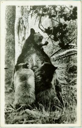
Handwritten caption below this photo reads: "Bought in Picture Prince George". Photograph depicts a mother grizzly bear standing on her hind legs against tree, so that her facial profile is visible. Two cubs stand on hind legs facing and leaning against her.
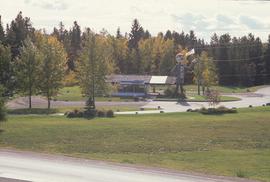
Image depicts Mr. P.G. and the Tourism Information site at the intersection of Highway 16 and 97. Map coordinates 53°53'46.5"N 122°46'00.7"W
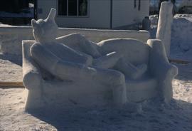
Image depicts a snow sculpture of the Mr. P.G. lounging on a couch, possibly during the Winter City Conference, in Prince George, B.C. Taken at the Prince George Civic Center. Map coordinates 53°54'45.6"N 122°44'59.6"W
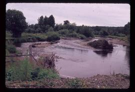
Image depicts Mud River, also known as the Chilako River, at Blackwater Road, Prince George, B.C.
File contains four maps of the Aleza Lake Research Forest showing locations of Permanent Sample Plots in partial cut timber sales.
Image depicts natural meadows, possibly east of Prince Georg, B.C.
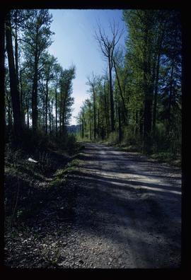
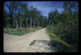
Image depicts a nature trail on Cottonwood Island.
Image depicts a nature trail on Cottonwood Island.
Image depicts a nature trail on Cottonwood Island.
Image depicts a nature trail on Cottonwood Island.
Image depicts a nature trail on Cottonwood Island.
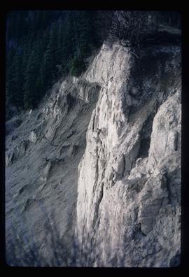
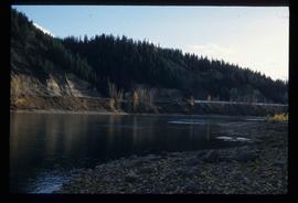
Image depicts a cutbank on the Nechako River in Prince George, B.C.
Image depicts the cutbanks on the other side of the Nechako, taken from the nature trail at Island Cache. Map coordinates 53°55'34.6"N 122°45'52.4"W
Image depicts the cutbanks on the other side of the Nechako, taken from the nature trail at Island Cache. Map coordinates 53°55'34.6"N 122°45'52.4"W
Image depicts the cutbanks on the other side of the Nechako, taken from the nature trail at Island Cache. Map coordinates 53°55'34.6"N 122°45'52.4"W
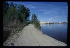
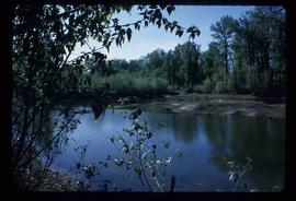
Image depicts what is possibly a small section of the Nechako River on Cottonwood Island.
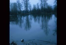
Image depicts a body of water in Island Cache. It is possibly a small section of the Nechako River.
Image depicts the Nechako River on Cottonwood Island.
Image depicts the Nechako River from Cottonwood Island.
Image depicts the bank of the Nechako River at Island Cache.
File consists of original and photocopied newspaper clippings regarding Cottonwood Island and Island Cache, predominantly from the Prince George Citizen.
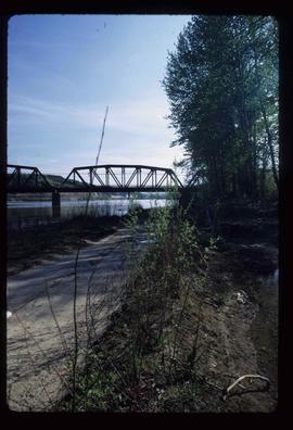
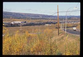
Image depicts the Northwood Bridge crossing in Prince George B.C.
Large-format map depicts Northwood Pulp & Timber operating areas in 1975.
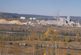
Image depicts the Northwood pulpmill in Prince George B.C.
Image depicts the Northwood pulpmill in Prince George B.C.
Image depicts the Northwood Pulpmill in Prince George, B.C. taken from above the Nechako River looking east. Map coordinates 53°56'00.0"N 122°44'29.7"W
Image depicts the Northwood pulpmill in Prince George B.C.
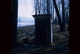
Image depicts what is likely an outhouse at Island Cache.
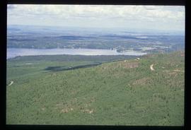
Image depicts a view over Tabor Mountain.
Image depicts the Fraser River at Paddlewheel park, with a train on the other side of the river, in Prince George B.C.
Image depicts the Fraser River at Paddlewheel park, with a train on the other side of the river, in Prince George B.C.
File contains slides depicting landforms at various locations.
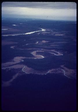
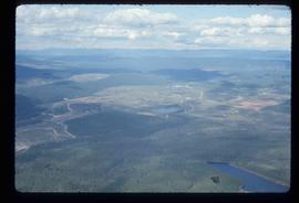
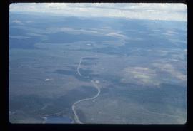
Image depicts an aerial view of areas that have been used for logging around Prince George, B.C.
Image depicts an aerial view of the Ahbau area somewhere near Prince George, B.C.
File contains slides depicting the grade for what was formerly the Pacific Great Eastern, and is now known as British Columbia Railway.
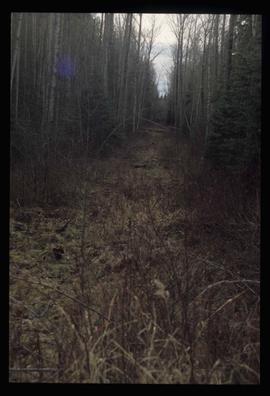
Image depicts a view of the south direction of the grade for the British Columbia Railway, which was formerly known as the Pacific Great Eastern until 1972. It is at an uncertain location, possibly near Woodpecker or Prince George.
Series consists of photographs created or accumulated by the Aleza Lake Research Forest Society.
Image depicts Pineview on Buckhorn Lake Road, Prince George, B.C.
Image depicts Pineview on Buckhorn Lake Road, Prince George, B.C.

