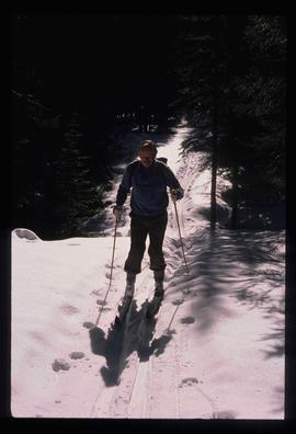
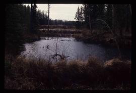
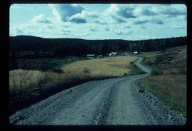
Image depicts an unidentified man cross country skiing somewhere on Tabor Mountain in Prince George, B.C.
Prince George, BC
356 Archival description results for Prince George, BC
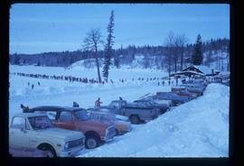
Image depicts a long line of people cross country skiing somewhere on Tabor Mountain in Prince George, B.C.
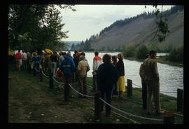
Image depicts a large crowd of people on a section of the Heritage Trail on Cottonwood Island in Prince George, B.C.
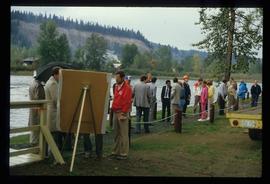
Image depicts a crowd of people on a section of the Heritage Trail on Cottonwood Island in Prince George, B.C.
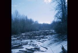
Image depicts an area of cut trees at Island Cache.
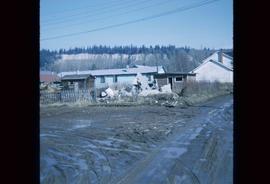
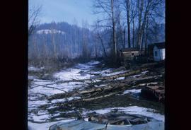
Image depicts the rubble of a demolished house at Island Cache, with several other buildings in the background.
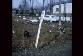
Image depicts two dogs and numerous chickens in a yard at Island Cache.
File contains an original "Do's and Don't's When Marking Stands For Cutting" booklet illustrated by J. Pickford.
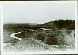
Early spring landscape with roadbed and track in foreground, river in midground, and hill in background.
Handwritten annotation on recto: “PRINCE GEORGE 4-20-13”.
Image depicts Eskers Park, near Prince George, B.C.
Videocassette is a VHS recording of an interview with John Revel produced by Spectrum Videoworks as part of a BC Forest Service "Esprit de Corps" institutional memory project.
File consists of:
- Correspondence from Everett Peterson to Paul Sanborn, dated 6 July 2001, which includes photocopied photographs taken at Aleza Lake in summer 1956
- Photocopied version of Everett Bruce Peterson's 1956 "Study of Coniferous Reproduction by Direct Seeding Methods on Various Forest Site Types at Aleza Lake, B.C.: An essay submitted during the Third Year of the Course in Forestry at the University of British Columbia" (original is held at NBCA 2007.1.25.3.12)
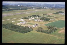
Image depicts a view of an experimental farm, possibly taken from Tabor Mountain.
File consists of a compilation of Experimental Projects in the Prince George Region. This compilation work was done by Stewart Taylor of the Ministry of Forests. Included are Experimental Projects regarding the Aleza Lake Research Forest that were selected from Taylor's larger project, which contained over 400 EP summaries for the Prince George Region.
Image depicts some fallen trees at Island Cache.
File consists of two copies of the Forest History Association of British Columbia Newsletter, Issue No. 88, published July 2010. This issue contains a synopsis of the 2009 Forest History Conference that look place at UNBC Prince George.
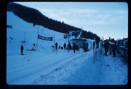
Image depicts numerous skiers standing near a finish line somewhere on Tabor Mountain in Prince George, B.C.
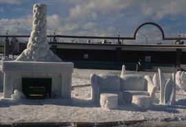
Image depicts a snow sculpted fire place and couch on a skating rink, possibly during the Winter City Conference, in Prince George, B.C. Taken at the Prince George Civic Center. Map coordinates 53°54'45.6"N 122°44'59.6"W
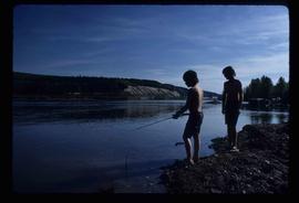
Image depicts two youths fishing from the bank of the Nechako River on Cottonwood Island.
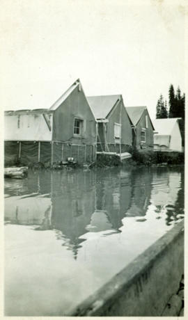
Photograph depicts lane in front of tent buildings flooded with water, forest trees in background. Photograph taken from canoe, portion of canoe visible in foreground. It is believed that this photograph may depict the Island Cache in flood, at Prince George, BC.
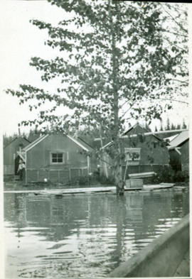
Photograph depicts lane in front of tent buildings flooded with water. Tree in midground, forest trees in background. A man can be seen between first and second row of tent buildings. Photograph taken from canoe, portion of canoe visible in right foreground. It is believed that this photograph may depict the Island Cache in flood, at Prince George, BC.
Image depicts an esker at the Foothills Boulevard in Prince George, B.C.
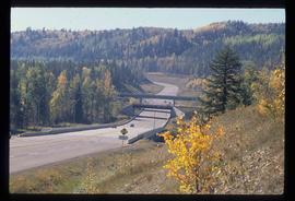
Image depicts the Foothills Bridge over the Nechako river on the Foothills Boulevard in Prince George, B.C. Map coordinates 53°56'52.5"N 122°48'59.9"W
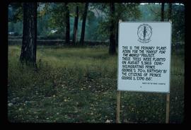
Image depicts a group of trees in the Cottonwood Park, with a sign which reads: "This is the primary plantation for the 'Forest for the World' project. These trees were planted on August 5, 1985, commemorating Prince George's 70th birthday by the citizens of Prince George & Expo 86'."
File consists of an original Forest Research Note published by the BC Forest Service Prince George Forest Region. This March 1999 note (#PG-16) is an article by Paul Sanborn, Marty Kranabetter, and Chuck Bulmer on "Soil Rehabilitation in the Prince George Forest Region: A review of two decades of research".
Slide depicts a heavily forested area with fallen logs, likely at the Aleza Lake Experiment Station.
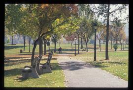
Image depicts the Fort George Par, which was renamed Lheidli T'enneh Memorial Park in 2015. Map coordinates 53°54'30.2"N 122°43'57.4"W
Image depicts an aerial view of Fort George Park.
File consists of:
- Newspaper clipping from the February 14, 2007 issue of the Prince George Citizen with the obituary of Franklyn Allan Hellenius (Jan. 3, 1944 - February 7, 2007)
- "Memories of Frank Hellenius: Interviewed by John Revel, also present Peter Hellenius, at Prince George, BC, March 2004" (3 copies, one of which is annotated by Mike Jull)
Image depicts the Fraser River from Northwood Road in the Prince George area.
File consists of:
- A computer database print-out of photographs held at the Fraser-Fort George Museum that relate to sawmills (as of 1993)
- The Fraser-Fort George Museum's "Northwood Archives Donation Inventory"
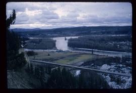
Image depicts a view of the Fraser-Nechako confluence from the Prince George cutbanks.
Image depicts the Fraser River from the vantage point of the cutbanks in Prince George, B.C.
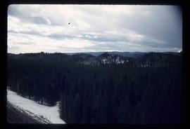
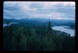
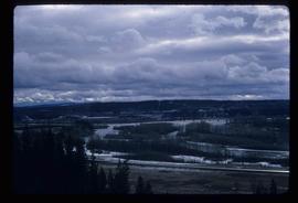
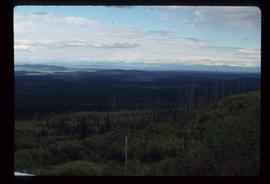
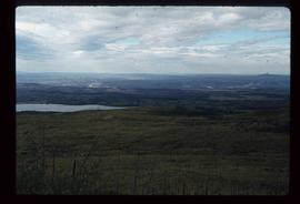
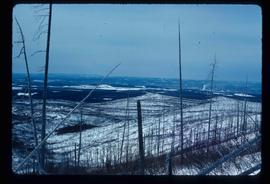
Image depicts a view of the landscape surrounding Tabor Mountain in Prince George, B.C.
Image depicts a view of the landscape surrounding Tabor Mountain in Prince George, B.C.
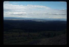
Image depicts the area surrounding Tabor Mountain. Prince George is slightly visible on the left side of the image in the background.
Image depicts the area surrounding Tabor Mountain. Prince George is slightly visible in the background.
Photographs within this file document natural and artificial features across the landscape of Northern British Columbia. This landscape also includes the physical, built, urban and industrial landscapes; topography; site plans; boundaries, districts, reserves, parks, sanctuaries, towns, villages and cities, etc.
Subseries consists of materials collected by Kent Sedgwick for research on the geography and natural resources in Prince George and its region. Includes material on the natural resource industry, including the opening of the McArthur Sawmill, the W. Lamb and Sons Lumber Sawmill, and mining; photocopied aerial photographs of Prince George; the climate, temperatures, and flooding; and the geographical features of Prince George.
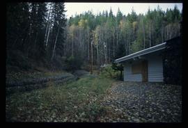
Image depicts the Ginter House and the surrounding woods, in Prince George, B.C.
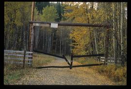
Image depicts a private driveway, most likely leading to the Ginter Property in Prince George, B.C.
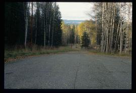
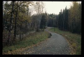
Image depicts a road near the Ginter House in Prince George, B.C.
Image depicts a road near the Ginter House in Prince George, B.C.
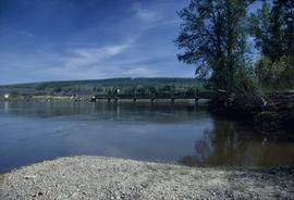
Image depicts the Fraser River and the Grand Trunk Pacific Bridge from Cottonwood Island Park.
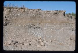
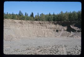
Image depicts layers of gravel at the BCR site in Prince George, B.C.
Image depicts layers of gravel at the BCR site in Prince George, B.C.
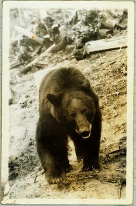
Handwritten caption below this photo reads: "Bought in Picture Prince George". Photograph depicts a grizzly bear walking on all fours in forest area, slash debris in background.
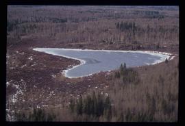
Image depicts Haldi Lake near Prince George, B.C.
Image depicts a house on Blackwater Road.
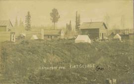
View of 5 buildings and 4 tents on land that has been cleared to stumps. Printed annotation on verso reads: “HAMILTON AVE. FORT GEORGE”, added handwritten annotation in ink reads: “1910”.
