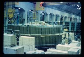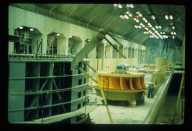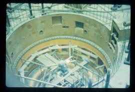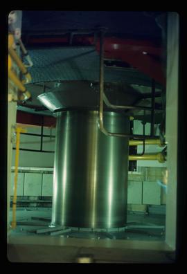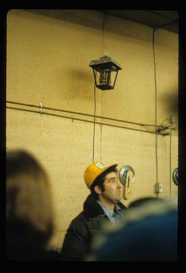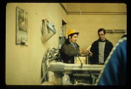
2012.13.1.93.54
·
Item
·
1978
Part of J. Kent Sedgwick fonds
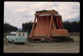
Image depicts an orange turbine in Fort St. John, B.C.