2000.19.2.162
·
Pièce
·
29 Aug. 1927-26 Sept. 1927
Fait partie de Prentiss Gray Collection
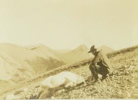
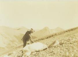
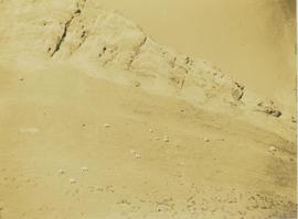
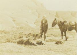
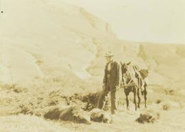
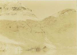
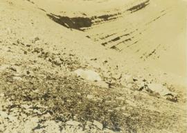
Photograph depicts a mountain goat lying on a rocky mountain slope.