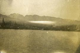
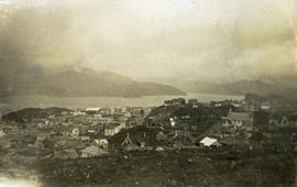
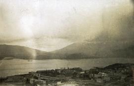
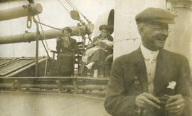
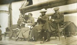
Photocopied map depicts mineral and coal mining properties in north western British Columbia.
Photograph depicts a view from the water looking toward buildings on the shore and mountains in the distance.
Photograph depicts a view looking down on the buildings of the city of Prince Rupert BC and beyond to the harbor and mountains in the distance.
Photograph depicts silhouette of Prince Rupert BC buildings and the view looking beyond to the water.
Photograph depicts view of Prince Rupert harbor from a deck.
Photograph depicts view of street showing that a large hill of rock has been cut through to allow for construction of roadway.
Photograph depicts a view from the shore looking out into Prince Rupert harbor.
Photograph depicts a view from the water looking into Prince Rupert harbor.
Photograph depicts passengers on the deck of the S.S. Prince Rupert. A man stands in the foreground while two women read books on deck.
Photograph depicts passengers sitting on a bench on the deck of S.S. Prince Rupert. The passengers appear to be a mother and father with their young boy, along with an older man and woman who is knitting.
Image depicts the waters of the Hecate Strait.
Image depicts numerous boats docked by the Prince Rupert Fishermen's Co-operative Association from the deck of a ferry, possibly as it's leaving Prince Rupert, most likely for Haida Gwaii.
Image depicts numerous boats docked in Prince Rupert, B.C.
Image depicts a large vessel docked at a grain elevator and two smaller boats at a dock in the foreground somewhere in Prince Rupert, B.C.
Image depicts several houses in Prince Rupert, B.C.
Image depicts numerous houses in Prince Rupert, B.C.
Image depicts the Pride O' the North shopping mall in Prince Rupert, B.C.
Image depicts the Bank of Nova Scotia located on "Besner Block" in Prince Rupert, B.C.
Image depicts an old building on the main street of Prince Rupert, B.C. Only half of the business name is visible: "Skeena Color [sic]."
Image depicts the City Hall of Prince Rupert, B.C.
Image depicts the main street of Prince Rupert, B.C.
Image depicts a view of Prince Rupert, B.C.
Image depicts numerous buildings and a small dock somewhere in Prince Rupert, B.C. One of the buildings is labelled "Fishermen's Supply."
Image depicts a large building with numerous vehicles in the foreground.
Image depicts numerous docked boats somewhere in Prince Rupert, B.C.
Image depicts a dock in Prince Rupert, B.C.
Image depicts the Hecate Strait near Prince Rupert, B.C.
Image depicts a grain elevator in Prince Rupert, B.C.
Image depicts numerous boats docked by a buildings identified as the "Prince Rupert Fishermen's Co-operative Association."
Image depicts a boat docked inside what appears to be a type of boathouse, possibly located in Metlakatla near Prince Rupert, B.C.
Image depicts a large vessel docked in Prince Rupert, B.C. The name on its side is "Star Capella." The slide itself is labelled "superport."
Image depicts the ferry to Alaska in the port of Prince Rupert, B.C.
Image depicts a fishing boat on the water somewhere near Prince Rupert, B.C. Only half of its name is visible: "spirit."
Image depicts Metlakatla, located near Prince Rupert, B.C.
Image depicts a view of the downtown core of Prince Rupert, B.C.
Image depicts numerous houses on the cliff-sides in Prince Rupert, B.C.
Image depicts the BC Packers Ltd. cannery in Prince Rupert, B.C.
Image depicts numerous docked boats in Prince Rupert, B.C.
Image depicts a view of what is possibly a shipping yard in Prince Rupert, B.C. The slide is labelled "superport."
Image depicts a view of the port in Prince Rupert, B.C. The slide is labelled "superport."
Image depicts a view of Prince Rupert, B.C.
Image depicts several ships on the water in Prince Rupert, B.C.
File contains slides depicting places in and around Prince Rupert, B.C.
Image depicts a road leading to Prince Rupert, B.C.
Image depicts the Skeena River somewhere near Prince Rupert, B.C.
Image depicts the Skeena River alongside Highway 16 en route to Prince Rupert, B.C.