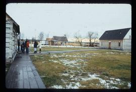
Image depicts the Hudson's Bay Company historic site in Fort St. James, B.C.
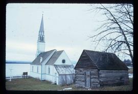
Image depicts a church in Fort St. James, B.C.
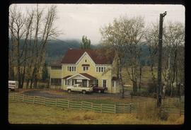
Image depicts the Onward Ranch near Williams Lake, B.C.
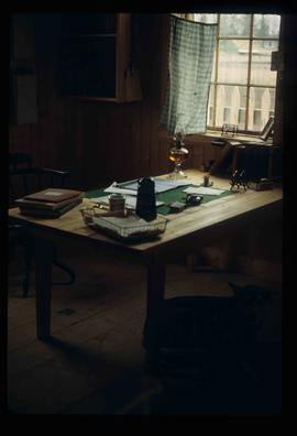
Image depicts the interior of the historic Hudson's Bay Company office in Fort St. James, B.C.
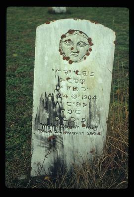
Image depicts an old tomb stone at an uncertain location, possibly Fort St. James, B.C.
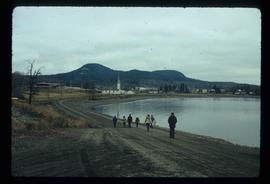
Image depicts a lake with numerous buildings along the shore. The location is uncertain.
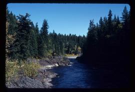
Image depicts Blackwater River.
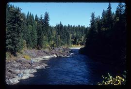
Image depicts Blackwater River.
File consists of a proceedings from the "Symposium on the Agricultural Potential of Central British Columbia" from the University of British Columbia.
The item is a reproduction of an aerial photograph of Prince George. Annotation states, "City of Pr. Geo. 1958 Aereal Photo CBD."
File contains slides depicting maps from the B.C. Atlas.
File contains slides depicting birds and wildlife at unknown locations.
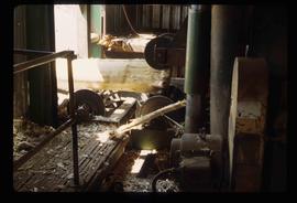
Image depicts machinery stripping a log of its bark in a saw mill somewhere in Prince George, B.C.
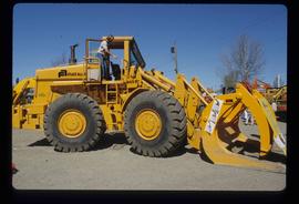
Image depicts an unidentified individual examining a piece of heavy machinery used in the forestry industry. It is located in Prince George, B.C.
File consists of notes, clippings, and reproductions relating to James C. Anderson and engineer J. Gill. James Anderson arrived in Fort George in 1912. Anderson did topographical surveys of the Fort George area for the Grand Trunk Pacific Railway between 1912 and 1913. Engineer J. Gill did a topographical survey of the Indian reserve for the Grand Trunk Pacific in 1912. Includes "Grand Trunk Pacific Maps" typescript document by Kent Sedgwick (3 June 1980).
The photograph depicts a man and a woman standing outside Penny Station. The first-floor windows are boarded up and one of the upper windows has broken glass.
The photograph depicts Penny train station next to the train tracks. Annotation on reverse side of photograph states, "Penny formerly at Lindup." Annotation on 35 mm slide states, "Penny."
The photograph depicts Penny train station next to the train tracks. Annotation on slide states, "0117 Penny."
The photograph depicts Dunster train station next to twinned train tracks. Annotation on slide states, "Dunster."
File consists of notes and reproductions relating to a field trip to Jasper.
File consists of notes and reproductions relating to a field trip in May 1979 for the College of New Caledonia to the Peace River Region, including the Pine Pass lookout; Dawson's Creek; Chetwynd; Hudson's Hope; and the W.A.C. Bennett Dam. Includes: "Peace River" duotang with resources compiled by Kent Sedgwick (1979) and "Bird's eye view of Fort St. John" postcard from Fort St. John (1980).
The item is a map depicting the area surrounding the Cottonwood River in the Cariboo Land District. Various annotations are mad in pen on the map.
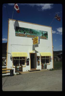
Image depicts a souvenir and gift shop for both Barkerville and Wells, B.C.
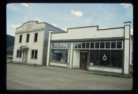
Image depicts the abandoned Cariboo Rooms, and a liquor store in Wells, B.C.
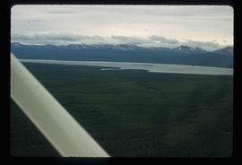
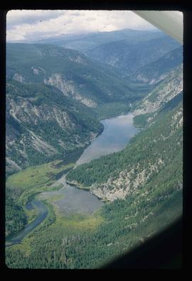
Image depicts an aerial view of what is likely Turner Lake in South Tweedsmuir Provincial Park.
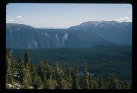
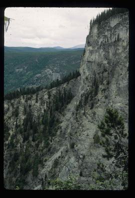
Image depicts an aerial view of South Tweedsmuir Provincial Park.
Image depicts an aerial view of South Tweedsmuir Provincial Park.
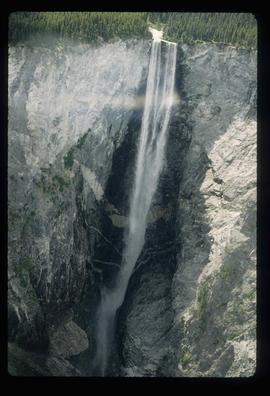
Image depicts an aerial view of a waterfall in South Tweedsmuir Provincial Park.
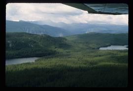
Image depicts an aerial view of a lake in South Tweedsmuir Provincial Park.
Image depicts an aerial view of South Tweedsmuir Provincial Park.
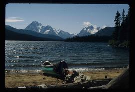
Image depicts a lake in South Tweedsmuir Provincial Park. There is a canoe present on the shore.
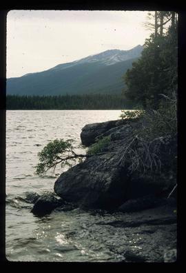
Image depicts a lake in South Tweedsmuir Provincial Park.
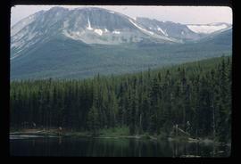
Image depicts a lake and mountain somewhere in South Tweedsmuir Provincial Park.
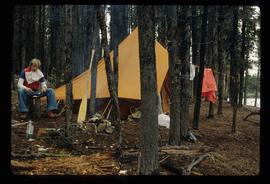
Image depicts an unknown individual eating in a camp somewhere in South Tweedsmuir Provincial Park.
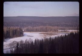
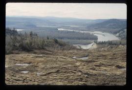
Image depicts a view of a forested area and a frozen river at an unknown location.
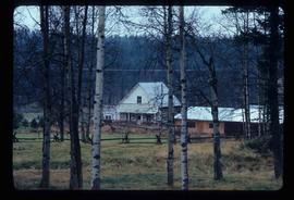
Image depicts a log house at an uncertain location; the slide is simply labelled "Cariboo."
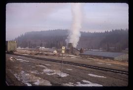
Image depicts a beehive burner, as well as rail road tracks, at an unknown location.
Image depicts an area of disturbed ground, most likely due to a landslide, at an unknown location.
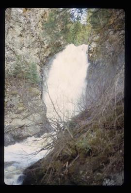
Image depicts the Hixon Falls in Hixon, B.C.
Image depicts the Crosina Store at 153 Mile House.
Image depicts a man named Dan Bashaw holding a sandwich and a cup of coffee at an uncertain location.
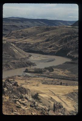
Image depicts what is possibly the Fraser River.
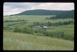
Image depicts what appears to be a small ranch. The slide is labelled "Becher's Prairie," possibly meaning Becher's Prairie Provincial Park in B.C.
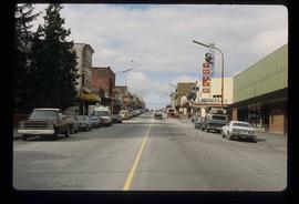
Image depicts the main street of Prince Rupert, B.C.
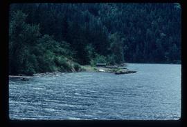
Image depicts a small shack on the shore of a lake near Seton Portage; it is likely either Anderson or Seton Lake.
Image depicts a view of Seton Portage in the trees, located between the two lakes, Seton and Anderson.
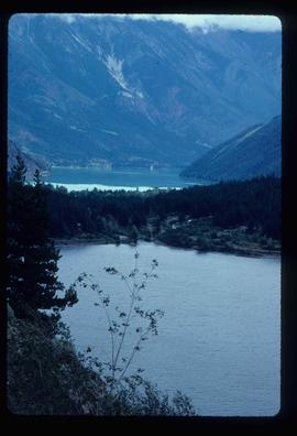
Image depicts a view of the area surrounding Seton Portage, B.C. Seton and Anderson Lake are both visible, with what is possibly either Seton Portage or Nosebag mountain also present.
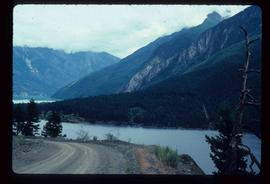
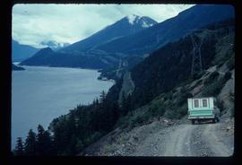
Image depicts a view of Anderson Lake near Seton Portage, B.C. A vehicle on a mountain road is also visible.
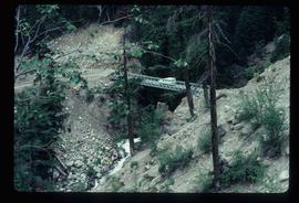
Image depicts a vehicle on a bridge somewhere near Anderson Lake in the Seton Portage area.
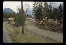
Image depicts a road with what appears to be a junkyard to the right of the image, likely located somewhere in Seton Portage, B.C.
