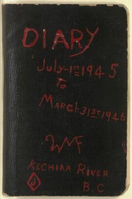
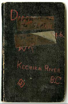
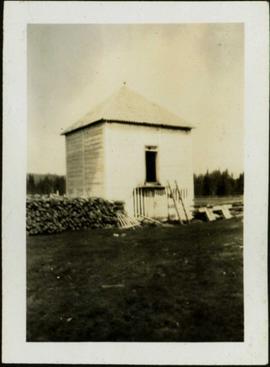
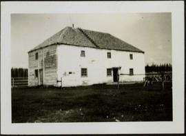
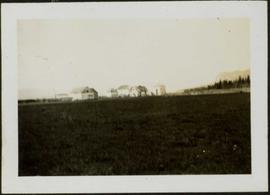
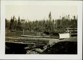
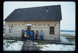
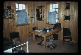
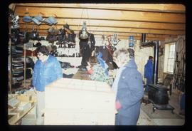
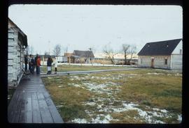
Previsualizar a impressão Fechar

Mostrar 45 resultados

Archival description
Fort St. James, BC
Previsualizar a impressão Hierarchy Ver:

41 resultados com objetos digitais Mostrar resultados com objetos digitais

Gordon Wyness and Jack Lee at Fort St. James sign

Photograph depicts (from left to right) Gordon Wyness and Jack Lee in front of the Fort St. James sign, which reads "First white settlement in British Columbia. Established by the North West Company in 1806 by Simon Fraser and John Stuart and taken over by the Hudson's Bay Company in 1821. - General Merchandise Visitors Welcome".

Trail Maps and Recreation Guides

File consists of trail maps and recreation guides from various places in British Columbia, especially Northern British Columbia. Maps include:

  • British Columbia Road Map and Parks Guide
  • Northwood Pulp and Timber Limited Forest Operations Recreation Map
  • Provincial Parks of Northern British Columbia
  • Visitor's Guide: Mackenzie Woodlands
  • Visitors Guide: Mackenzie Woodlands
  • Mackenzie Forest District Recreation Map
  • Dawson Creek Forest District Recreation Map
  • Morice Forest District Recreation Map
  • Fort St. James Forest District Recreation Map
  • Lakes Forest District Recreation Map
  • Cariboo Forest Region Recreation Map
  • Lakes District Visitors Map
  • Prince George Forest District Recreation Map
  • Vanderhoof Forest District Recreation Map
  • Fort St. John Forest District Recreation Map
  • Cariboo Forest Region Recreation Map (East)
  • Robson Valley Forest District Recreation Map
  • Fort Nelson Forest District Recreation Map
  • Forest Service Recreation Sites: Valemount - Blue River
  • Forest Service Recreation Sites: McBride - Goat River
  • Forest Service Recreation Sites: Prince George West
  • Forest Service Recreation Sites: Moberly - Sukunka
  • Forest Service Recreation Sites: Nation - Takla
  • Forest Service Recreation Sites: Murrat - Kiskatinaw
  • Recreation Road Map for the Prince George Forest Area (1987-1988)
  • Recreation Road Map for the Prince George Forest Area (1997)
  • The Bobtail Forest Service Road Tour
  • Forest Recreation Map: Northwood Pulp and Timber Limited
  • Forest Operations Recreation Map: Northwood pulp and timber limited
  • Forest Service: Recreation Sites Williston/Mackenzie
  • Forest Service Recreation Sites Prince George West
  • The Official Prince George Tourist Street Map
  • Ecological Reserves in British Columbia (July 1990)
  • Prince George Forest District map (April 1990) with annotations regarding trials.

Man at Elevated Carrier Cache

Photograph depicts man standing in front of elevated, rectangular cache made of wood. Trees stand behind log fence in background. Handwritten photo caption below photograph reads: "Indian Cache." It is believed that this photograph may have been taken near Fort St. James, BC.

Old Warehouse

Photograph depicts a large two story building in fenced area. Field spans foreground, stand of trees in background. Handwritten photo caption below photograph reads: "The old warehouse." It is believed that this photograph may have been taken at Fort St. James, BC.

Bridge over Dog Creek

Photograph depicts a short wooden bridge spanning Dog Creek mid-ground and a stand of trees in the background. There are many Dog Creeks within British Columbia, it is believed this Dog Creek is located just south of Fort St. James, BC. Handwritten photo caption below photograph reads: "Dog Creek".

Pack Dogs at Fort St. James

Photograph depicts two First Nations men and two pack dogs loaded with bags. A small group of people can be seen in distance in front of semi-visible building. Stand of trees in background. Handwritten photo caption below photograph reads: "Indians & Pack Dogs - Fort St. James."

Geographic Features

Photographs within this file document natural and artificial features across the landscape of Northern British Columbia. This landscape also includes the physical, built, urban and industrial landscapes; topography; site plans; boundaries, districts, reserves, parks, sanctuaries, towns, villages and cities, etc.

BC Rail Fort St. James

Photograph depicts a switcher and a way freight locomotive that was stationed in Fort St. James. The passenger train ran from Driftwood to Fort St. James.

Grave - Russ Baker

Image depicts the grave of Frank Russell "Russ" Baker in Fort St. James, B.C.

Tomb Stone

Image depicts an old tomb stone at an uncertain location, possibly Fort St. James, B.C.

Cemetery

Image depicts a cemetery at an uncertain location, possibly in Fort St. James, B.C.

Church Interior

Image depicts the interior of a church, likely in Fort St. James, B.C.