Item
·
10/1/1982
Part of Mary Fallis fonds
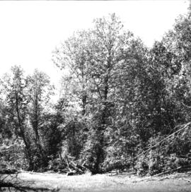
Habit of unidentified creeep invading the branches of <i>Ulmus</i>