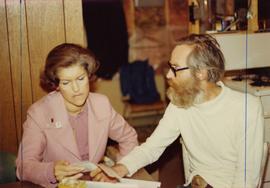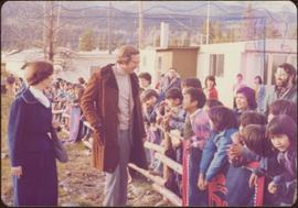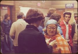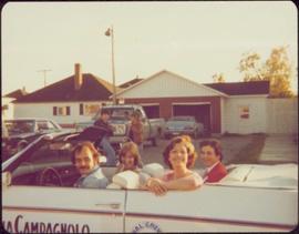
2009.6.1.62
·
Pièce
·
1974
Fait partie de The Honourable Iona Campagnolo fonds
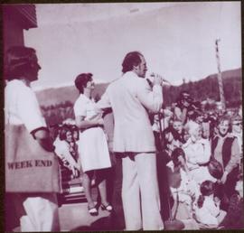
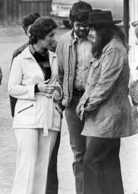
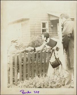
Iona Campagnolo stands holding a clipboard and a purse while a second unidentified man watches in foreground.