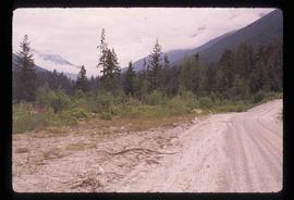
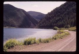
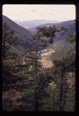
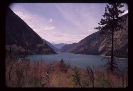
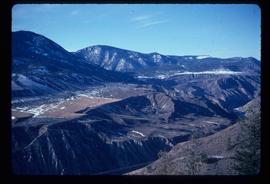
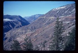
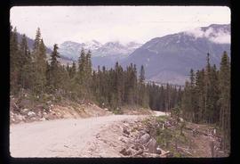
Image depicts a road somewhere near Duffey Lake.
Image depicts a road, possibly Joffre Creek Road. The slide is simply labelled "Joffre cr."
Image depicts a forest and a road, somewhere near Duffey Lake.
Image depicts the Lillooet River delta at the head of Lillooet Lake.
Image depicts a road leading into a First Nations' Reserve at the head of Harrison Lake.
Image depicts the start of Joffre Creek Road, most likely somewhere in the Joffre Lakes Provincial Park.
Image depicts the head of Lillooet Lake.
Image depicts the Lillooet River at the head of Lillooet Lake.
Image depicts a view of the lower Cayoosh Valley.
Image depicts a view of Cayoosh Valley. Cayoosh Creek is visible in the bottom left corner of the image.
Image depicts a bridge over Cayoosh Creek.
Image depicts Cayoosh Creek from a bridge in Cayoosh Valley.
Image depicts a view of Cayoosh Valley.
Image depicts a view of the scenery surrounding Cayoosh Creek.
Image depicts a mountain side in Cayoosh Valley.
Image depicts a view of the scenery surrounding Cayoosh Creek.
Image depicts Cayoosh Valley.
Image depicts a view of the scenery surrounding Cayoosh Creek.
Image depicts an old earth flow somewhere near Pavilion, B.C.
Image depicts the Moran Canyon; the Fraser River is visible near the bottom.
Image depicts an old earth flow in Moran Canyon, somewhere in the Lillooet area.
Image depicts a view of Moran Canyon in the Lillooet area. The Fraser River is visible on the left.
Image depicts a view of Moran Canyon in the Lillooet area.
Image depicts two bridges over the Fraser River, located somewhere in Lillooet, B.C.
Image depicts a view of Lillooet, B.C.
Image depicts the Fraser River near Lillooet, B.C.
Image depicts rows of water, possibly being irrigation ditches, somewhere in Lillooet, B.C.
Image depicts an old church located somewhere in Lillooet, B.C.
Image depicts Lillooet, B.C.
Image depicts a view of Kelly Lake in Downing Provincial Park.
Image depicts a view of Kelly Lake Valley from Pavilion Mountain.
Image depicts the road to Pavilion Mountain.
Image depicts the remains of an old bridge, somewhere near Pavilion Mountain.
Image depicts the First Nations village of Pavilion, B.C.
Image depicts a view of Seton Lake, located near Lillooet, B.C.
Image depicts a view of the Fraser River, as well as a road and railroad, near the Moran Canyon.
Image depicts an area around Lillooet, B.C. It is possibly the Fraser River running through the Moran Canyon.
Image depicts what is possibly the Fraser River running through the Moran Canyon near Lillooet, B.C.
Image depicts the Moran Canyon near Lillooet, B.C.
Image depicts the Fraser River running through the Moran Canyon near Lillooet, B.C.