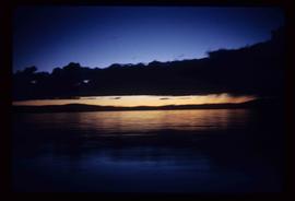
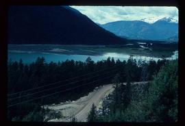
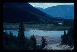
Image depicts light from an unidentified light-source shining on a long, vertical object of an uncertain nature, though it is possibly a tree. The rest of the image is too dark to make out.
Image depicts Carp Lake at dusk.
Image depicts a low rain cloud over Carp Lake, and a man on a boat on the lake.
Image depicts a low rain cloud over Carp Lake.
Image depicts two boats on the shore of Carp Lake.
Image depicts a man holding a chain of fish on the shore of Carp Lake.
Image depicts a campsite on the shore of Carp Lake.
Image depicts a green canoe sitting in the water on the shore of Carp Lake.
Image depicts a group of people preparing to depart on a trip. Location is uncertain, though it is possibly in Prince George, B.C.
File contains slides depicting images of areas in the Carp Lake Provincial Park.
Image depicts a deer on a path somewhere near Bralorne, B.C.
Image depicts an area of Barlone, B.C. surrounded by trees.
Image depicts a row of houses in Bralorne, B.C.
Image depicts the old sales office of Bralorne Pioneer Mines Ltd. which is now the Bralorne Pioneer Museum.
Image depicts a few boarded-up buildings in Bralorne, B.C.
Image depicts a church and a row of houses in Bralorne, B.C.
Image depicts a row of houses in Bralorne, B.C.
Image depicts what is possibly an old, rundown mill in Bralorne, B.C.
Image depicts several houses in Bralorne, B.C.
Image depicts what is possibly an old, rundown mill in Bralorne, B.C.
Image depicts Bralorne, B.C.
Image depicts what appears to be a motel somewhere near Bralorne, B.C.
Image depicts a view of the land surrounding Bralorne, B.C.
Image depicts a hotel in what appears to be a small community, possibly an outlying area of Bralorne, B.C.
Image depicts the Lajoie hydroelectric generating station at the Lajoie Dam on the Bridge River (view of powerhouse and tailrace from top of dam).
Image depicts the Lajoie Dam on the Bridge River, upstream side, showing part of Downton Lake and, in the foreground, the spillway intake.
Image depicts Downton Lake, the Lajoie Dam reservoir.
Image depicts the Lajoie Dam on the Bridge River from the upstream side.
Image depicts the Terzaghi Dam viewed from the downstream side near Bralorne B.C.
Image depicts the Bridge River No. 1 hydroelectric station on the shore of Seton Lake (rear side of powerhouse).
Image depicts a creek somewhere near Bralorne, B.C.
Image depicts a river somewhere near Bralorne, B.C.
Image depicts a river full of logs, somewhere near Bralorne, B.C.
Image depicts what is possibly the remaining traces of a small land or rock slide; located somewhere near Bralorne, B.C.
Image depicts a camper passing under an overhang as it drives along a narrow road near a cliff; located somewhere near Bralorne, B.C.
Image depicts a river running through a valley-like area somewhere near Bralorne, B.C.
Image depicts a camper parked on the side of a narrow road along a cliff as another car approaches; located somewhere near Bralorne, B.C.
Image depicts a river on the left of the image and a range of mountains in the distance, located somewhere near Bralorne, B.C.
Image depicts a car on a dirt road leading through a forest.
Image depicts a dirt road leading through a forest.
Image depicts a dirt road leading through a forest with what appears to be an area for turning around at the end.
Image depicts an elevated view of a river near Bralorne, B.C.
Image depicts a dirt road somewhere near Bralorne, B.C.
Image depicts a view of a river near Bralorne, B.C.