File consists of notes and reproductions relating to the East Line Section of the Grand Trunk Pacific Railway in Central British Columbia.
This map is part of Schedule B of the 1993 Official Community Plan, Bylaw No. 5909 for the City of Prince George. This particular map reflects the 1998 amendment to the Official Community Plan.
File consists of notes, clippings, and reproductions relating to contemporary and historical land surveying in British Columbia, includes material on Hunter Joseph who surveyed Quesnel to Salmon River in 1874; F.P. Burden and the surveying of the Cariboo District; and Mr. J.D. Pemberton, the colonial surveyor in 1851. File primarily consists of Kent Sedgwick's handwritten notes on land surveying in British Columbia and printed search results for the College of New Caledonia and BC Archives on land surveying. Includes: "Owning land: what you should know" pamphlet published by The Canadian Council of Land Surveyors (2004) and "Survey Systems in BC" email chain between Kent Sedgwick and John Whittaker, a B.C. Land Surveyor, discussing past land survey systems and surveyed areas in British Columbia (6 Oct. 2009).
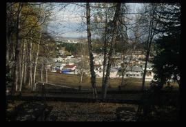
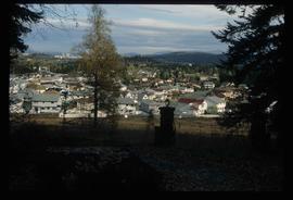
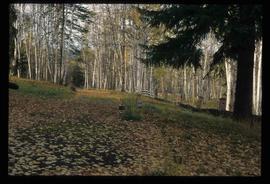
Image depicts a Prince George residential area from the viewpoint of the Ginter Property.
Image depicts a Prince George residential area from the viewpoint of the Ginter Property.
Image depicts the Ginter Property in Prince George, B.C.
File consists of notes and reproductions for use by Kent Sedgwick for lectures. Includes: "Annual Meeting Western Division Canadian Association of Geographers" conference program and abstracts (7-8 Mar. 1997).
File contains slides depicting Sechelt, B.C.
Item is an original 1996 folding brochure map depicting circle tours in the Prince George area. The map was published by the Prince George Region Development Corporation.
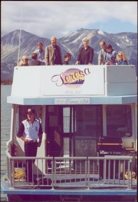
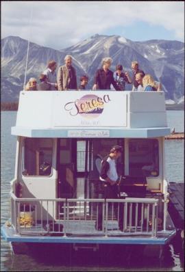
Left to right: Deborah Poff, Dennis Macknak, Charles Jago, an unidentified woman, Iona Campagnolo, an unidentified man, Ellen Facey, and an unidentified woman. Unknown man stands on lower deck in foreground. Mountains visible in background. Photograph taken during the Chancellor's 1996 regional tour through Atlin and Whitehorse; see also items 2009.6.1.578 - 2009.6.1.581.
Handwritten annotation on verso reads: "#3 Chancellor's Tour".
Left to right: Deborah Poff, Dennis Macknak, Charles Jago, an unidentified woman, Iona Campagnolo, Ellen Facey, Nick Petraryszak, an unidentified man, and an unidentified woman. Unknown man stands on lower deck in foreground. Mountains visible in background. Photograph taken during the Chancellor's 1996 regional tour through Atlin and Whitehorse; see also items 2009.6.1.578 - 2009.6.1.580.
File consists of notes and reproductions relating to Brett & Hall landscape architecture and urban planning in Canada. File predominantly consists of photocopies of articles relating to urban planning, including "The Influence of Thomas Adams and the British New Towns Movement in the Planning of Canadian Resource Communities" by Oiva Saarinen; "Thomas Adams and the Commission of Conservation" by Alan H. Armstrong; "The Laying Out of Towns" by W.H. Dorsey; "The Relation of the City Engineer to Public Parks" by John C. Olmsted; "The Planning of Company Communities in the Lake Superior Mining Region" by Arnold R. Alanen; and "Planning the Canadian Environment" by L.O. Gertler.
File consists of notes and reproductions relating to Foley's Cache (later Island Cache and now Cottonwood Island Nature Park) in Prince George. Includes: "Foley's Cache" typed document by Kent Sedgwick (2 Feb. 1996). Includes photographs depicting a sign describing Foley's Cache and historical photographs of Foley's Cache.
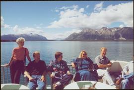
Left to right: Chancellor Iona Campagnolo, Nick Petraryszak, Ellen Facey, unidentified woman and men. Mountains visible in background. Photograph taken during the Chancellor's 1996 regional tour through Atlin and Whitehorse; see also items 2009.6.1.578 - 2009.6.1.581.
File consists of notes, clippings, and reproductions relating to the City Beautiful movement across North America. File predominantly consists of photocopied articles: "The City Beautiful" by Fredrick Law Olmsted, Jr.; "The Plan of Chicago 1909" by Amy Diadamo; "Vancouver and the City Beautiful Movement" by Rodger Todhunter; "The Urbanization of America" by Blake McKelvey; and "The Rise of Modern Urban Planning" by Anthony Sutcliffe. File also includes an issue of the "Journal of the Society for the Study of Architecture in Canada", Vol. 32 No. 1 (2007).
File consists of notes and reproductions relating to the Nechako cutbanks in Prince George. Includes: "The Cutbanks" typed document by Kent Sedgwick (1 Feb. 1996). File also includes a photograph depicting heritage river trail signs erected at the cutbanks and describing the significance of the cutbanks in Prince George (1996).
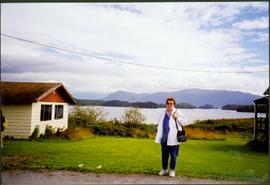
Bridget Moran stands on road, unidentified buildings behind on either side. Lake and hills on opposite shore in background. Photo believed to be taken at Metlakatla Lake, B.C. Building on left speculated to be the St. Paul's Anglican Church Learning Centre.
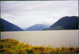
Photograph depicts unknown lake. Grassy shore in foreground, mountains in background.
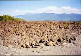
Photograph depicts what appears to be a lava bed, see item 2008.3.1.22.33.
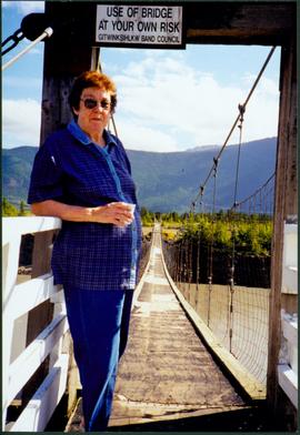
Photograph depicts Moran standing in front of bridge featuring a sign reading "USE OF BRIDGE AT YOUR OWN RISK / GITWINKSIHLKW BAND COUNCIL". River below, hills on opposite shore in background.
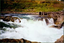
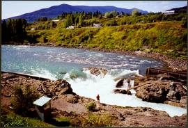
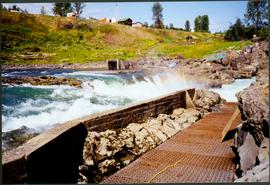
Photograph depicts white rapids at bottom of waterfall in Bulkley River, B.C. Fishing territory visible on far right; hill on opposite shore in background.
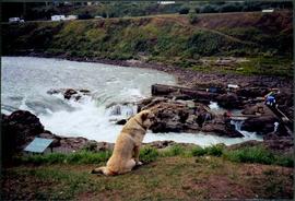
Photograph depicts dog seated on grass in foreground. Unidentified individuals visible below with fishing nets in waterfall area at Moricetown Canyon.
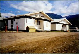
Photograph depicts two white buildings, one with the sign "Nisga'a Government Administration building". Road in foreground, vehicles and hills in background.
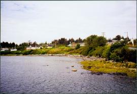
Photograph depicts water in foreground, bayside village in background.
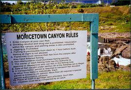
Photograph depicts sign in foreground outlining rules and restrictions for behaviour at Moricetown Canyon. Traditional fishing territory visible behind sign at waterfall in the Bulkley River, B.C. Highway and buildings can be seen in background.
Photograph depicts an unidentified individual standing on cliff above waterfall at Bulkley River, B.C. Fishing territory visible below; highway, buildings, and hills visible in background.
Photograph depicts fishing territory at waterfall rapids in Bulkley River, B.C. Highway and buildings on opposite shore in background.
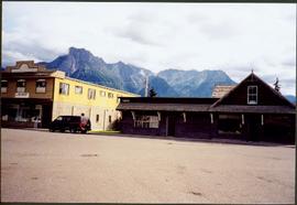
Photograph depicts two large buildings across street in foreground, van visible on left.
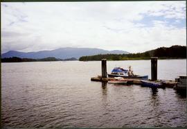
Photograph depicts small boats tied at dock on lake with mountains visible in background.
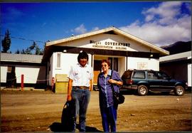
Photograph depicts Bridget Moran standing beside unidentified man in front of white building with the sign "Nisga'a Government Administration building". Suburban parked in front of building, trees and mountains visible in background.
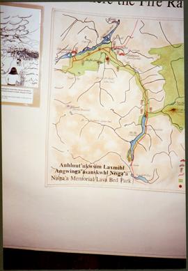
Photograph depicts colour map displayed in unknown area, second poster semi-visible on left. See item 2008.3.1.22.34 for image believed to depict lava bed.
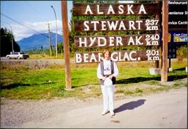
Woman stands in front of sign that reads "ALASKA / STEWART 237 km / HYDER AK. 240 km / BEAR GLAC. 201 km". Second sign in background indicates restaurant, convenience store, and service centre. Car, road, and highway can be seen in midground; mountains in background. (This woman is also featured in item 2008.3.1.22.13).
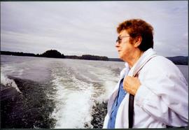
Profile of Moran, wake visible in water behind her. Opposite shore in background.
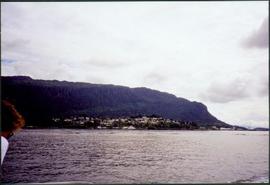
Photograph depicts unknown lake. Moran slightly visible in far left. Village can be seen on opposite shore in background.
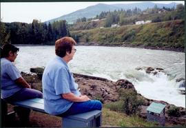
Photograph depicts Moran seated to right of woman on bench in foreground. Waterfall area at Moricetown Canyon can be seen below, behind booth labeled "MONITER BOOTH". Highway and houses visible on opposite shore in background.
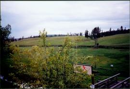
Photograph depicts landscape scene. Tree, bridge, and sign featuring cross country skier in foreground. Fence, hills, and forest in background.
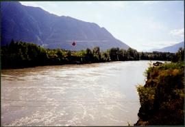
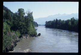
Photograph depicts wide river with forest shores on either side. Power lines in foreground, mountain in background.
Image depicts what is possibly the Nass River.
Image depicts an unidentified individual diving into a pool of water at an uncertain location.
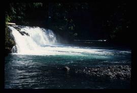
Image depicts a small waterfall at an uncertain location.
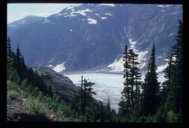
Image depicts a small section of the Bear Glacier.
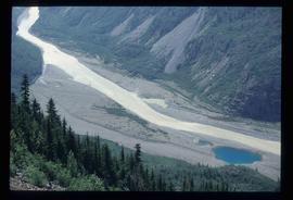
Image depicts what is possibly Bear River in the Bear Glacier Provincial Park.
Image depicts what is possibly Bear River, flowing out from an opening in the Bear Glacier.
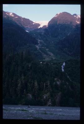
Image depicts a mountain somewhere in Bear Glacier Provincial Park.
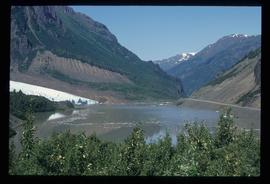
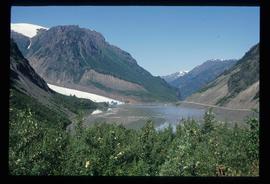
Image depicts what is possibly Bear River flowing past what is likely a section of the Bear Glacier.
Image depicts what is possibly Bear River flowing past what is likely a section of the Bear Glacier.
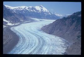
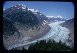
Image depicts the Bear Glacier stretching through a mountain range.
Image depicts the Bear Glacier stretching through a mountain range.
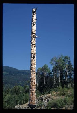
Image depicts a totem pole at an uncertain location, possibly in Gitwinksihlkw, B.C.
![City of Prince George - Schedule B of the Official Community Plan, Bylaw No. 5909 [1998 Amendment]](/uploads/r/northern-bc-archives-special-collections-1/d/6/d/d6d1c4e7e37fc948b97b3caa36447b52f7d2b76b13d45e3710aefee7b13840f0/2023.5.1.33_-_1998_Official_Community_Plan_City_of_PG_JPG85_tb_142.jpg)
