2020.08.25
·
Item
·
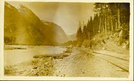
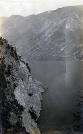
[between 1913 and 1923]
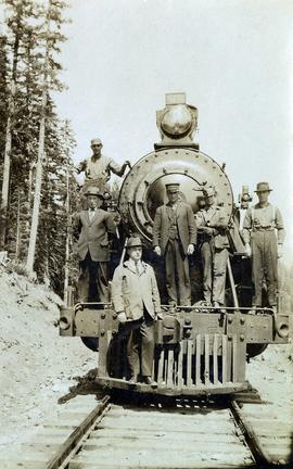
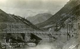
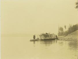
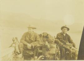
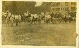
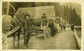
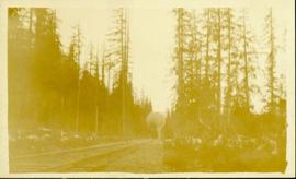
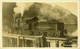
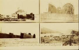
Part of Pacific Great Eastern Railway Region Photograph Collection
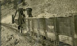
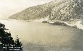
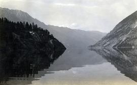
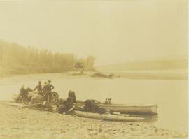
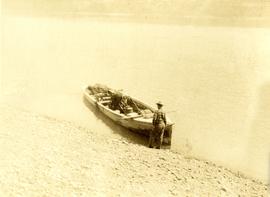
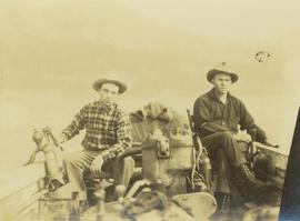
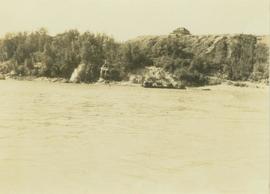
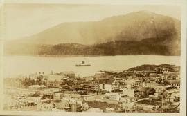
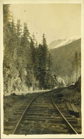
Photograph depicts a Pacific Great Eastern Railway tunnel along Anderson Lake. The current railway mileage for the location is 125.6 (historical mileage point would have differed). The location is 3.7 miles north of D'Arcy, near the southern end of Anderson Lake. This photograph was likely taken from vantage point of the summer-only Highline Road.