2013.6.36.1.102.20
·
Item
·
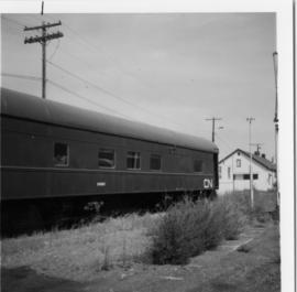
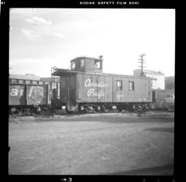
[3 June 1989]
Part of David Davies Railway Collection
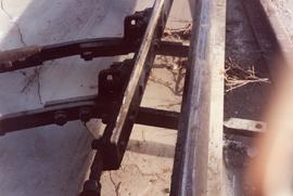
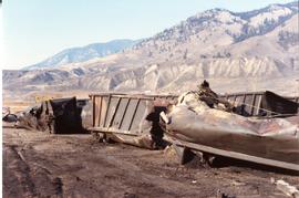
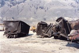
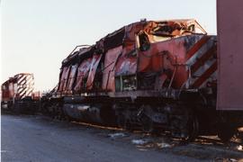
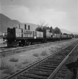
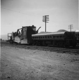
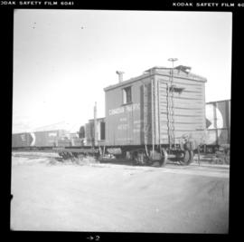
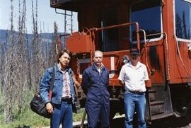
Photograph depicts a caboose that had just reached a terminal relief switch at Blue River. It was eastbound and contained 103 empty grain cars. Taken at the Kamloops Junction.