File consists of a speech given by Gary Runka entitled "Agricultural Land and Its Management".
Commentary by Barry Smith of the Ministry of Agriculture and Lands:
"This paper has no indication of the audience or date but given that there are several references to 1990 reports, it probably dates to 1991.
Although the scope of this paper is national in several aspects, its primary focus is on the B.C. farmland preservation efforts.
Comment is made on the question of farmland being regarded as a 'commodity' vs 'scarce resource'. GGR draws upon a theme found in other speeches and papers when he notes that 'To some degree, the call for a new "foodland ethic" is based upon the belief that public policy should more adequately take into account the social value of foodlands, quite apart from the dollar value...."
The paper is broken into several sections:
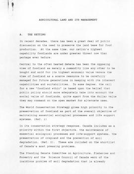
(A) The Setting;
(B) Agricultural Land Loss, (which includes some excellent statistics - p. 2-3)
(C) Some Agricultural Management Issues,
(D) Action Response (this section briefly reviews farmland preservation efforts in each province with a particular emphasis on B.C. p. 5-6),
(E) The Future.
GGR lists the following action steps that BC should pursue:
- Repeal ALC Act appeals to Cabinet;
- Rescind the outright golf course use within the ALR; and
- Introduce Soil Conservation Legislation"