2020.4.2.1.53
·
Dossiê
·
Dec. 1983
Parte de G. Gary Runka fonds
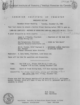
File consists of a panel moderation talk given by Gary Runka entitled "Methods of Resolving Land Use Conflicts in BC".