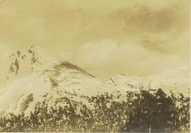
2000.1.2.1
·
Stuk
·
February 1952
Part of Cassiar Asbestos Corporation Ltd. fonds
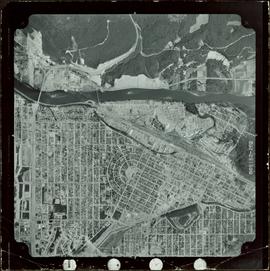
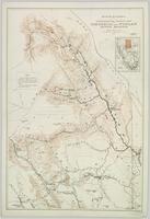
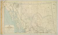
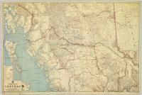
The topographic map shows mine and campsite holdings within the proposed mine site. Asbestos deposits, the tramline and water bodies, such as Troutline Creek, are also included.
Annotations include certain lot titles being crossed out as well as as indication of missing survey information.