This PDF is a digital version of a poster presented by Sanborn and Jull at the 2009 Canadian Quaternary Association conference, Simon Fraser University.
This PDF contains site location data, annotated soil profile photographs, and AMS radiocarbon dates for 2004 soil charcoal samples collected at Kluane Lake, Yukon Territory.
This file contains the following photographs in both print photograph and negative format:
Thorsen Bay
Print roll 11, #01-2A
Corresponding slides: slide roll 6, #12-10
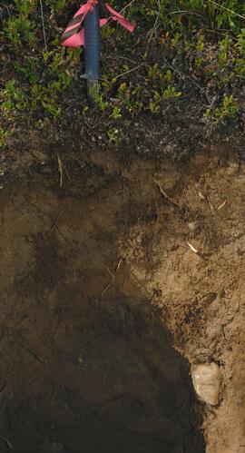
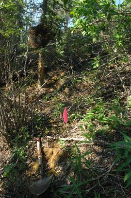
Y04-19 (27.5 km on Cultus Bay Rd., near Thorsen Bay)
Date: July 22, 2004
Location Coordinates: 61º 12’ 3.0” N, 138º 28’ 58.3’ W, 819 m asl (± 18.9 m)
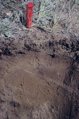
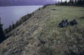
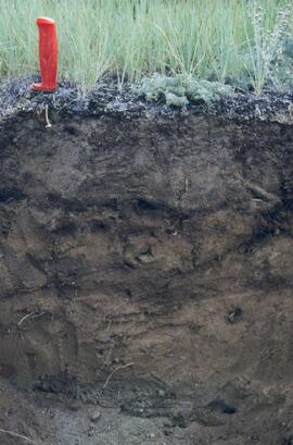
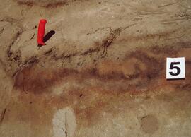
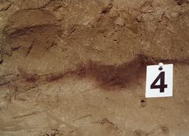
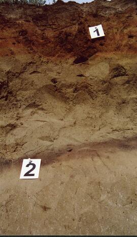
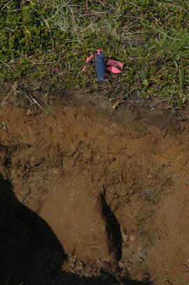
Site Description: Roadcut at base of 30º, E-facing slope. Colluviated loess overlies sandy glaciofluvial at 120 cm. Prominent paleosol with “cumulic” B horizon at 80-120 cm, with strong effervescence throughout exposure.
Print roll 11, #3A-5A (profile), #6A-10A (landscape)
Corresponding slides: slide roll 6, #9-7 (profile), #6-1 (landscape)
Sample Depths & Descriptions: Y04-19-01 – charcoal at 95 cm
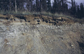
Roadcut opposite ~ 30 m to NE on grassy S aspect (10° slope) with 15-20 cm of calcareous loess and sand over 2 cm White River ash; strongly effervescent throughout.
Print roll 11, #11A-12A (profile)
Corresponding slides: slide roll 7, #36-35 (profile)
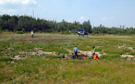
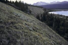
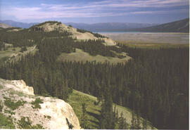
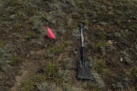
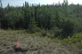
Thorsen Bay landscape
Print roll 11, #13A-16A
Corresponding slides: Slide roll 7, #34-32
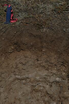
Y04-20B
Date: July 22, 2004
Location Coordinates: 61º 10’ 16.5” N, 138º 26’ 18.7’ W, 797.5 m asl (± 5.9 m)
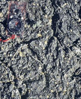
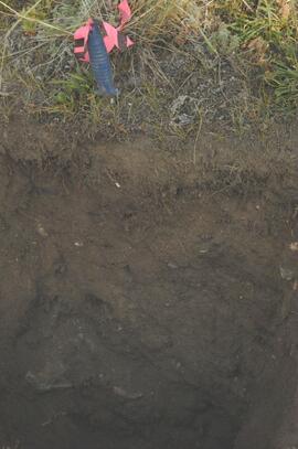
Site Description: wind-eroded Slims soil on glaciolacustrine with contorted bedding (exposed on blown-out roadcut); calcareous to surface; White R ash pockets at 10-20 cm; S aspect, 5° slope.
Print roll 11, #17A-21A
Corresponding slides: Slide roll 7, #31-26
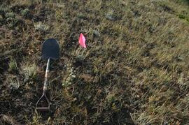
Y04-22
Date: July 22, 2004
Location Coordinates: 61º 9’ 39.24” N, 138º 25’ 7.8’ W, 790.6 m asl (± 6.4 m)
Site Description: toe of 30° slope, W aspect (grassy slope with poplar at toe); 1.0-1.2 of colluviated loess over gravelly glaciofluvial with buried soil at 70-80 cm
Print roll 11, #22A-24A
Corresponding slides: Slide roll 7, #25-24
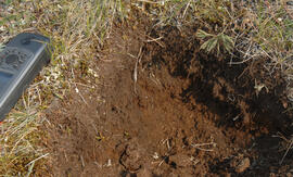
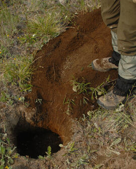
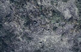
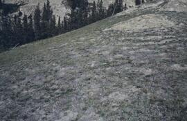
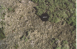
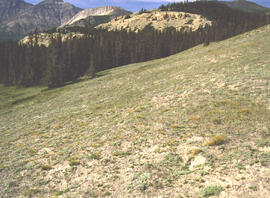
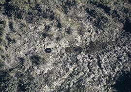
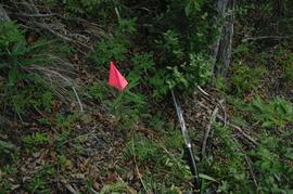
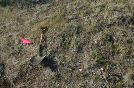
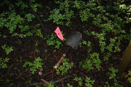
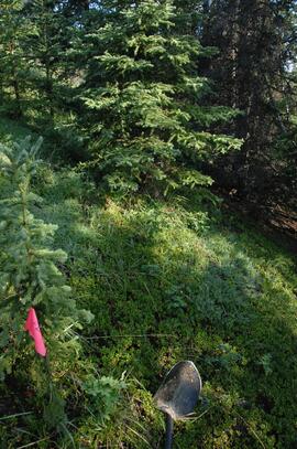
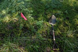
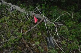
Photograph depicts a Kluane Lake transect 1 location.
Photograph depicts a Kluane Lake transect 1 location.
Photograph depicts a Kluane Lake transect 1 location.
Photograph depicts a Kluane Lake transect 1 location.
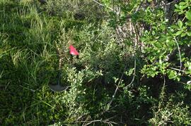
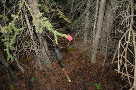
Photograph depicts a Kluane Lake transect 2 location.
Photograph depicts a Kluane Lake transect 2 location.
Photograph depicts a Kluane Lake transect 2 location.
Photograph depicts a Kluane Lake transect 2 location.
Photograph depicts a Kluane Lake transect 2 location.
Photograph depicts a Kluane Lake transect 2 location.
Photograph depicts a Kluane Lake transect 2 location.
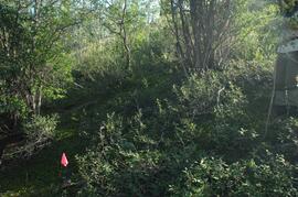
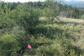
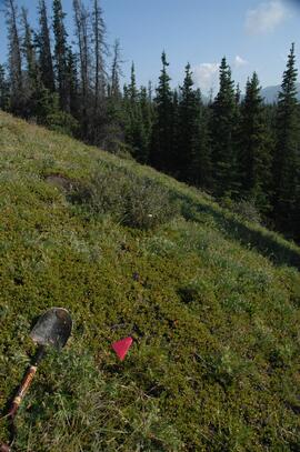
Photograph depicts a Kluane Lake transect 3 location.
Photograph depicts a Kluane Lake transect 3 location.
Photograph depicts a Kluane Lake transect 3 location.
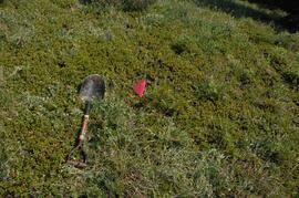
Photograph depicts a Kluane Lake transect 3 location.
Photograph depicts a Kluane Lake transect 3 location.
Photograph depicts a Kluane Lake transect 3 location.
Photograph depicts a Kluane Lake transect 3 location.
Photograph depicts a Kluane Lake transect 3 location.
Photograph depicts a Kluane Lake transect 3 location.
Colour-coded map dividing Northwestern British Columbia, the Western Northwest Territories, and the Yukon physiographically.
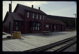
Image depicts the train station in Carcross, Y.T.
Image depicts the river which runs through Miles Canyon, located near Whitehorse Y.T.
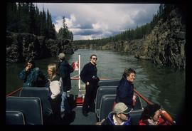
Image depicts several unidentified individuals on a boat in the Miles Canyon near Whitehorse Y.T.
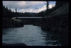
Image depicts the Robert Lowe Bridge, built in 1922, in the Miles Canyon near Whitehorse Y.T.
File contains slides depicting locations along the White Pass railway through Alaska, British Columbia, and the Yukon Territories.
File consists of records created and accumulated by Gary Runka over the course of his consultancy work for Department of Indian Affairs and Northern Development for the "Impact Analysis of Proposed Mining Road Access, Casino Trail" project in Carmacks, Yukon. This file was numbered as G.G. Runka Land Sense Ltd. client file #144; that client number may be seen referenced elsewhere in the G. Gary Runka fonds. The Land Sense Ltd. client files generally include records such as correspondence, contracts, invoices, project reports, publications, ephemera, memoranda, maps or map excerpts, legal documents, meeting materials, clippings, and handwritten notes.
Includes the following reports:
- Government of Yukon Department of Community and Transportation Services, "Proposed Casino Trail Route Location and Terrain Analysis Study", January 1986
- Casino Trail Project Advisory Committee, "Summary Report", Dec. 1985
- Spencer Environmental Management Services Ltd. for Indian and Northern Affairs Canada, "Socio-Economic/Environmental Overview for Proposed Casino Trail", December 1985.
Maps include:
- "Casino Trail Key Plan", Yukon Department of Community and Transportation Services, 17 Oct. 1985;
- Annotated section of NTS map "Snag, Yukon Territory";
- Annotated NTS map "Carmacks, Yukon Territory";
- Untitled Casino Trail area, Spencer Environmental Management Services Ltd. - 2 copies;
- "(2116) MacMillan River World Aeronautical Chart", Canada Department of Mines and Technical Surveys, 1965;
- Annotated combined duplicated copies of NTS maps for Snag and Carmacks, Yukon Territory;
- Untitled soil map for Casino Trail area, possibly by G.G. Runka Land Sense Ltd., n.d.;
- Copy of combined annotated NTS maps for Carmacks, Rowlinson Creek, and Mount Nansen, Yukon Territory showing soil types, possibly by G.G. Runka Land Sense Ltd.
