2012.13.1.50.099
·
Item
·
1980
Part of J. Kent Sedgwick fonds
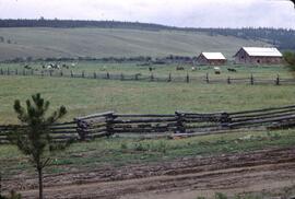
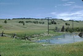
Image depicts a log house at an uncertain location; the slide is simply labelled "Cariboo."