Victoria, B.C.
Parliament Buildings, Victoria, B.C.
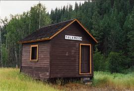
Photograph depicts a shed in Tulameen.
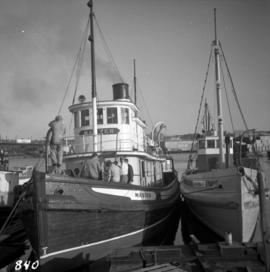
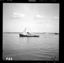
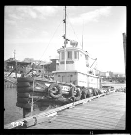
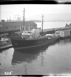
Photograph depicts a steam tugboat named "Master" owned by the World Ship Society (Vancouver Chapter). Photograph taken during Carnival and Regatta week in Vancouver.
Photograph depicts a steam tugboat named "Master" owned by the World Ship Society (Vancouver Chapter). Photograph taken during Carnival and Regatta week in Vancouver.
Photograph depicts a steam tugboat named "Master" owned by the World Ship Society (Vancouver Chapter). Photograph taken during Carnival and Regatta week in Vancouver.
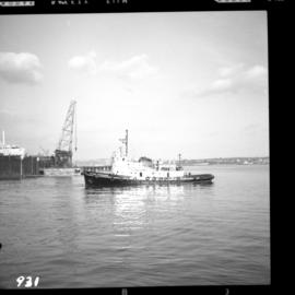
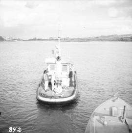
Photograph depicts the tugboat "Island Sovereign" going to turn starboard after backing out from the dock. The view is looking southeast.
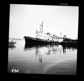
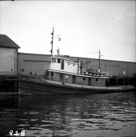
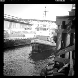
Photograph depicts the tugboat "Island Sovereign" moored at a dock in North Vancouver, 200 yards west of the Burrard Dry Dock, 2 days in service after refit.
Photograph depicts the tugboat "Island Sovereign" backing out at North Vancouver.
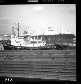
Photograph depicts the tugboat "Island Sovereign" with Burrard floating dock in the background.
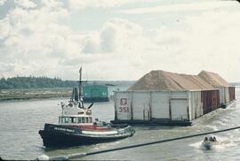
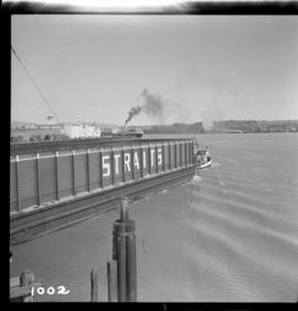
Photograph depicts the tugboat "Gulf Margaret" with a Straits scow leaving the north arm of the Fraser River and entering the main river at New Westminster, travelling upstream. The tug belongs to the Gulf of Georgia Towing Company.
Photograph depicts a tugboat named "Gillking" docked at an unknown location.
Photograph depicts the tugboat "Brunette" at Westview Harbour, Powell River. It is registered in Vancouver.
Photograph depicts a small tugboat rescuing a motor cruiser that had been swept downstream in the Annacis Channel against a bridge, about 1.5 miles southwest of the Patullo Bridge, New Westminster.
Photograph depicts a tug towing gravel scow that was used to make concrete. Photograph taken at a BCER swing bridge.
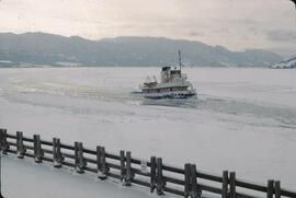
Photograph depicts Okanagan Lake completely frozen over. The winter of 1968-1969 was the last year on record in which Okanagan Lake completely froze over.
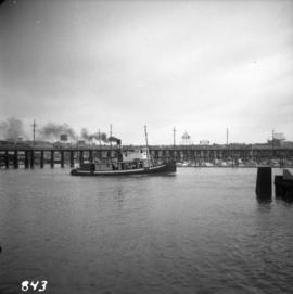
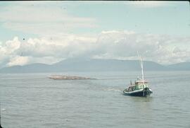
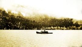
Photograph depicts an unnamed tug boat. Handwritten annotation below photograph reads, "Tug - name unknown".
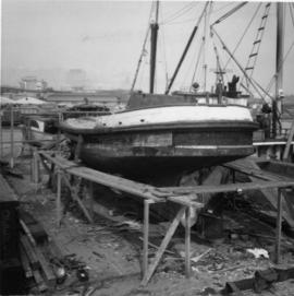
Photograph depicts a small tug being completely renovated on a floating scow.
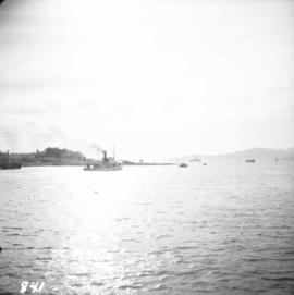
Photograph depicts a tug at Kingcome Navigation Dock in Vancouver Harbour.
Takla Lake, Northern British Columbia
Glass slide depicts a microscopic view of Mycrobacterium Tuberculosis. Annotation on slide states, "V.N. 26, Tuberle Bacilli lying in the tissue of a tuercular gland ( x2 000). (Mounted and stained by Dr. Leslie Buchanan.) Stamp on slide states, "MAKERS NEWTON & CO. 5 FLEET STREET LONDON."
Glass slide depicts microscopit acid-fast bacilli in sputum samples to diagnose tuberculosis. Slide states, "Tubercle Bacilli in Sputum (x1000), from case of ordinary pulmonary Phthisis. (Mounted and stained by Dr. Carstairs Douglas." Annotations on stamp state, "MAKERS NEWTON & CO 3 FLEET ST LONDON."
Map of Timber Sale X9696 shows the area for the TSX with the location of plots, roads, traverse posts, and the Forest Branch cabin. Location is 4 miles from the Myra Station of the Kettle Valley Railway.
Item is an original report prepared for the BC Environment and Land-Use Committee by the North Island Study Group entitled "Tsitika-Schoen Resources Study: Summary Report".
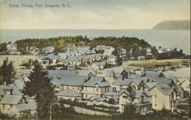
Hand coloured photograph of the surrounding lands and many residential buildings encompassing the Tsimshian village of Lax Kw'alaams (previously called Port Simpson). Printed annotation on recto reads: "Indian Village, Port Simpson, B.C."
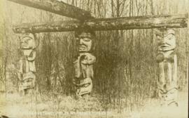
Photograph of three Tsimshian mortuary poles. Two crossed logs rest atop the three poles. Annotation on recto reads: "Indian Mortuary Poles Nr Prince Rupert BC McRae Bros."
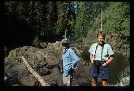
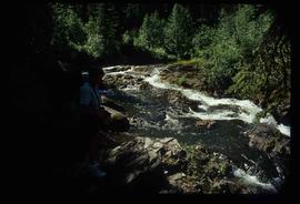
Image depicts two unknown individuals at the Tsilcoh Falls, north of Fort St. James and somewhere near Pinchi Lake Road.
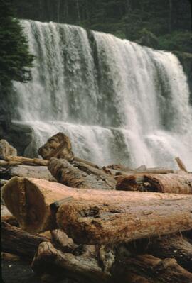
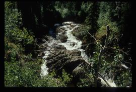
Image depicts the Tsilcoh Falls, north of Fort St. James and somewhere near Pinchi Lake Road.
Image depicts the Tsilcoh Falls, north of Fort St. James and somewhere near Pinchi Lake Road.
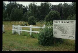
Image depicts the Tsek'enhe cemetery at McLeod Lake.
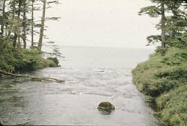
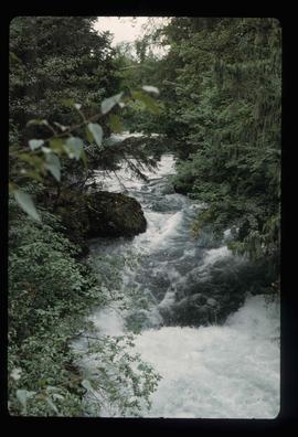
Image depicts the Tseax River.
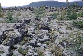
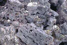
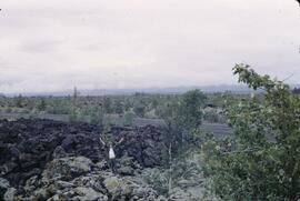
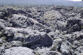
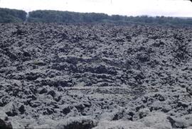
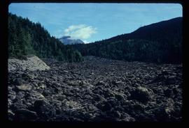
Image depicts the Tseax Lava Flow, looking up valley.
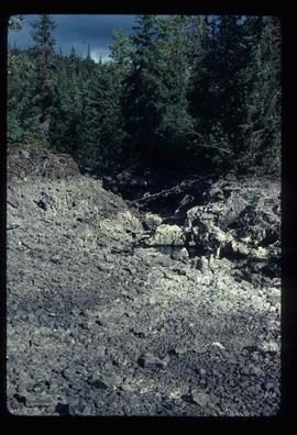
Image depicts a stream running through the Tseax lava flow.
