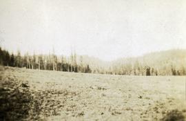
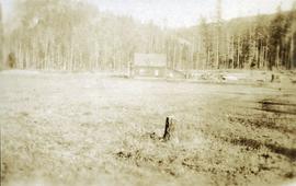
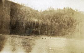
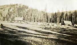
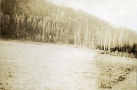
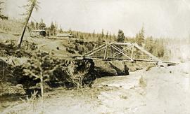
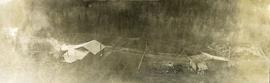
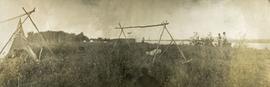
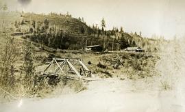
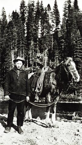
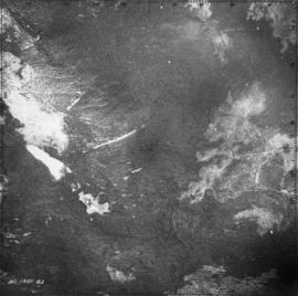
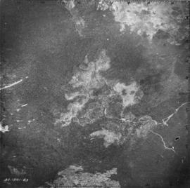
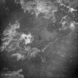
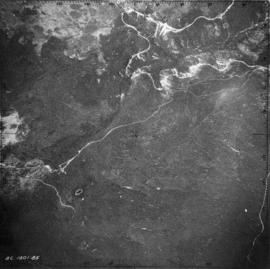
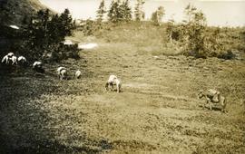
Photograph depicts packed horses walking in single file across an alpine meadow.
Photograph depicts a newly cleared field, forest and mountains in the background.
Photograph depicts a stump in the foreground, a building in the midground and forested mountains in the background.
Photograph depicts a field in the foreground, forest and mountains in the background.
Photograph depicts a field in the foreground, buildings and stumps in the midground and forest in the background.
Photograph depicts a newly cleared field, forest and mountains in the background.
Photograph depicts three or more people bathing in a stream surrounded by forest.
Annotation on photograph verso: "Summit Lake Trial EP 1162, Winter 1991/1992"
Item is a draft of "B.C. Hydro Proposed 287 kV Transmission Line - Kitimat to Terrace - Preliminary Environmental Assessment of Fish and Wildlife Values" by Grant Hazelwood. Also includes accompanying print pages for a 2015 BC Hydro powerpoint slideshow regarding the Terrace to Kitimat Transmission Project (TKTP).
Photograph depicts bears in captivity.
Photograph depicts bears in captivity. The large bear is chained by a neck collar.
Photograph depicts the bow of a boat in the foreground, lake water and low treed hills in the background.
Photograph depicts a shallow ditch cut into rocky terrain that leads through a forested landscape.
Photograph depicts a cut ditch into tertiary gravel, with a wooden mining (?) structure and a forest landscape in the background.
Photograph depicts a view possibly from a stage coach, fences and rolling hills with dry vegetation in the background.
Photograph depicts three men standing in a canoe with long poles. Canoe is floating in quiet river water, bluffs in the background.
Photograph depicts a view from the railroad looking toward the river and mountain beyond at Billings siding.
Item is an original report by Rob Cannings entitled "Biological Investigations of the Blue Rivers Headwaters Area, Wells Gray Park". Includes original photographic prints within the report.
File consists of climate station data printed from computer disks, original and photocopied soil description forms, and original copies of ecological and terrain mapping reports.
Slide depicts a black bear eating garbage by wooden outbuildings, possibly at the Aleza Lake Experiment Station.
Caption describing photograph: "Black Spruce germinator. EMK seed."
Caption describing photograph: "Black Spruce residuals (Ht 35-40', 5-9" DBH Age 80). Potentially commercial pulp wood remaining after pulp logging a fully stock 95 yrs stand of Lodgepole pine and White Spruce on imperfectly drained silty clay. Mile 6.5 Hart Highway. (Illustrate frequent occurrence of P mariana on soils other than organic muck or sphagnum bogs)."
Caption describing photograph: "Black Spruce as GBW Film 4 Frame 7 ( 2007.1.30.2.045) on left. Betula glandulosa and willow on right, resulting from fire history--foreground showing development of organic peat over clay."
Photograph depicts a view of the Blackwater bridge from downstream. The cabin, house and telegraph poles in the background.
Photograph depicts a view from above the Blackwater telegraph cabin and house. The house has a large fence garden beside, telegraph poles with wires are visible alongside the dirt road. Wood smoke drifts from the house chimney to the sparsely forested area beside.
Photograph depicts a canvas tent and wooden tent frame in the foreground, more canvas tents erected in the background. Two men carry poles on the right, while another man in center photo stands near another pole frame. There is a body of water in the background.
Photograph depicts three men standing on a bridge in the foreground, a cabin and fenced house in the midground, sparsely forested hills in the background. There are telegraph poles with wires between the bridge, cabin and house.
Photograph depicts a body of water surrounded by sparsely forested hills and low mountains.
Photograph depicts the Blackwater bridge and cabin. The forest in the foreground has been roughly cleared.
Photograph depicts a large body of water the shore edged with forest and low hills.
Item is a diagram of the bleachery and washing portion of the pulp mill.
Attached description: The two black tanks in the foreground are blow tanks for the two Kamyr digesters which tower behind them. This picture, taken from ground level, shows graphically the 210-foot height of the digesters. Chip conveyors lead in from the right. Each digester is served by a separate conveying line, providing flexibility in the type of wood used, and also ensuring that operation of one digester can continue.
Caption describing photograph: "Excellent form and growth of a blue form of White Spruce wildling. Transplanted Autumn 1964 from 10 miles South of Findlay Forks on Parsnip River. Height 13.5", 1966 growth to date 4.2", Hardened off."
Item is a photograph of a copy print, resulting in a low quality photographic reproduction. Reproduced as a print, slide, and a negative. Location of original photograph is unknown.
Bob St. Claire was an American forester who came to BC with an MF degree and some experience in the US Forest Service. He was familiar with the US Forest Experimental Stations. In 1923, as Assistant Chief Forester, he wrote a report recommending: 1) a research station centred in Victoria, and 2) an experiment station in each major forest region in the province. His recommendations were followed. In 1924, Aleza Lake Experimental Station was established and in 1929 Cowichan Lake Experimental Station was established. Bob St. Claire was Assistant Chief Forester three times, but never became Chief Forester.
Photograph depicts two men standing in center foreground, forested flat land in background.
Photograph depicts forest growth near Woodpecker Island and Stone Creek.