Series consists of maps, technical drawings, and other oversize material collected by Gary Runka that are not associated with specific Land Sense Ltd. client jobs.
Series consists of cartographic materials including maps and blueprints of the Aleza Lake Research Forest. The maps reflect permanent sample plots and other study areas. The blueprints outline details for the development of a Ranger Station.
Map reflects reserve boundary, roads, trails, 20 feet contour intervals, air photo centre, declination, swamps, and mile post at the Aleza Lake Forest Reserve.
Item is a map that distinguishes the regions covered by Tree Farm Licence No. 1 granted to Columbia Cellulose and Three Farm Licence No. 40 granted to Skeena Kraft. Major locations indicated in this map include: Prince Rupert, Terrace, Hazelton, Smithers, Kitimat, Skeena River, and Nass River. Railway routes are also shown.
Item is a photocopied map of the Aleza Lake area annotated to show transects.
Item is a reproduced map of Aleza Lake annotated to show a 1994 RFP study area.
Photograph depicts the first of three manufacturing floors in the Leigh Instruments Ltd. factory.
Noranda Inc.File consists of "Managing Your Woodland: A Non-Forester's Guide to Small-Scale Forestry in British Columbia" (1988).
File consists of a paper titled "Managing Canada's North: The Case of the Provincial North" presented by Weller at the seminar "Managing Canada's North: Challenges and Opportunities" held by the Institute of Public Administration of Canada as well as copies of the paper printed for the seminar in English and French. This file was originally numbered to correspond with conference paper number 26 listed in Weller's CV.
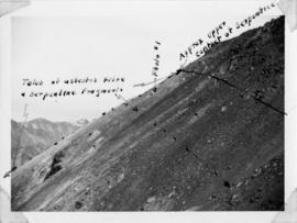
Handwritten annotation below photo on page taped to photograph: "PHOTO #2: Looking N across talus slide of asbestos fibre and serpentine fragments." Handwritten annotation on verso of photograph in blue ink describing sections of photograph which have been pointed to or outlined: "Talus of asbestos fibre & serpentine fragments -->" "Photo #1 -->" "Approx upper contact of serpentine -->".
Photograph depicts snowy mountaintop, wooden shelter and truck in foreground. Corresponding note on accompanying photo description page: "Pictures taken July 2nd, 1952. 1. Picture taken from campsite showing snow on talus."
Handwritten annotation below photo on page taped to photograph: "PHOTO #4 Face of cut 4' wide 3' deep. Showing serpentine fragments in loose asbestos fibre. Assumed to overly serpentine high in fibre veinlets. Frost action."
Handwritten annotation below photo on page taped to photograph: "PHOTO #3 Showing approx. area covered by Asbestos - serpentine float". The approximate area has been outlined in blue ink on verso of photograph. Photo taken from lower level in valley, trees in foreground, outcrop visible in distance.
Handwritten annotation below photo on page taped to photograph: "PHOTO #1: Outcrop of Serpentine showing veinlets of asbestos fibre. Wider veinlets 1/2" - 1"."
Item is an original BC Forest Service "Management Manual" that was published circa 1955 and amended many times up to 1973.
Series contains working and management plans, a policy handbook, drafts, correspondence, proposals, recommendations, revenue records, photographs, handwritten notes, maps, and planning projects.
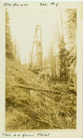
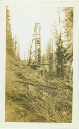
Photograph depicts a man leaning over in front of a tall wooden pile driver in a forest environment. Annotation on recto of photograph reads: "Pile driver sec.#1. This is a gravel point"
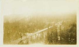
Photograph depicts a man standing in the foreground of the photo on a wooden trestle that leads through a forested landscape. Handwritten annotation on verso reads: "Tressle for carrying flume across Valley of South from Germansen Creek. This is continuous tressle for nearly 2000 feet. Maximum height 54feet."
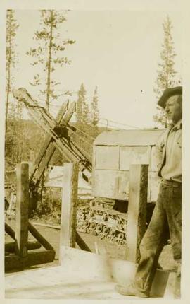
Photograph depicts an unidentified man standing on a wooden road beside a steamshovel in front of a forested landscape.
Photograph depicts an unidentified man standing on a wooden road beside a steamshovel in front of a forested landscape.
Photograph depicts an unidentified man standing on a newly constructed wooden roadway that winds through a forested landscape.
Photograph depicts an unidentified man standing on a hillside in front of a pile driver located in a forested landscape.
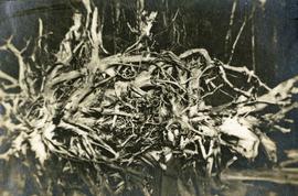
Photograph depicts a man standing near a very large driftwood root.
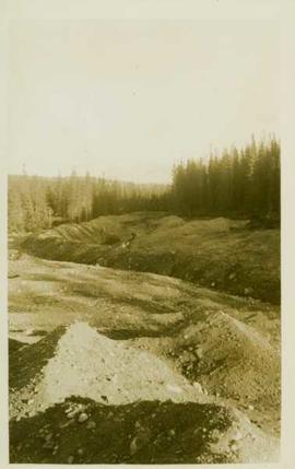
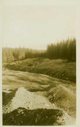
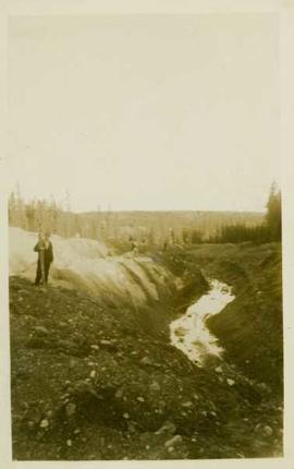
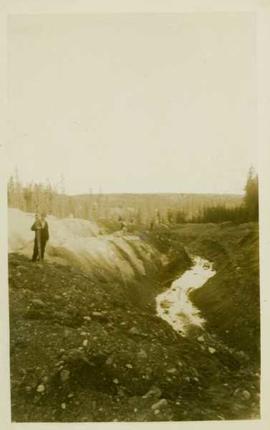
Photograph depicts unidentified man standing near mining ditches.
Photograph depicts unidentified man standing near mining ditches.
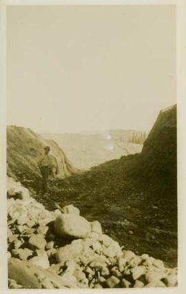
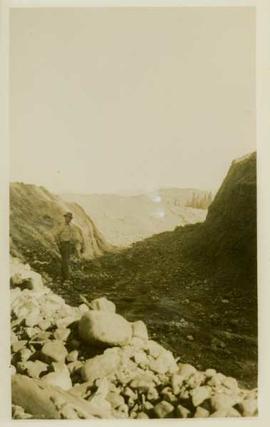
Photograph depicts an unidentified man standing in a large mining ditchline.
Photograph depicts an unidentified man standing in a large mining ditchline.
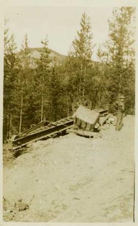
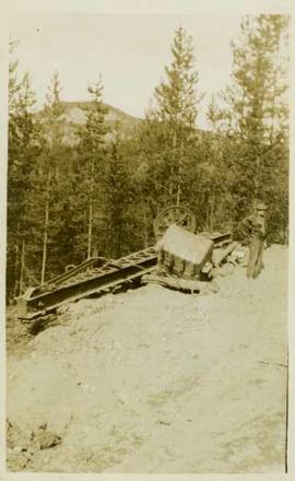
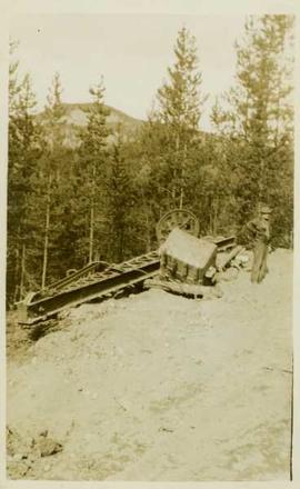
Photograph depicts an unidentified man standing beside dismantled pieces of mining equipment, in the background is a forested landscape.
Photograph depicts an unidentified man standing beside dismantled pieces of mining equipment, in the background is a forested landscape.
Photograph depicts an unidentified man standing beside dismantled pieces of mining equipment, in the background is a forested landscape.
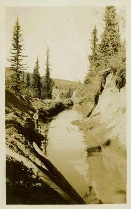
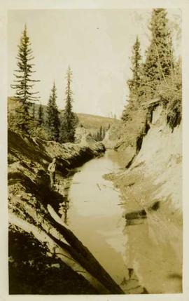
Photograph depicts an unidentified man standing beside a ditchline filled with water.
Photograph depicts an unidentified man standing beside a ditchline filled with water.
Photograph depicts an unidentified man standing at the top of water-filled ditchlines and holding onto surveying (?) equipment.
Photograph depicts an unidentified man standing at the top of water-filled ditchlines and holding onto surveying (?) equipment.
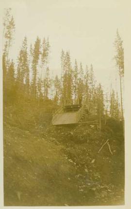
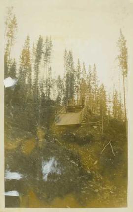
Photograph depicts an unidentified man standing at the top of an empty wooden flume (?) situated at the top of a mountainside in front of a forested landscape.
Photograph depicts an unidentified man standing at the top of an empty wooden flume (?) situated at the top of a mountainside in front of a forested landscape.
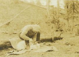
Photograph depicts an unidentified man sitting on a log skinning a goat that is laying on a blanket in front of him.
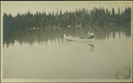
Photograph depicts one man seated in rear of canoe on still water. Trees on opposite shore in background. This man is believed to be a member of the Bourchier forestry crew.
Photograph depicts a man using crutches, this person wears glasses. There is a forest in the background.
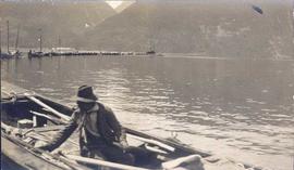
Photograph depicts a man in a fishing boat in front of a line of fishing boats being towed by a tug boat on the water with the base of a mountain in the background.
Photograph depicts a man bathing himself while standing in a small metal tub. Photograph description in album notes this as "His 'Semi Annual'" [bath]. On the left is a log structure, presumably a cache building. A large clearing surrounds the building and bathing man. There is a forest and bluff in the background. Possibly located near Giscome Portage.
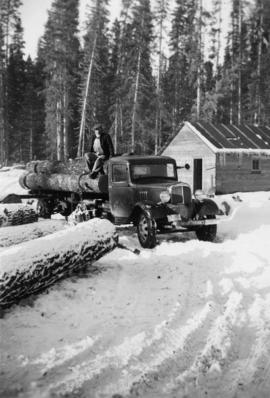
Photograph depicts a man sitting on a truck that is transporting logs at Peden Hill Sawmill.
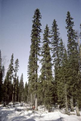
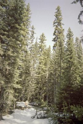
Photograph shows Aleza Lake Research Forest in spring season.
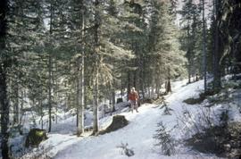
Photograph a man standing in the Aleza Lake Research Forest in spring season.
Photograph a man standing in the Aleza Lake Research Forest in spring season.
Photograph a man standing in the Aleza Lake Research Forest in spring season.
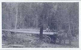
Photograph depicts six sled dogs and three men standing beside a loaded two horse wagon on a forest road.


