2009.6.13.49.0386
·
Item
·
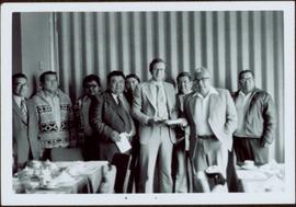
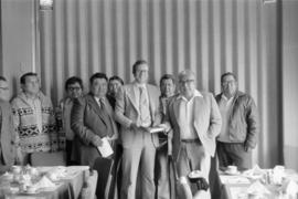
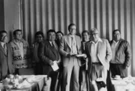
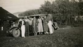
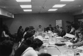
May 1977
Part of The Honourable Iona Campagnolo fonds
Many people are seated around a meeting table. Hugh Faulkner is at the head of the table, seated beside a flip chart with the word "Agenda" written at the top.