2009.6.13.49.0379
·
Item
·
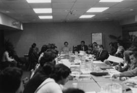
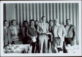
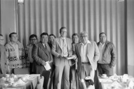
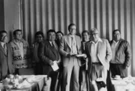
May 1977
Part of The Honourable Iona Campagnolo fonds
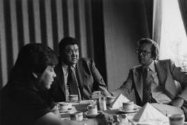
Hugh Faulkner and Kitamaat Band Council members sitting at a table talking during the Kitamaat Band North Coast District Council meeting and land claim presentation.