Showing 443 results

Archival description
192 results with digital objects Show results with digital objects
2020.4.6.540.1 · Item · June 2001
Part of G. Gary Runka fonds

Optical disc holds a full CD version of the "www.BCRock.com" website. From the home page on the disc:

"In the Central Coast Regional District of British Columbia, near the town of Bella Coola, No Cents Holdings and Arthon Construction initiated a Federal and Provincial Environmental Assessment for the purposes of permitting a rock quarry, an expansion to an existing sand & gravel quarry and a marine loading facility.
Exclusive to the CD Version ..... A Quicktime movie Greening the Gravel

Also, some bonus information related to the project and activities.
We are pleased to report in a press release dated May 9, 2001, that the companies have entered into an agreement with Polaris Minerals Corporation that gives Polaris the right to become a joint venture partner in the Bella Coola Aggregates Project.

Nuxalk Nation General Election - Results from Wednesday, Mar. 7, 2001
Congratulations to Chief Anfinn Charles Siwallace and the new councillors .... M O R E
Three public Open Houses
have been held in the Bella Coola valley.

This site went live on October 12, 2000 and will remain a work in progress.
Here you may find reports, news, project descriptions, professionals reviews, process descriptions, economic impacts, environmental reviews, archaeological reviews, geotechnical and hydrologist input, and a great many photo tours of the area."

Workshop 2, Tape 5
2020.4.6.425.6 · Item · 1996
Part of G. Gary Runka fonds

Audio cassette titled "Workshop 2, Tape 5" is believed to contain a recording of a workshop related to the Vernon commonage project.

Workshop 2, Tape 3: 3:30 pm
2020.4.6.425.5 · Item · 1996
Part of G. Gary Runka fonds

Audio cassette titled "Workshop 2, Tape 3: 3:30 pm" is believed to contain a recording of a workshop related to the Vernon commonage project.

Workshop 2, Tape 2: 2:00 pm
2020.4.6.425.4 · Item · 1996
Part of G. Gary Runka fonds

Audio cassette titled "Workshop 2, Tape 2: 2:00 pm" is believed to contain a recording of a workshop related to the Vernon commonage project.

2020.4.2.2.13 · Item · 1981
Part of G. Gary Runka fonds

Item is an original copy of the "Western Land Directors Conference Proceedings" in Victoria, BC between June 7-11, 1981. Gary Runka was a guest speaker with the speech "Agricultural Land and Land Use Decision Making in the 1980's".

2020.05.25 · Item · [Sept. or Oct. 1936]
Part of Gordon Wyness Album

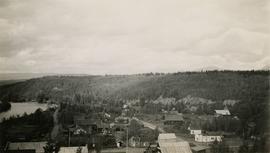
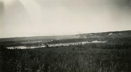
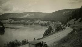
Photograph depicts a view of the city of Prince George looking west from the east hill. The confluence of the Fraser River and Nechako River is visible to the right. The Grand Trunk Pacific Railway bridge is visible at centre. The current location of where this photograph may have been taken is likely somewhere near where Highway 16 rises on the hill past the correctional centre (jail).

2020.05.08 · Item · October 1936
Part of Gordon Wyness Album

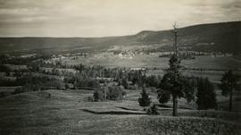
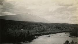
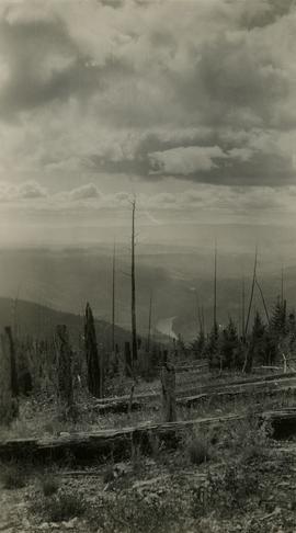
Photograph depicts a view of the Fraser River from what Wyness calls "Fraser Mountain". There are a number of places named "Mount Fraser" in British Columbia, but the exact location of where this photograph was taken is unclear.

View of Burns Lake
2020.05.53 · Item · 1936
Part of Gordon Wyness Album

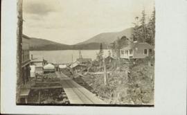
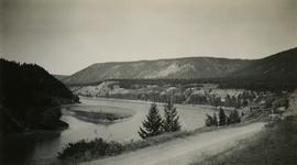
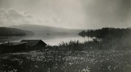
Photograph depicts a view of Burns Lake, as seen from the survey crew's temporary lodgings at the cabin of Ben[?] Smith. Wyness notes in the photograph transcription that float planes landed in the bay below the buildings visible in this image.

Van Bow Existing Zoning
2023.5.1.12 · Item · Apr. 1977
Part of UNBC School of Planning and Sustainability fonds

Item is a hand drawn and coloured map by the City of Prince George Planning Department depicting existing zoning for the Van Bow neighbourhood area. Also includes two hand-drawn mylar overlays for the map; one showing "Opportunities & Constraints" such as housing age and condition and the other showing "Subdivision Activity" over decades of development in the Van Bow area.

2012.13.2.02.33.18 · Item · [1990?]
Part of J. Kent Sedgwick fonds

The item is a reproduction of a survey map drafted in 1909. The reproduction was likely created in 1990. The area covered is South of Fort George Avenue, East of Fraser Street, North of Mount Stephen Avenue, and West of Simpson Street. Annotations state, "Pl. 649."

2012.13.2.02.33.05 · Item · [1990?]
Part of J. Kent Sedgwick fonds

The item is a reproduction of a survey map drafted in September 1909. The reproduction was likely created in 1990. The annotations highlight owners of different lots up to approximately 1959. Th area covered is North of Fifteenth Avenue, East of Irwin Street, South of Eighth Avenue and West of Carney Street. Annotations on attached papers indicate different means of scale and measurement for the map.

Town of Clinton
2020.05.39 · Item · 1936
Part of Gordon Wyness Album

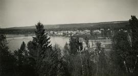
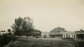
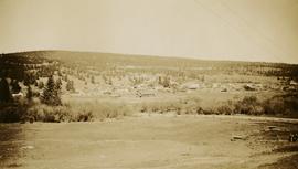
Photograph depicts the town of Clinton. Wyness noted on the photograph verso that the survey crew had dinner here on their return trip in October 1936. In addition, the album caption notes that Clinton was the location of British Columbia's oldest hotel.