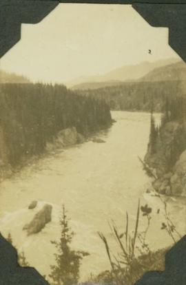
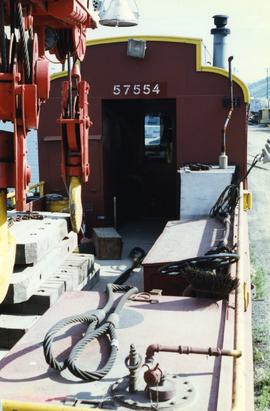
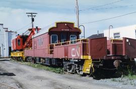
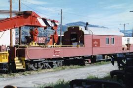
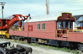
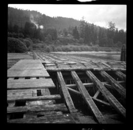
Photograph depicts an abandoned 3-track wharf leading to a north running connection with the Esquimalt & Nanaimo Railway. It connected on mile 85. The trackage beyond the wharf had recently been remove while the wharf itself had not been evidently been used for many years.
Photograph depicts an abandoned wharf with rail trackage that formerly led to the Esquimalt & Nanaimo Railway.
Caption: "Deserter Canyon"
Photograph depicts the design for the coin commemorating the 1978 XI Commonwealth Games in Edmonton Alberta. Design details both sides of the coin.
Item is an original booklet entitled "Desolation Sound Marine Park Proposal" issued by the BC Parks Branch, Department of Recreation and Conservation.
This photo was taken at a public presentation co-sponsored by Canfor and Northwood introducing the company's "Prince George Air Quality Monitoring System".
<i>Saxifraga</i>, Nunavut
Photograph depicts two pick hammers laid in asbestos fibre. Annotations on note glued to recto of photograph: "ASBESTOS"; "Detail view of asbestos talus. Early test pit near top of showing. Western slope." Areas of image have been labeled "A" and "B". Photo caption under printed copy of image in 1952 Annual Report: "A - Asbestos fibre partially opened by frost action. B - Serpentine rock originally containing the asbestos fibre."
Photograph depicts a spare crane and an idler car.
Photograph depicts a spare crane and an idler car. Visible are the details of the rear end of the idle car.
Photograph depicts details of a CN derailment that occurred in Kamloops.
Photograph depicts the details of 3 axle trucks and car steps.
Photograph depicts details of a spout on a preserved water tank.
Consists of 1 report entitled "Assignment Report on Medical Education: Development of a Protocol for the Study of the Utilization of Doctors in Ceylon: WHO Project: Ceylon 0047," by Dr. David G. Fish, WHO Short-Term Consultant.
Item is a photocopied version of Slavoj Eis' "Development of White Spruce and Alpine Fir Seedlings on Cut-Over Areas in the Central Interior of British Columbia" reprinted from The Forestry Chronicle, December 1965, Vol. 41, No. 4.
A b&w plan drafted on a tracing paper illustrating subdivision of a region. McKenzie Drive, Braefoot Rd. are identified on the plan. Produced by Central Planning and Management Consulting LTD Prince George
A b&w plan drafted on tracing paper re subdivision of an unidentified region. Dawn View Cr., Gordon Head Road, Edgelow St. are identified on the plan. Produced by Central Planning and Management Consulting LTD. Prince George BC
4 b&w plans which represent development of an area outside of A.L.R. They are produced by Central Planning and Management Cons. LTD. Cariboo Highway, Woolrich farm, Stone Creek and Fraser River are identified on the plan.
A b&w plan represents development plan of an area outside of A.L.R. It is produced by Central Planning and Management Cons. LTD. Cariboo Highway, Woolrich farm, Stone Creek and Fraser River are identified on the plan.
Two plans: one colour and one B&w, represent development plan of an area. produced by Central Planning and Management Cons. LTD. Cariboo Highway, Woolrich farm, Stone Creek and Fraser River are identified on the plans.
Item is a map of Prince George Wood Preserving Ltd. Development Plan Forest Licence A27771 for the period of January 1, 1986 to January 1, 1991: Fraser Operating Area. Geographic features include the Fraser River.
A b&w plan drafted on tracing paper illustrating residential/commercial areas, beach, and lake of an unidentified region.
Photograph depicts stalks of devil club. Handwritten annotation below photograph reads, "devil club stalks".
Wild grasses
Map of Timber Sale X72108 shows area to be scarified. Location is outside Prince George in the Upper Fraser area near Kenneth Creek.
Map of Timber Sale X72108 shows area to be scarified, as well as previously logged areas. Location is outside Prince George in the Upper Fraser area near Kenneth Creek.